Day 8 - December 17, 2022 - Touring the Tasman Peninsula
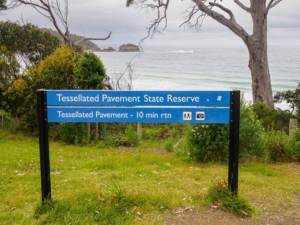
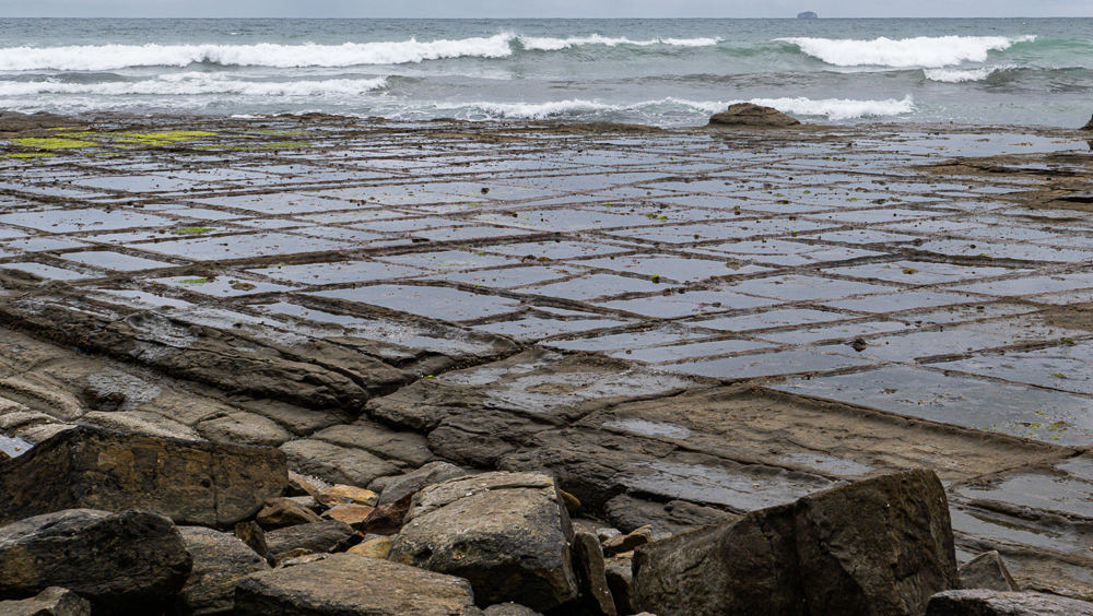
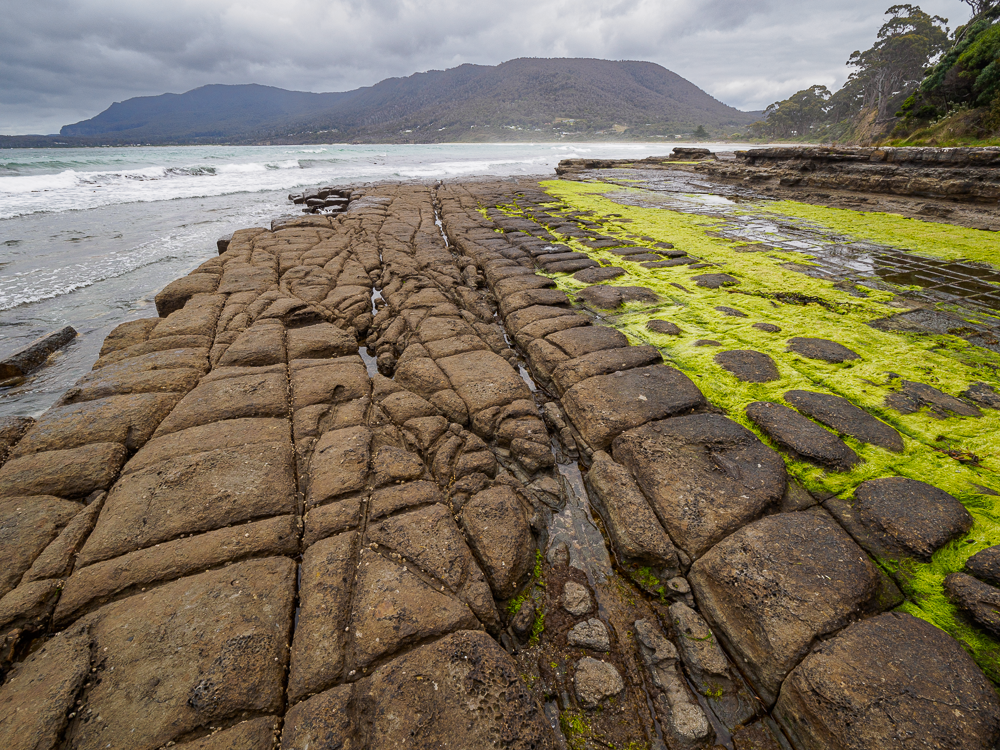
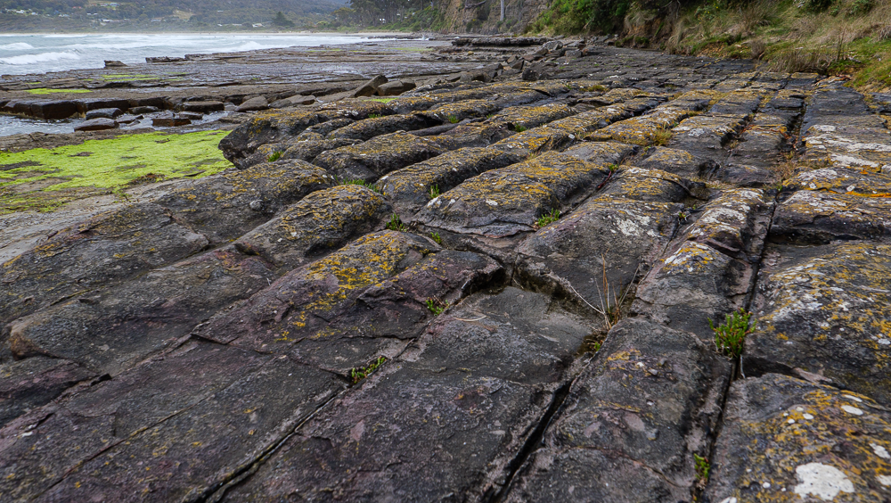
Tessellated Pavement State Reserve
We woke up fairly early and had breakfast (breakie as they say here) at the On the Bay Restaurant around 8:00am. Since the breakfast and lunch crew is different from the dinner crew, there was no Covid risk, and as such it could be open for breakfast and lunch. We had a hearty breakie and were quickly on our way.
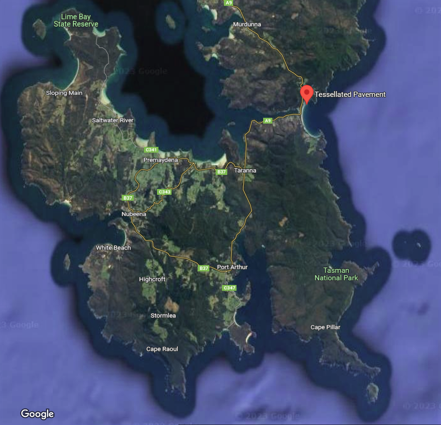
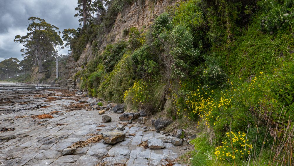
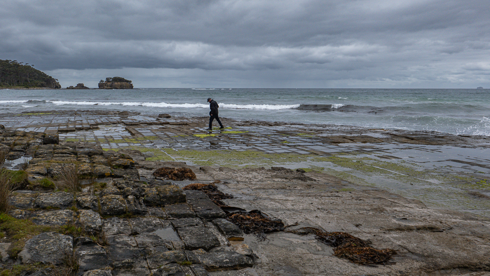
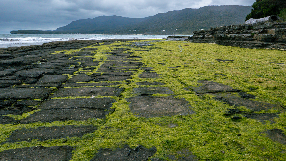
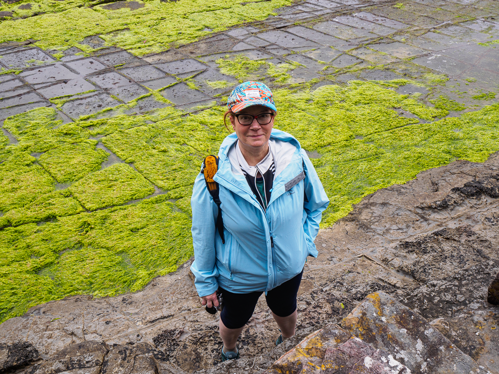
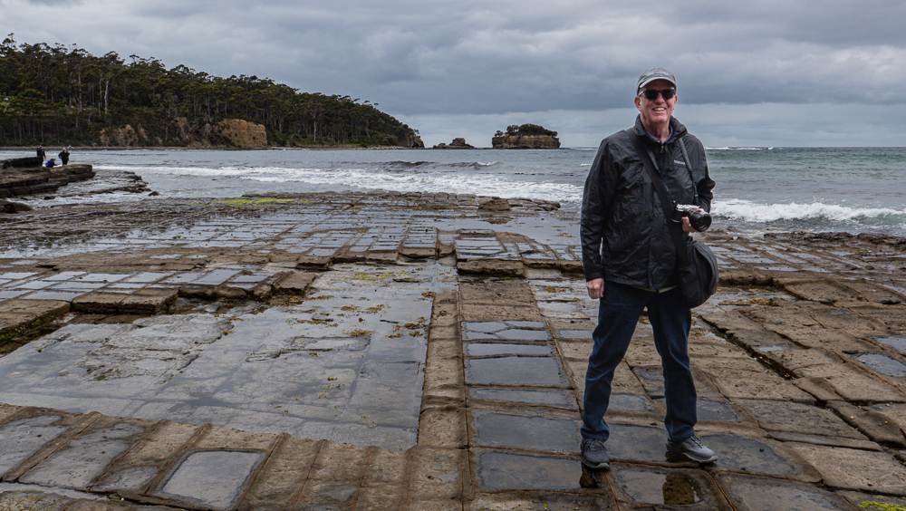
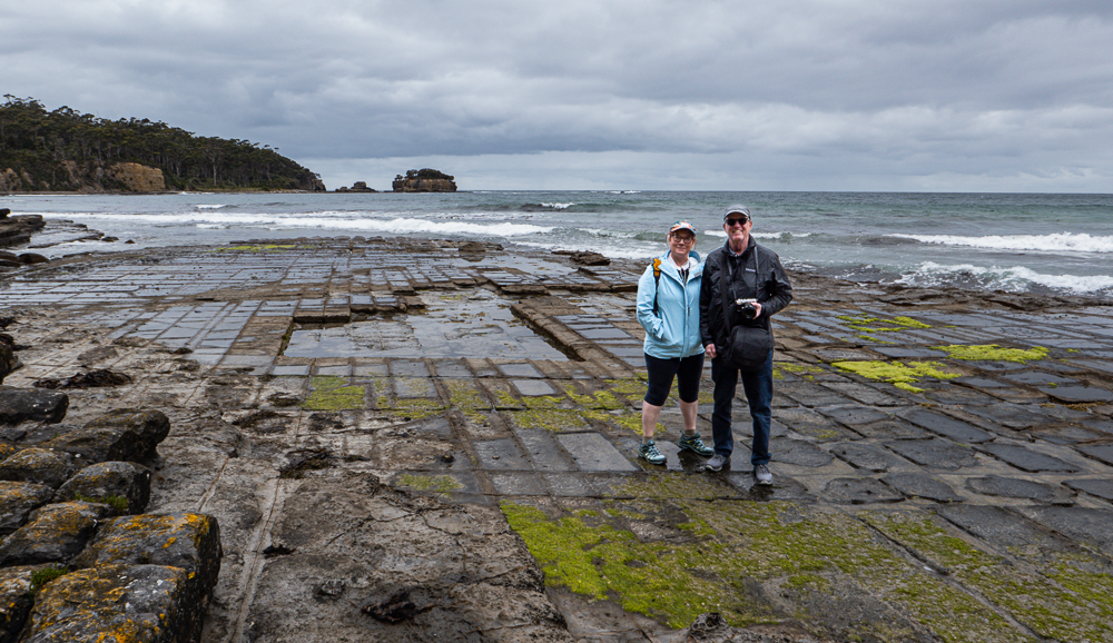
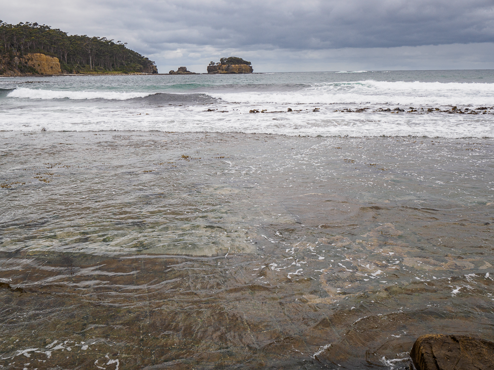
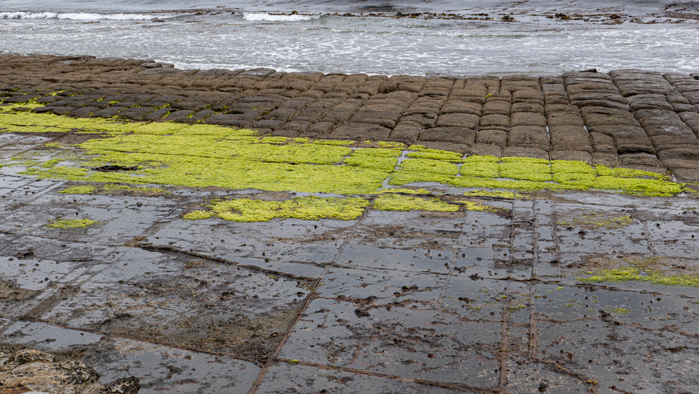
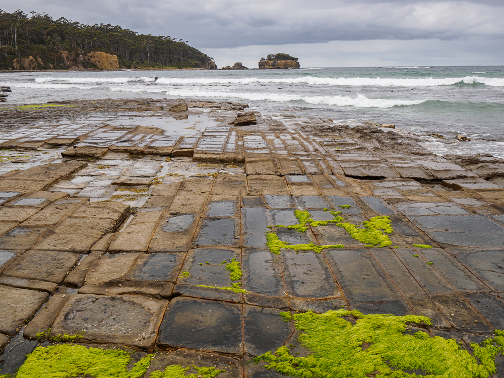
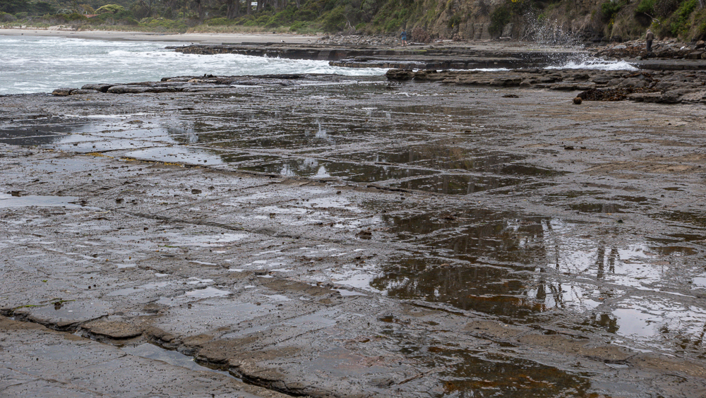
Our first stop for the day was the Tessellated Pavement State Reserve. The rain did stop. Hurray! We walked down to the shore and spent some time exploring (and, yes, taking pictures) of the Tessellated Pavement. Quite an unusual phenomenon only found in a few places on Earth where rocks have fractured into polygonal blocks and appear just like man-made tiles.
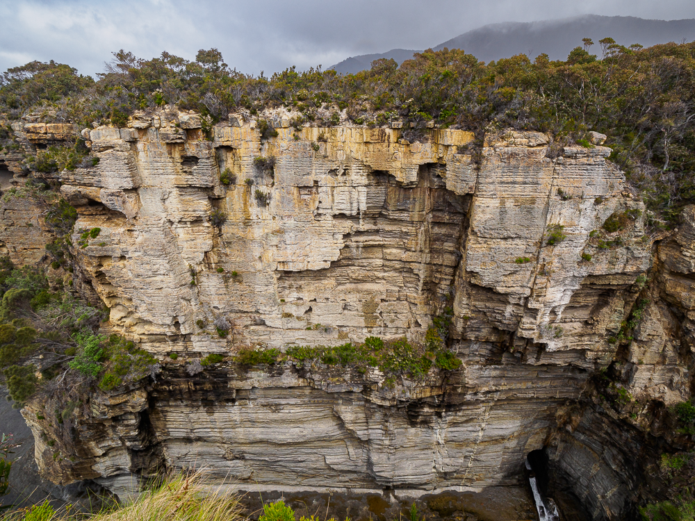
Tessellated Pavement State Reserve Cliffs
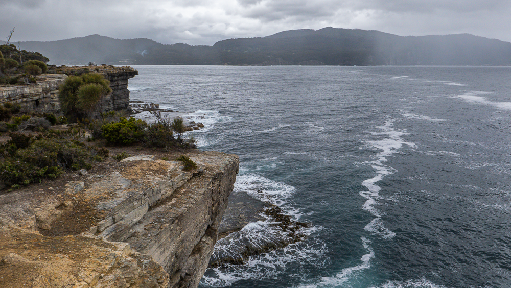
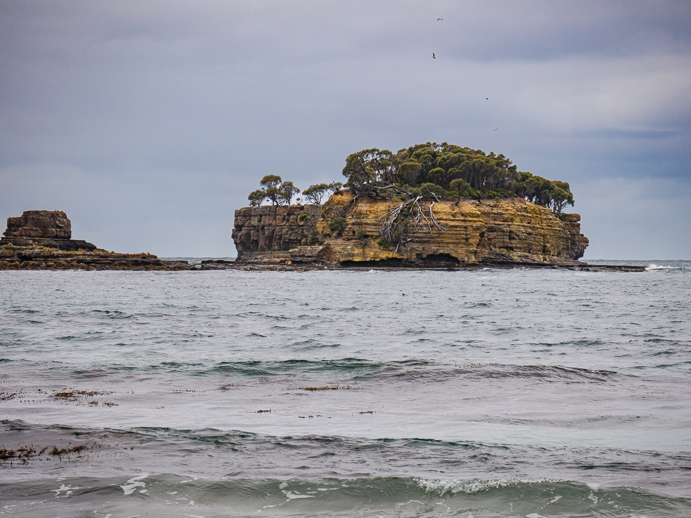
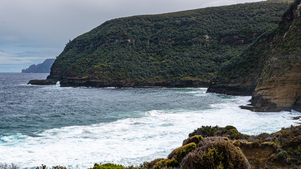
Views of Clydes Island from Tessalleted Pavement
Jim walks on the Tessellated Pavement
Our first stop for the day was at the Tessellated Pavement State Reserve. The rain did stop. Hurray! We walked down to the shore and spent some time exploring (and, yes, taking photographs) of the Tessellated Pavement. Quite an unusual phenomenon only found in a few places on Earth where rocks have fractured into polygonal blocks and appear just like man-made tiles.
A brief lesson in geology. The depressions are called pan formations; the opposite is called a loaf formation as the stones look like rising bread. Supposedly, sunrise is a must see for photographers… next time!
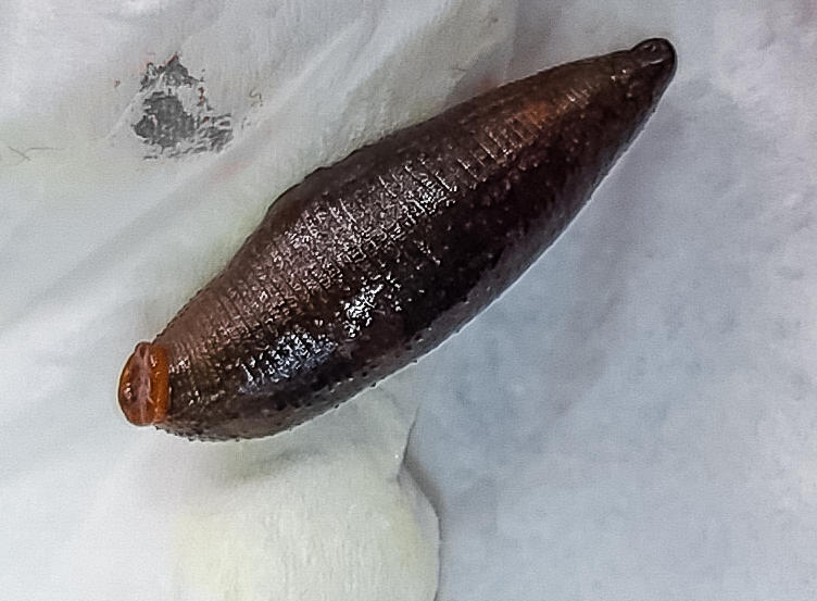
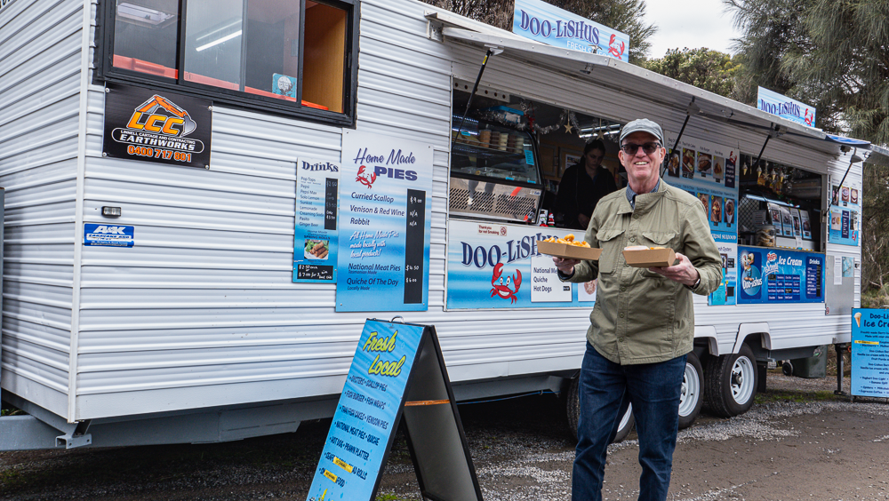
Before continuing on to other sites and doing other short walks, we stopped at the famous Doo-Lishus food van right outside Devils Kitchen. As I was getting out of the car, I noticed something itchy on my leg… saw something slimy on my knee… screamed and brushed it off only to realize that it was a leech. Disgusting! It had bitten me through my tights… I must have gotten it when we were walking on the trail to the Tessellated Pavement State Reserve. Gross. I sent a photo to Jess so she could ask Alex if it was indeed just a leech and not some other poisonous “beasts” only found in Australia! To my relief, she confirmed it was just a leech.
Recovering from my leech scare, we ordered our lunch from the van. Fish and Chips and Calamari and Chips – so much fried food! But it was very fresh and very good… but I don’t think I can eat more fried food for a long time.
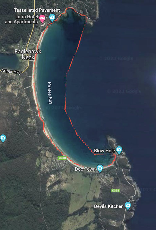
Pirates Bay
Although the weather was still not the best, we decided to continue our scenic route. The coast of the Tasman Peninsula is incredible! Gorgeous views from anywhere you look.
The Eaglehawk Neck-Pirates Bay is famous for being the point that prevented convicts from escaping Port Arthur due to the narrow sandbar that connects the Tasman Peninsula to the rest of Tasmania. During the Port Arthur days, this area was protected by a pack of dogs to prevent the convicts from crossing the line; it was called the Dog Line.
We were able to do some short hikes in the area, but the rain made it difficult to do lengthy hikes. This part of Tasmania is certainly an area to visit again – and it is so close to Hobart.
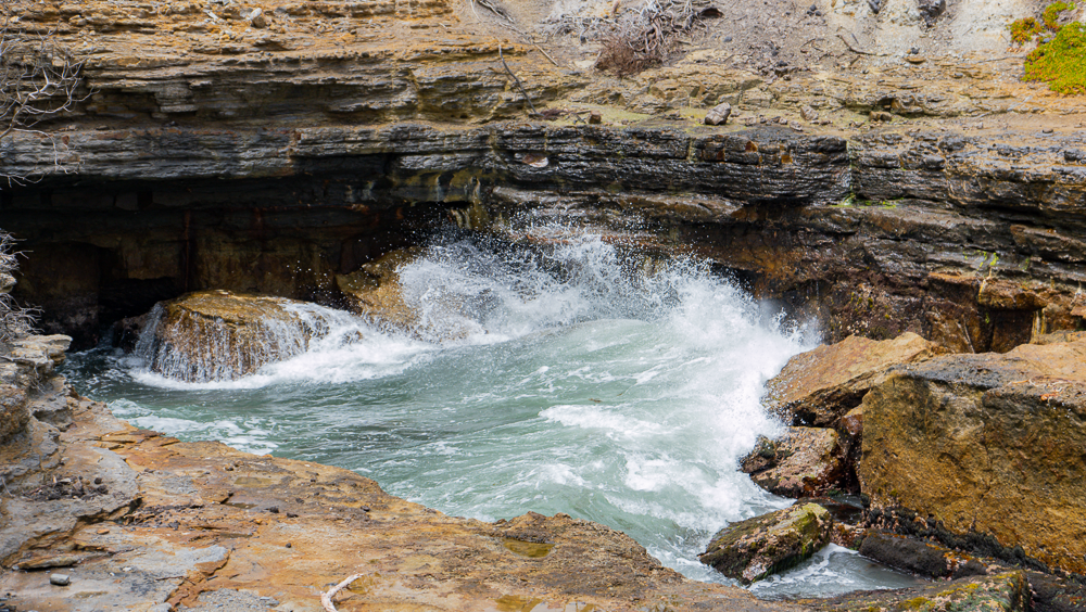
So many beautiful lookout points and hikes around the Pirates Bay area, Blow Hole, and Devils Kitchen
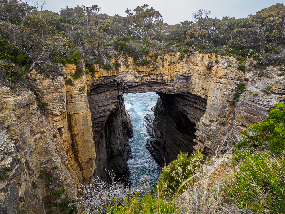
Devils Kitchen Cliffs
Pirates Bay
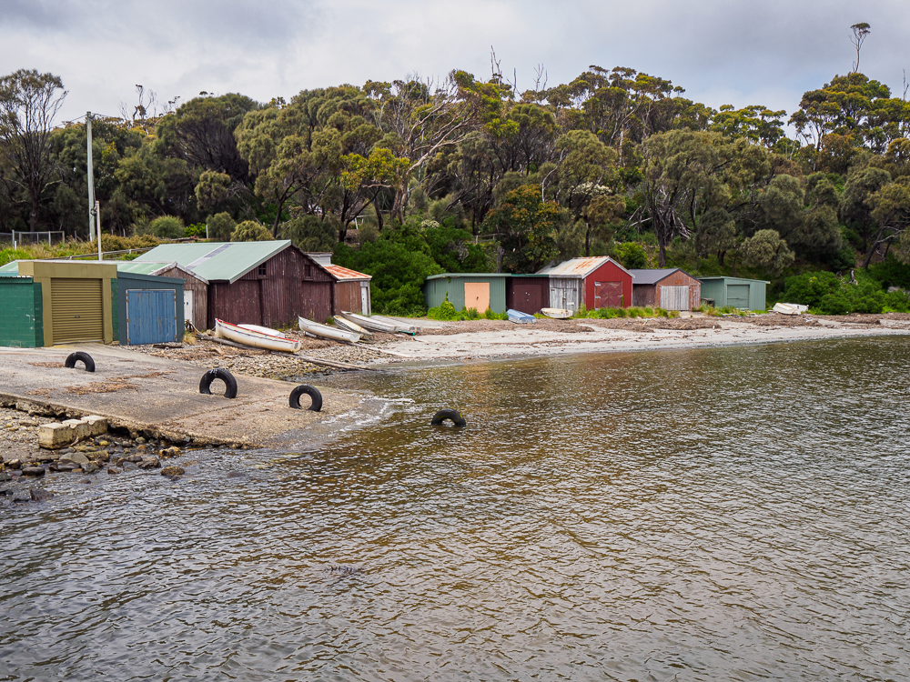
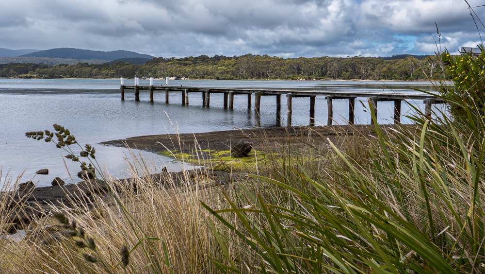
The small port of Pirates Bay, mainly for fishing and leisure boats
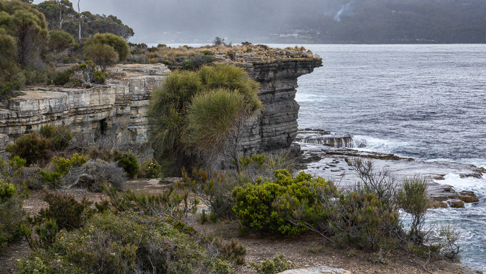
Lookout point from Devils Kitchen
Devils Kitchen, the Tasmans Arch
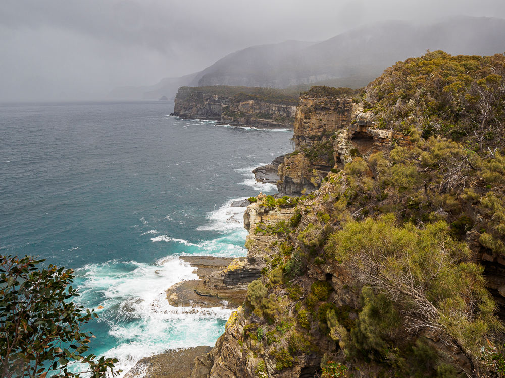
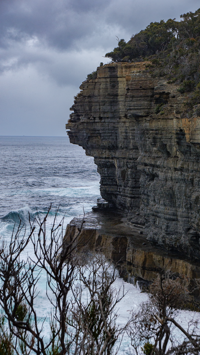
Pirates Bay Cliffs
Pirates Bay Cliffs
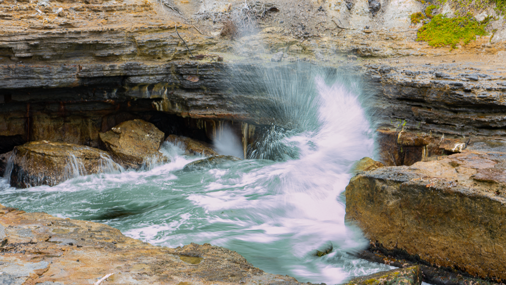
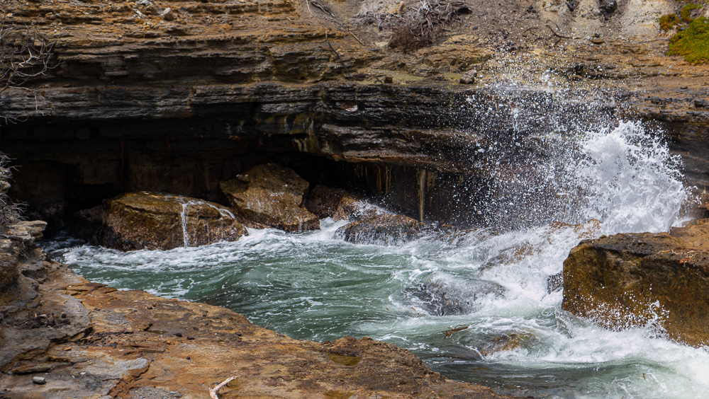
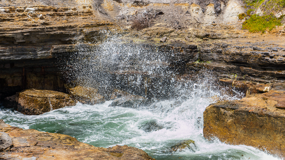
Blow Hole at Pirates Bay
Photo gallery of the Blow Hole at Pirates Bay
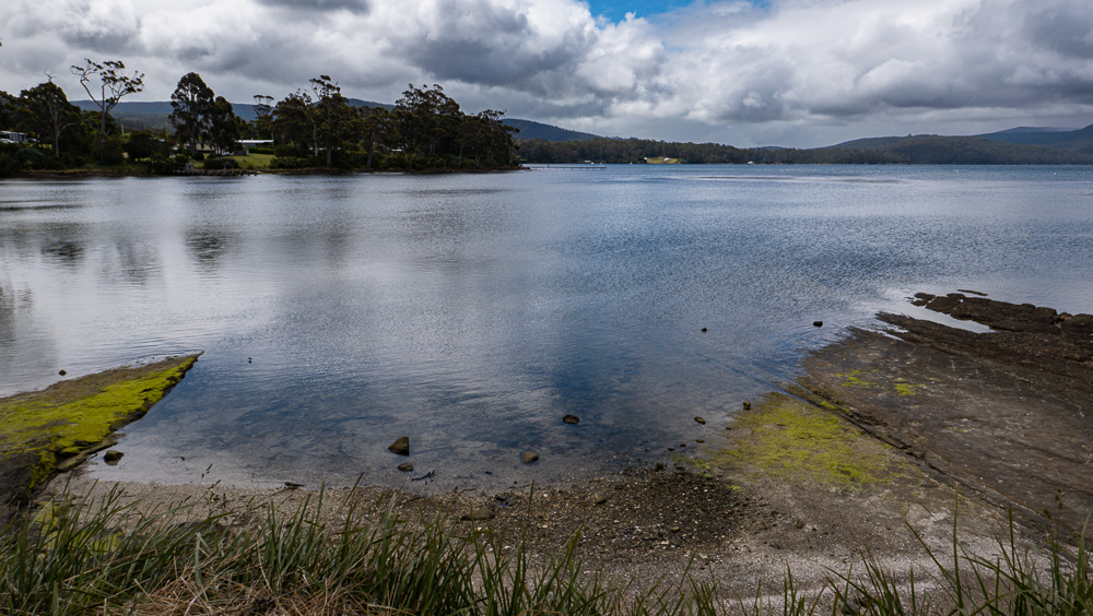
Safety Cove State Reserve
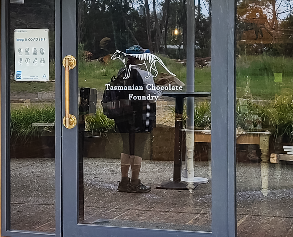
Our day was not quite over yet! We drove back toward Port Arthur, stopping at the Tasman Chocolate Factory to buy some chocolates for Alex’s parents and for us too!
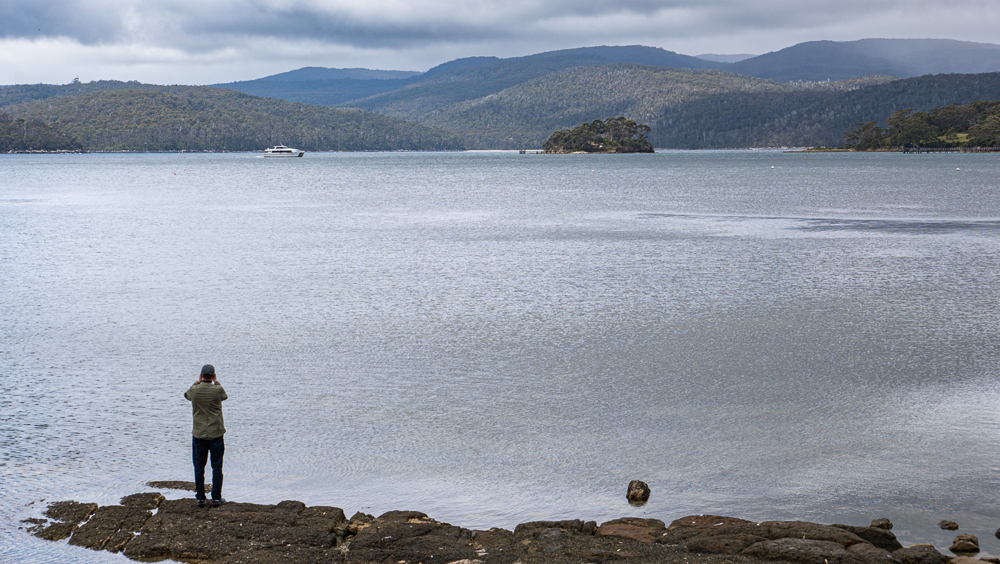
Jim takes pictures of the Port Arthur ferry
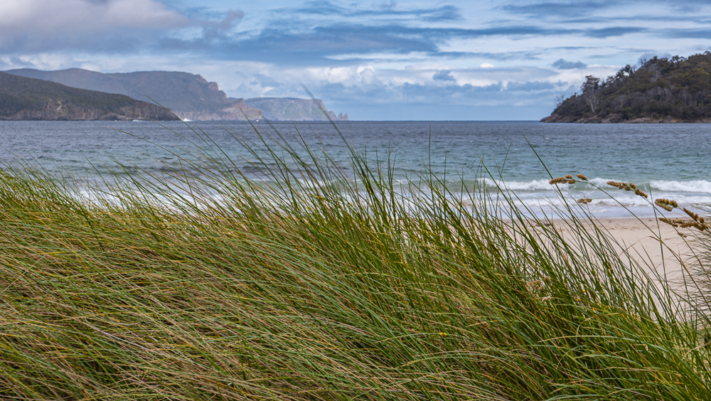
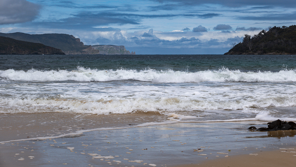
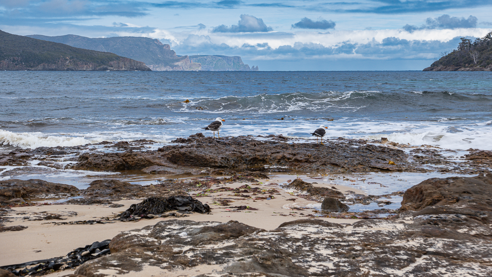
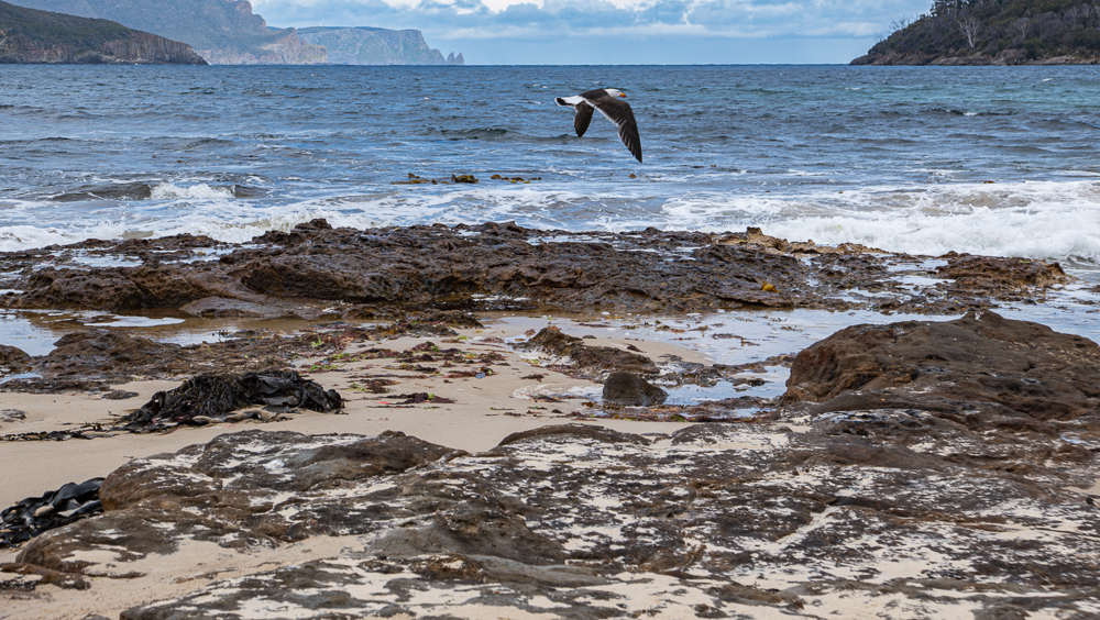
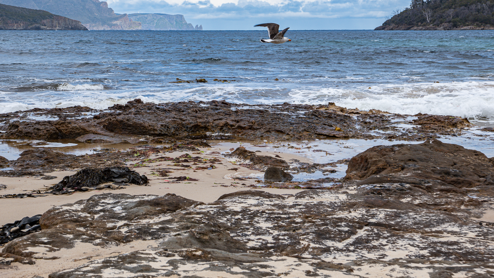
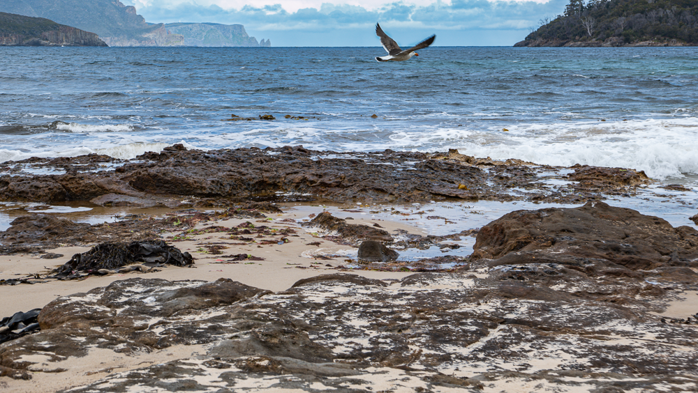
We then drove past Port Arthur and stopped at the Safety Cove State Reserve, which is right around the Port Arthur Historic Site. Thanks to the beautiful light through the clouds we were able to capture very nice photographs walking on the beach.
Photo gallery of the Safety Cove State Reserve
Photo gallery of the beach with seagulls in flight
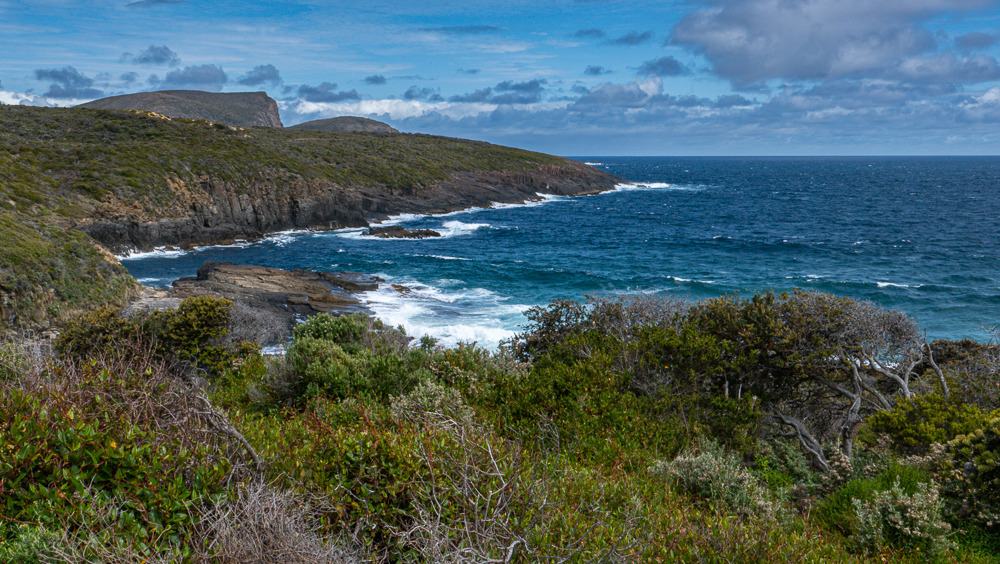
Tasman National Park
We decided to check out the other side of Tasman National Park, which was only a few kilometers from the Safety Cove State Reserve. When we got there, we were pretty much all alone. We stopped only for a short time as it was very windy at the edge of the Park.
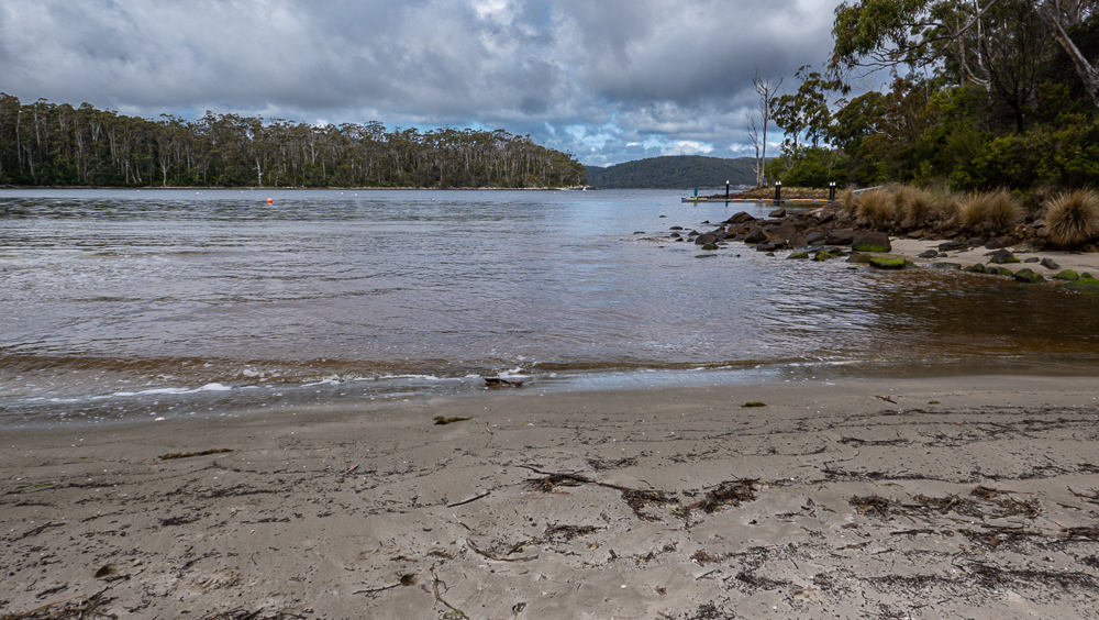
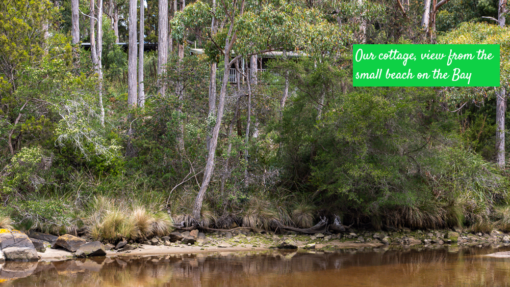
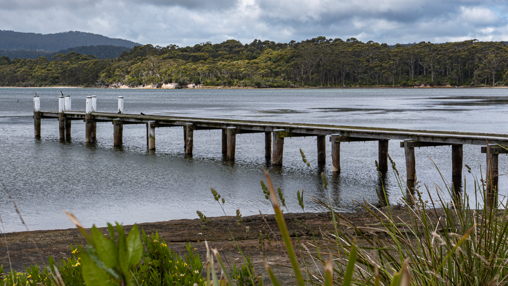
Back to our cottage, we took a short walk behind our cottage where there is a small beach called Stewards Bay Beach. The wind had died down and it was almost “warm.” We were looking forward to tomorrow as the weather forecast was still holding as being super sunny and warm!
Stewarts Bay Beach
Stewarts Bay Lodge
After this full and fun day, we decided to stay in our cottage for dinner – which was really more like an indoor picnic. We even had time to check out some of the TV stations… nothing very exciting was on.


