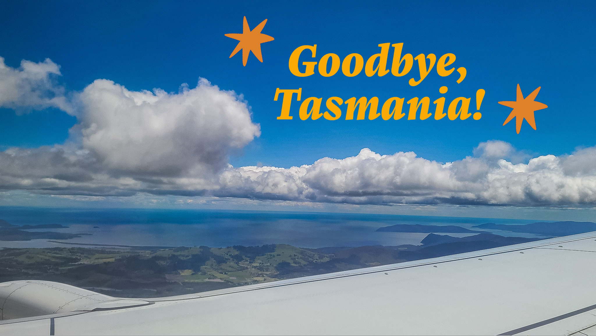
DAY 18 - December 27, 2022 - From Corinna to Stanley
Goodbye, Corinna
much stuff!! Lots of empty bottles of beer, wines… must’ve been some wild parties these past few days. Rupert and Narelle had a full car hauling everything back to their house. They also had to take some of the garbage with them.
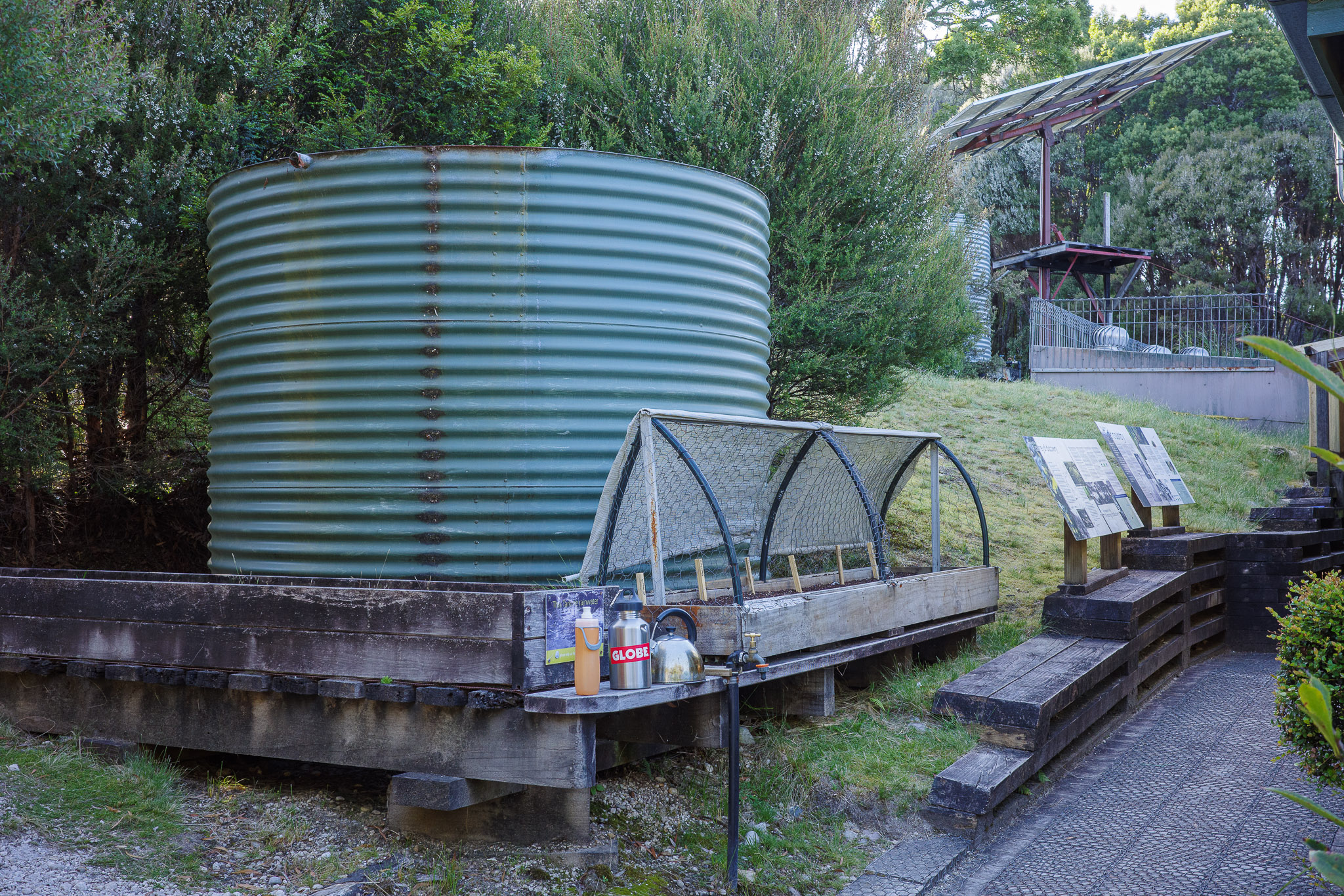
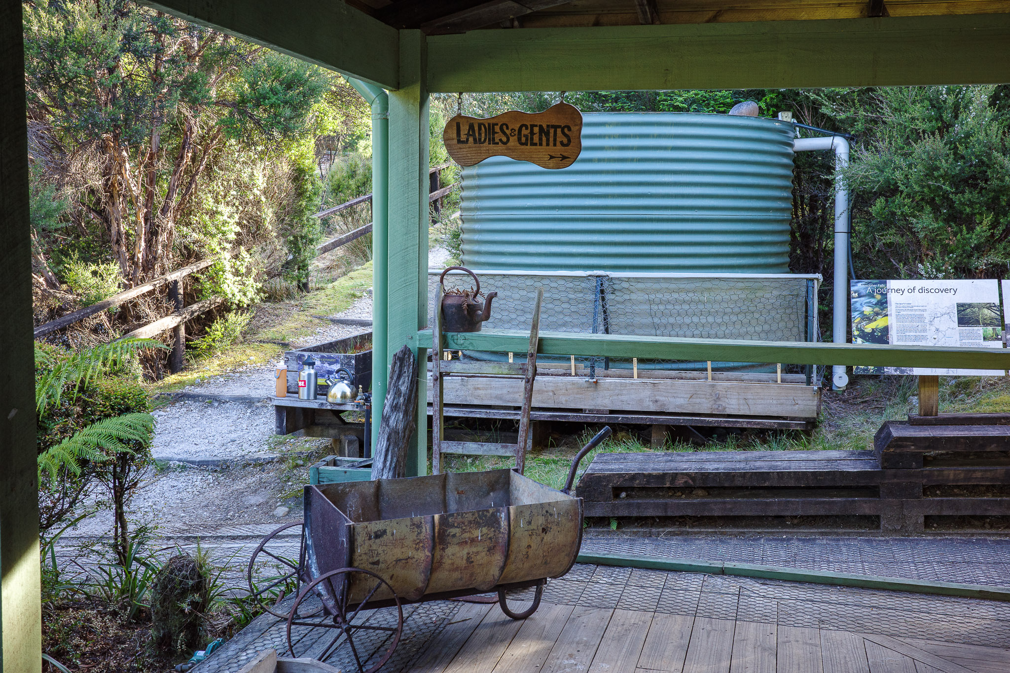
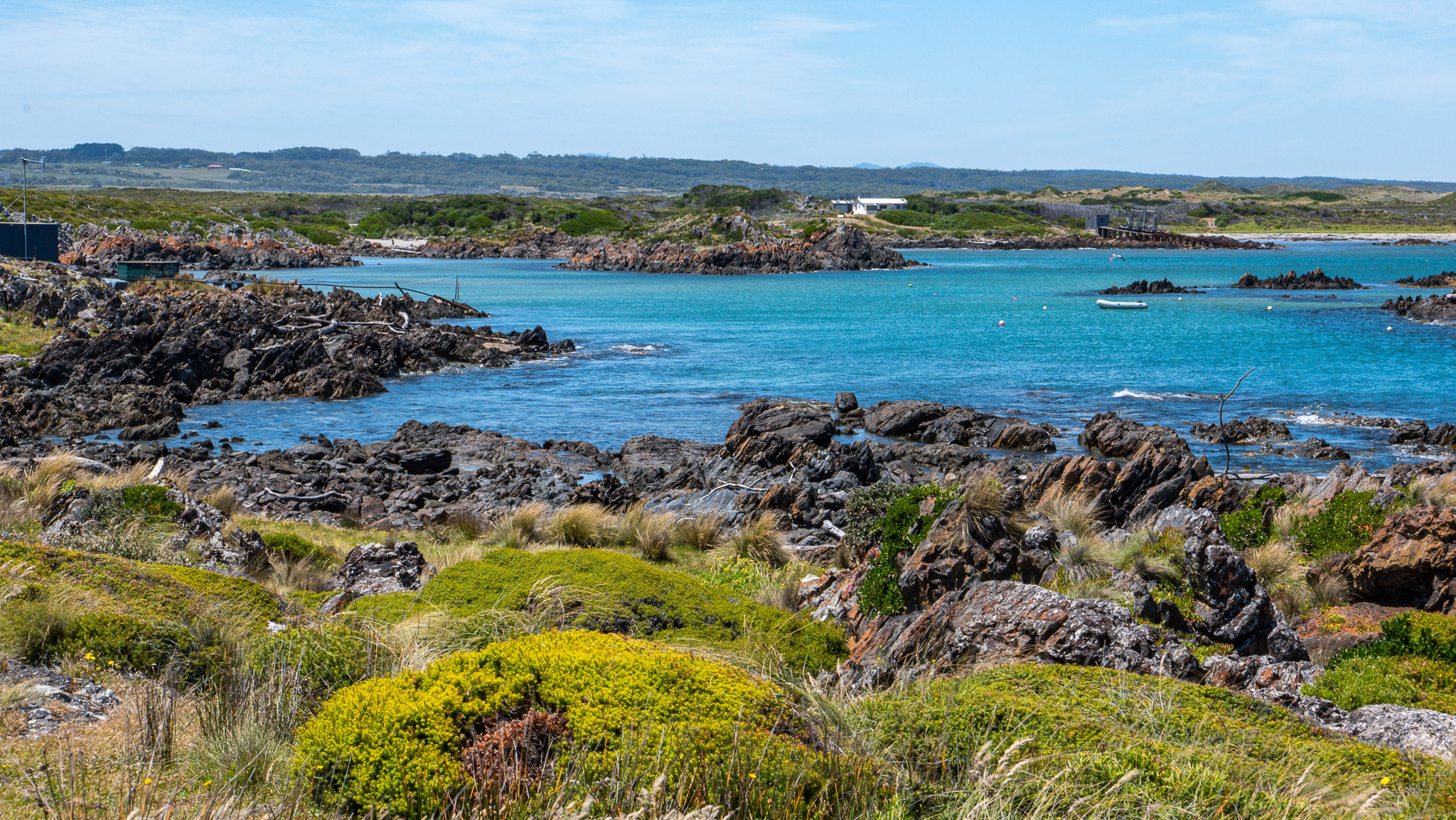
Before leaving, Jim took some photos of the water station that we used to fill our bottles. Each cabin has its own water tank but there is a central water station that is fed by both rain falls and the river.
After settling our accounts with the reception, we were ready to depart at about 10:00am. After goodbyes (we will exchange email addresses and Jessica will be the photo “router” for everyone!), we were off – Rupert and Narelle toward Shearwater; the rest of us toward Stanley.
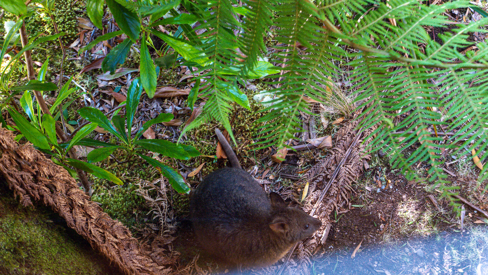
Goodbye, little pademelon... he was resting right gelow one of our cottage windows as we were packing
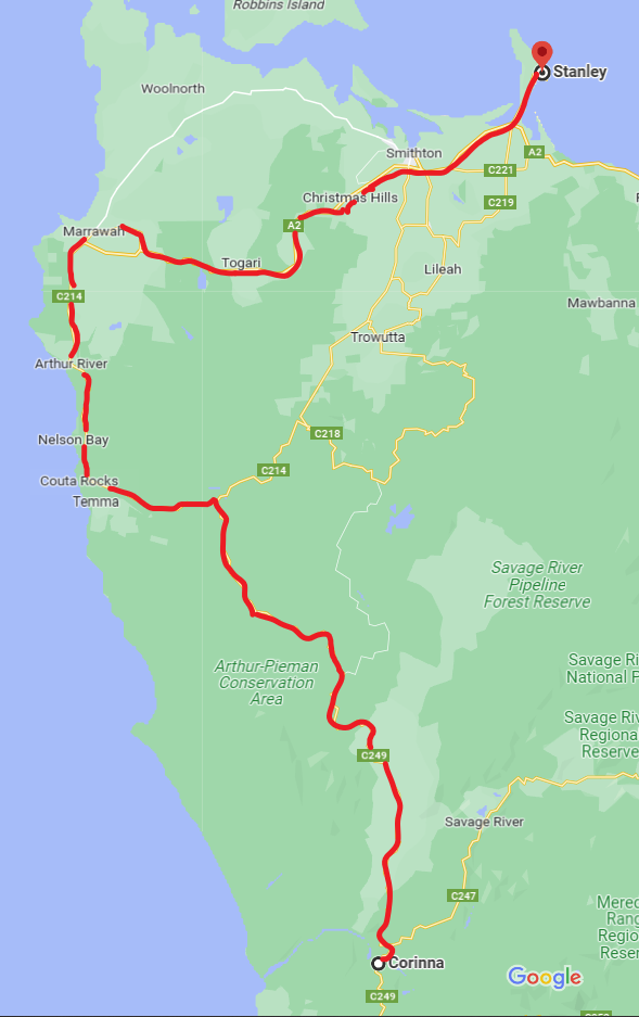
The Western Explorer
On the below map, you can see the road we were going to travel today. I had to draw the itinerary in red myself as Google does not have all the information to provide details about mileage and directions… it shows how this area of Tasmania is still unexplored. I love it!
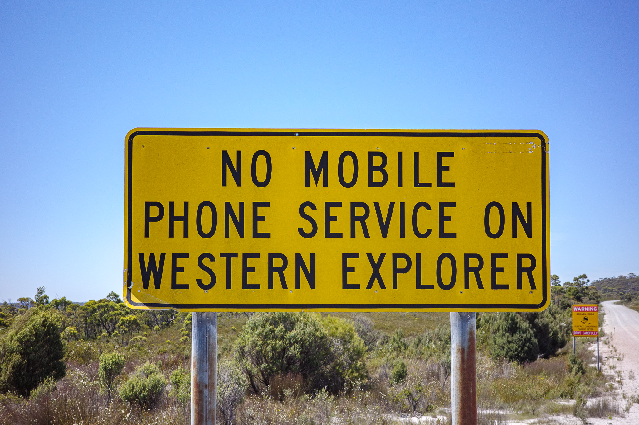
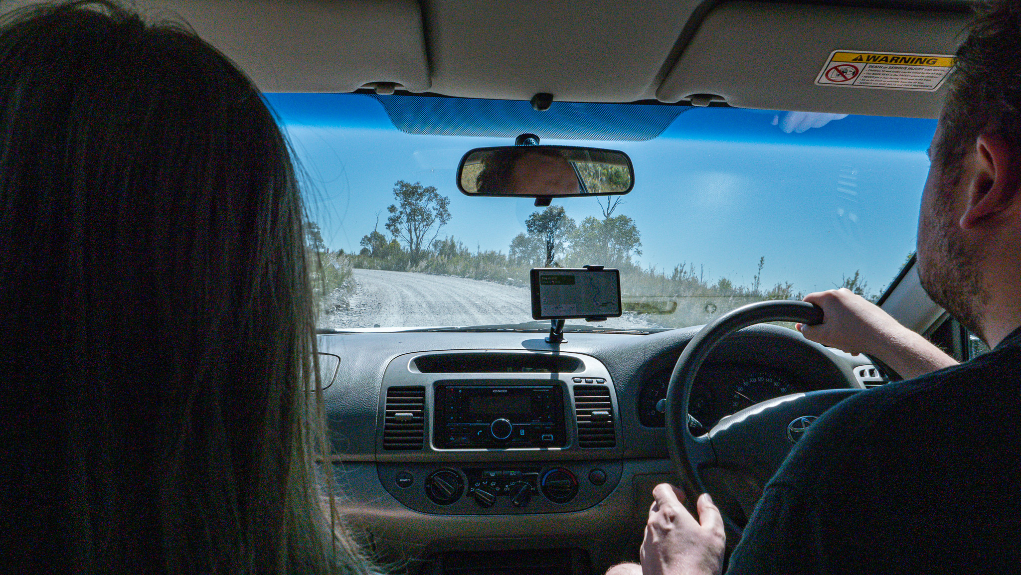
As we drove for several minutes out of Corinna, at last, we had cell reception – euphoria! Lots of ding-dings in the car. Some very “important” text messages: Netflix account issue due to the stolen credit card, CVS pharmacy prescriptions ready to be picked up (sure, I’ll be right over), and holiday messages from friends. Having satisfied our electronic cravings, we were able to enjoy amazing wilderness across Northwestern Tasmania.
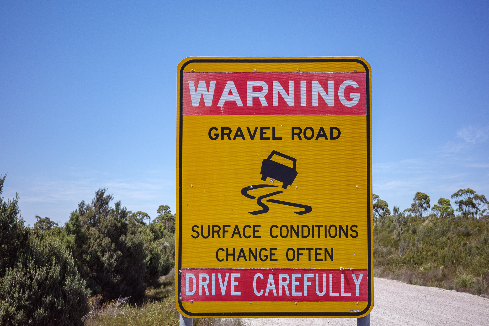
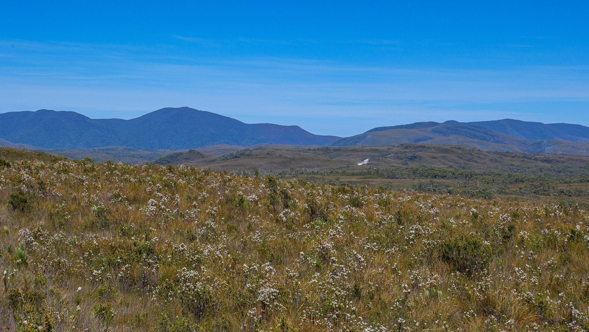
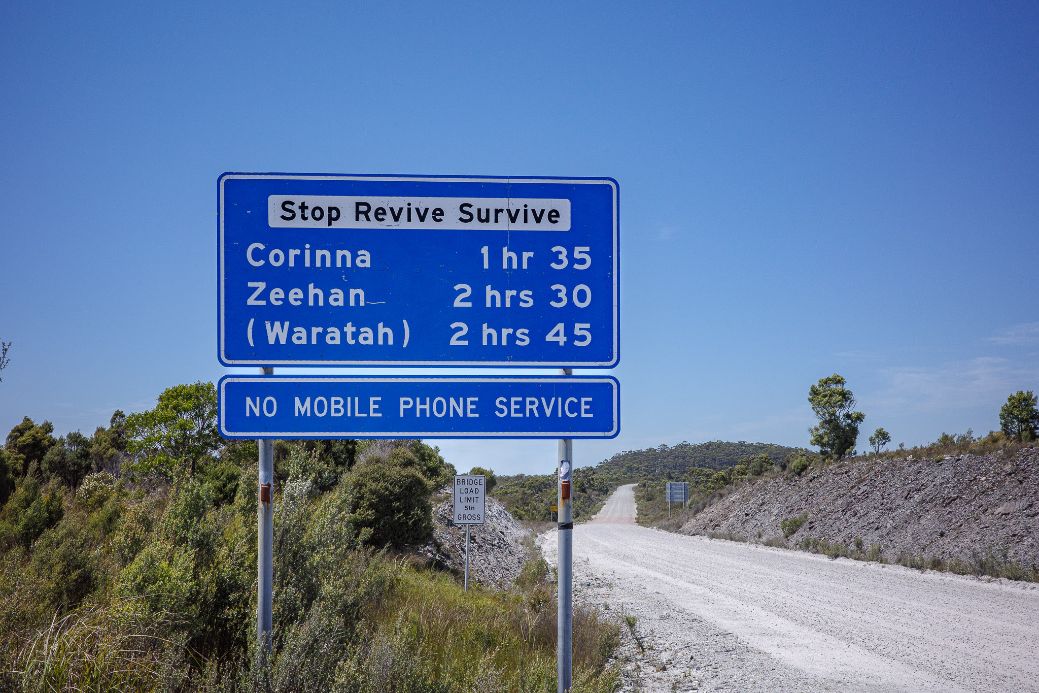
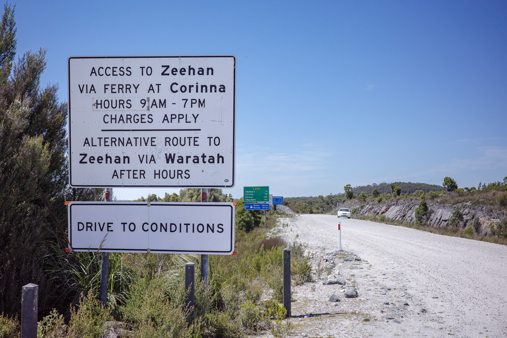
From Corinna to the junction with C214, it is the famous “white” road, over 77 kms (48 miles), and approximately a two-hour drive through amazing wilderness. Once more, the scenery reminded us of parts of the Southwest in the US.
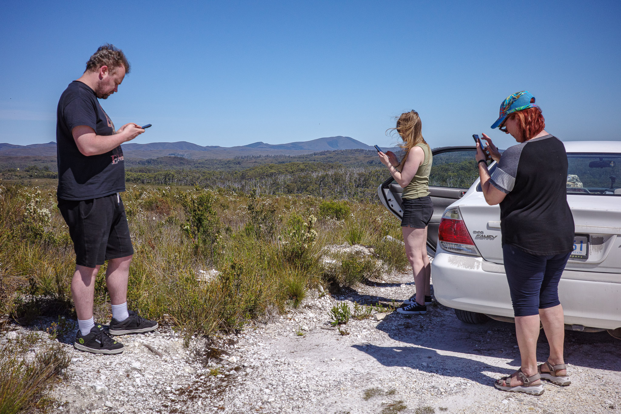
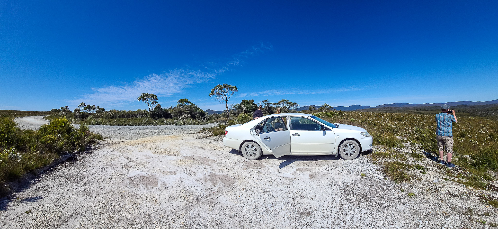
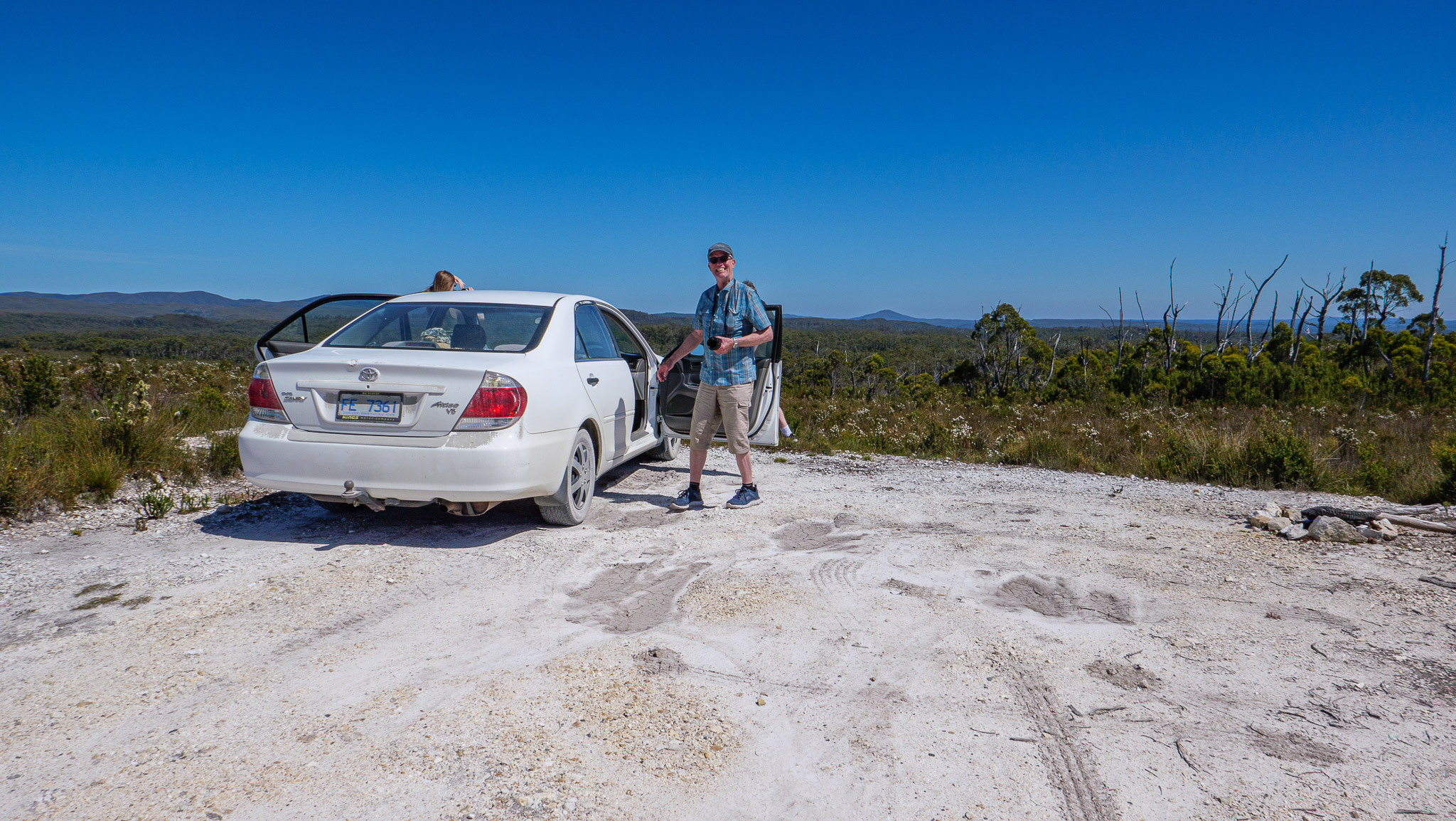
Break to take some photos of the wide-open spaces at the top of the world! And, yes, it is also the place where we had Internet access for a very brief instant…
View of the Western Explorer and the wide-open spaces
Back on the road again
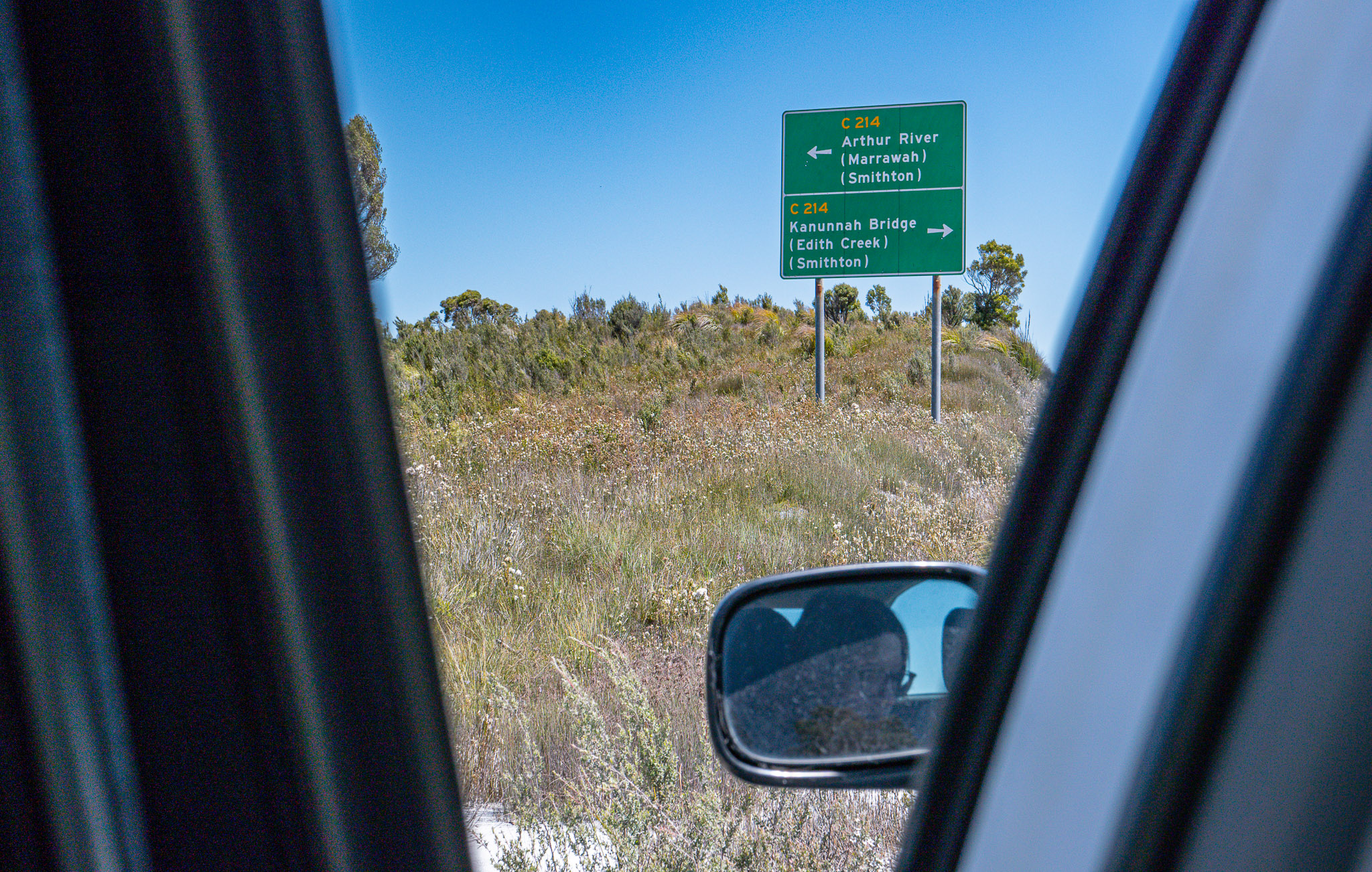
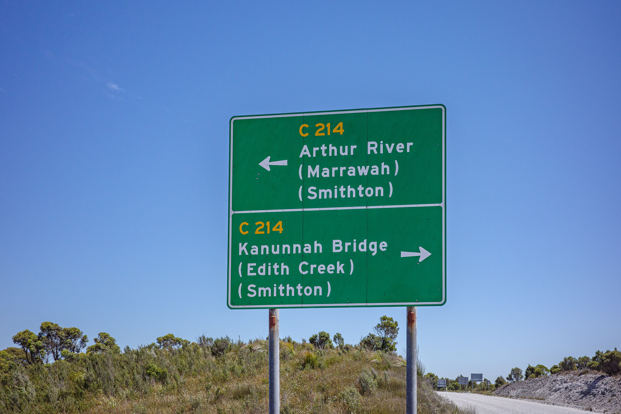
At the C214 Junction
After a couple of hours on the white gravel road, we arrived at the C214 Junction. Our direction is West, toward Arthur River and Marrawah. We had read in our guide book that along the way there are amazing sites to see with plenty of outdoor activities (we will need to come back to explore this wilderness area…).
After stretching our legs and taking some photos, we continued our road trip. Next stop is Couta Rocks.
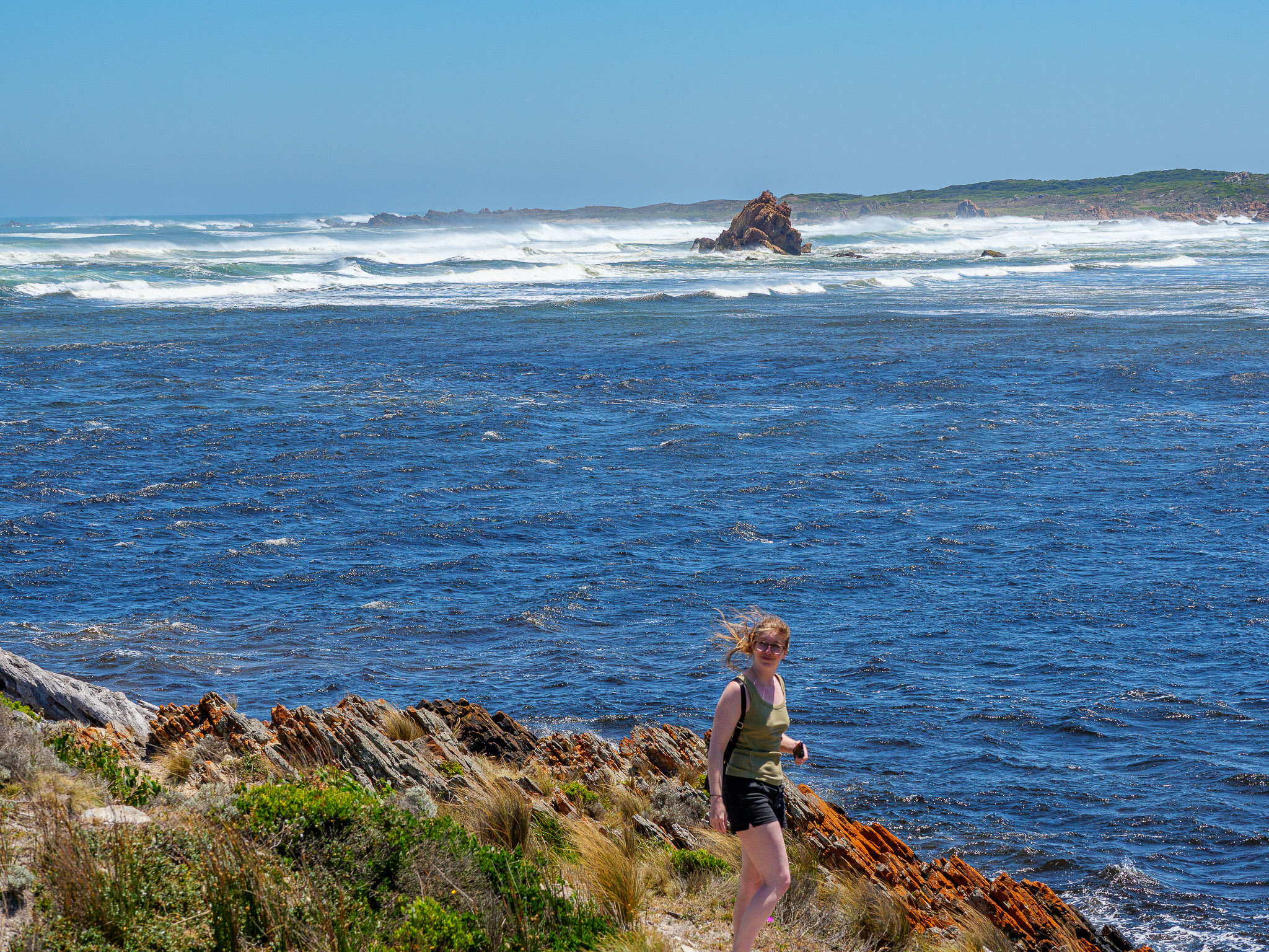
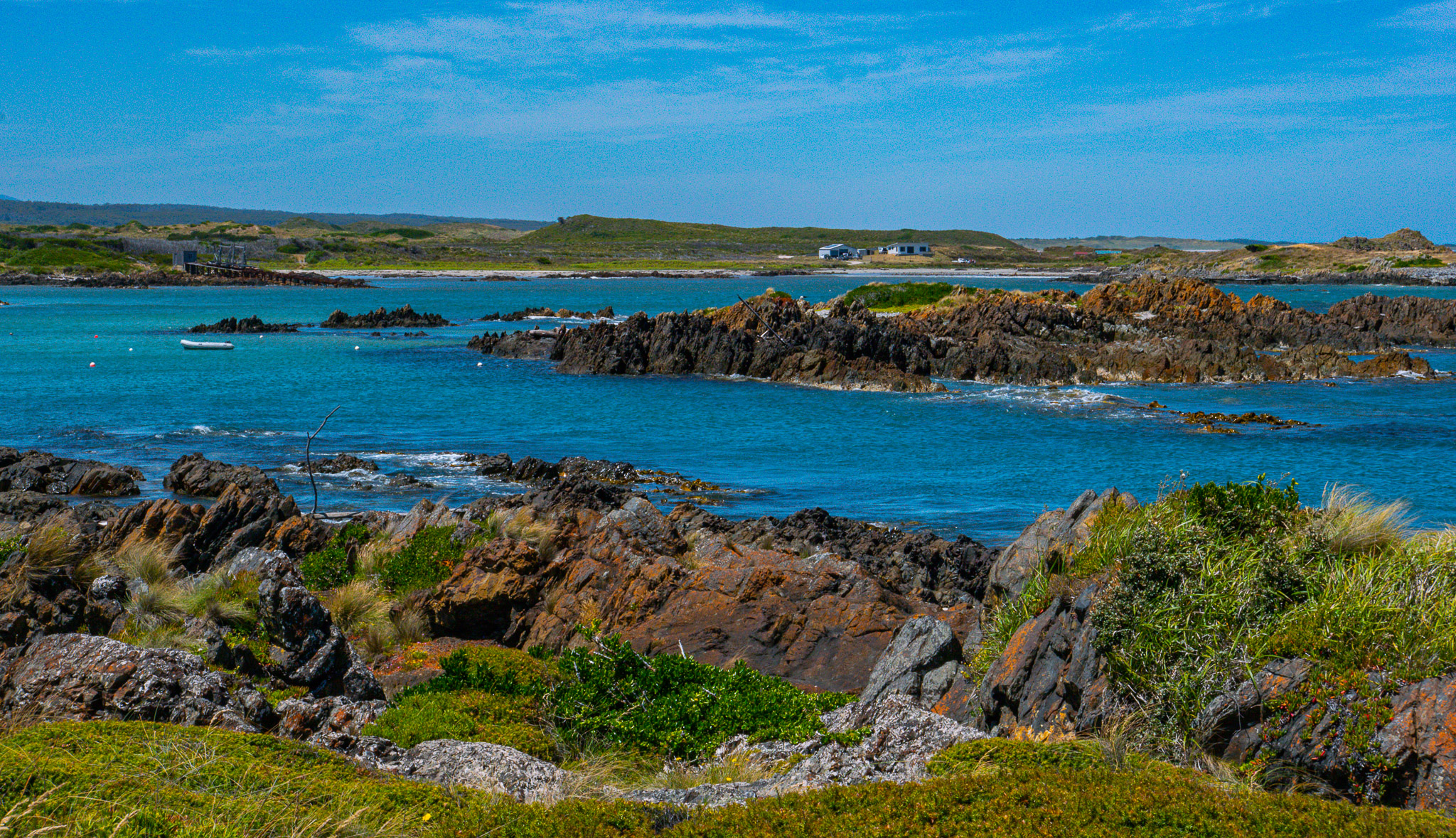
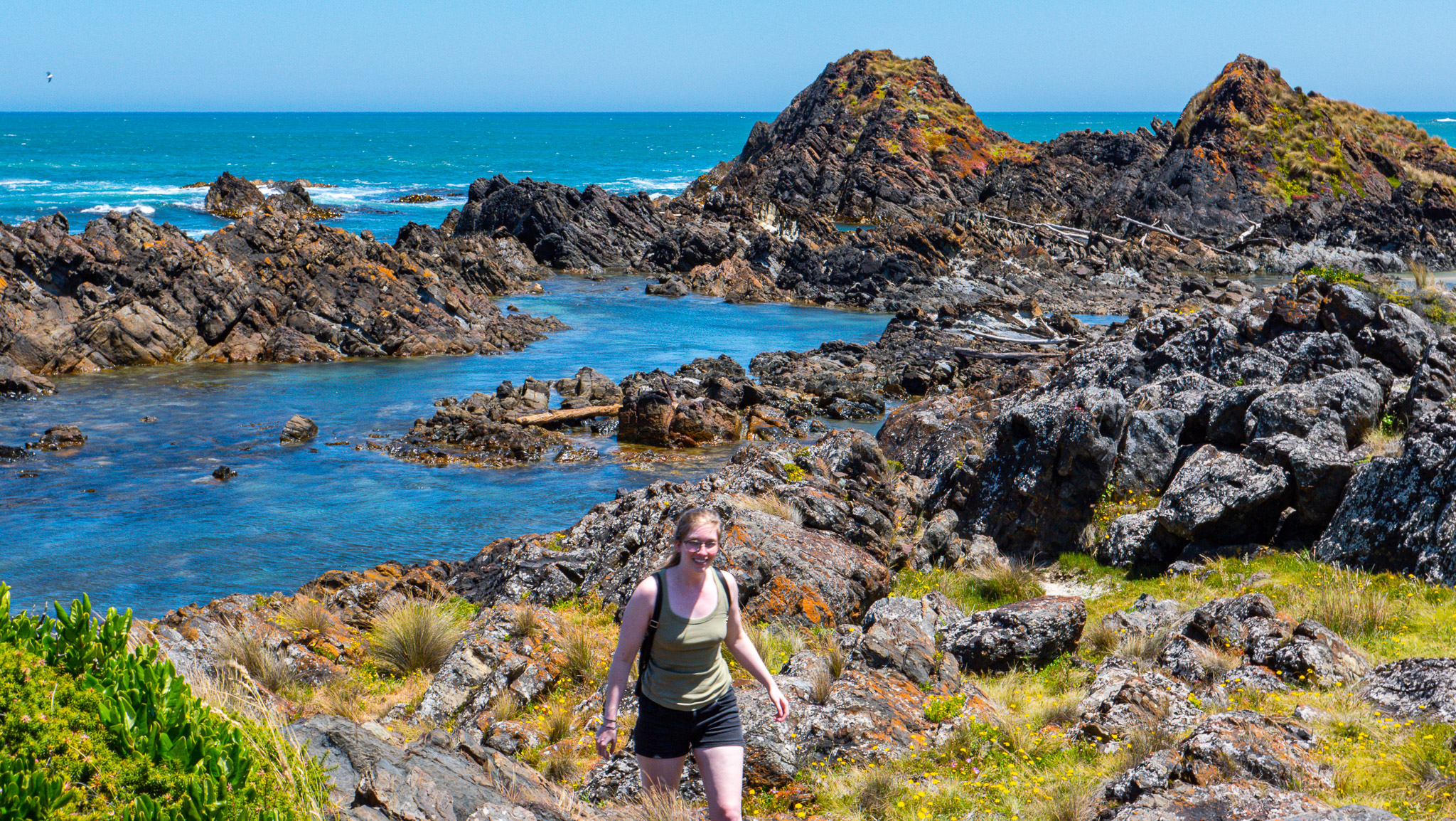
Couta Rocks
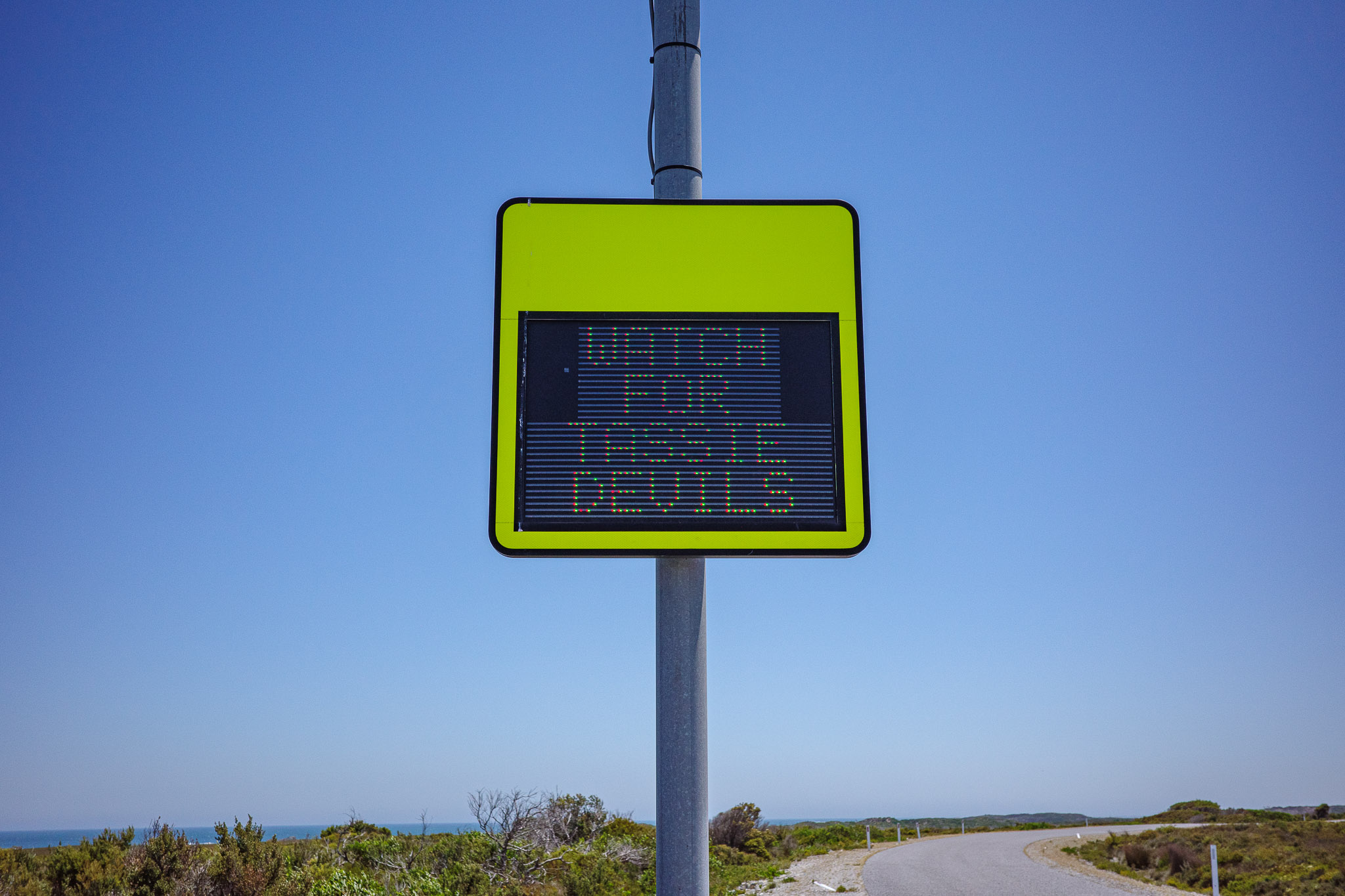
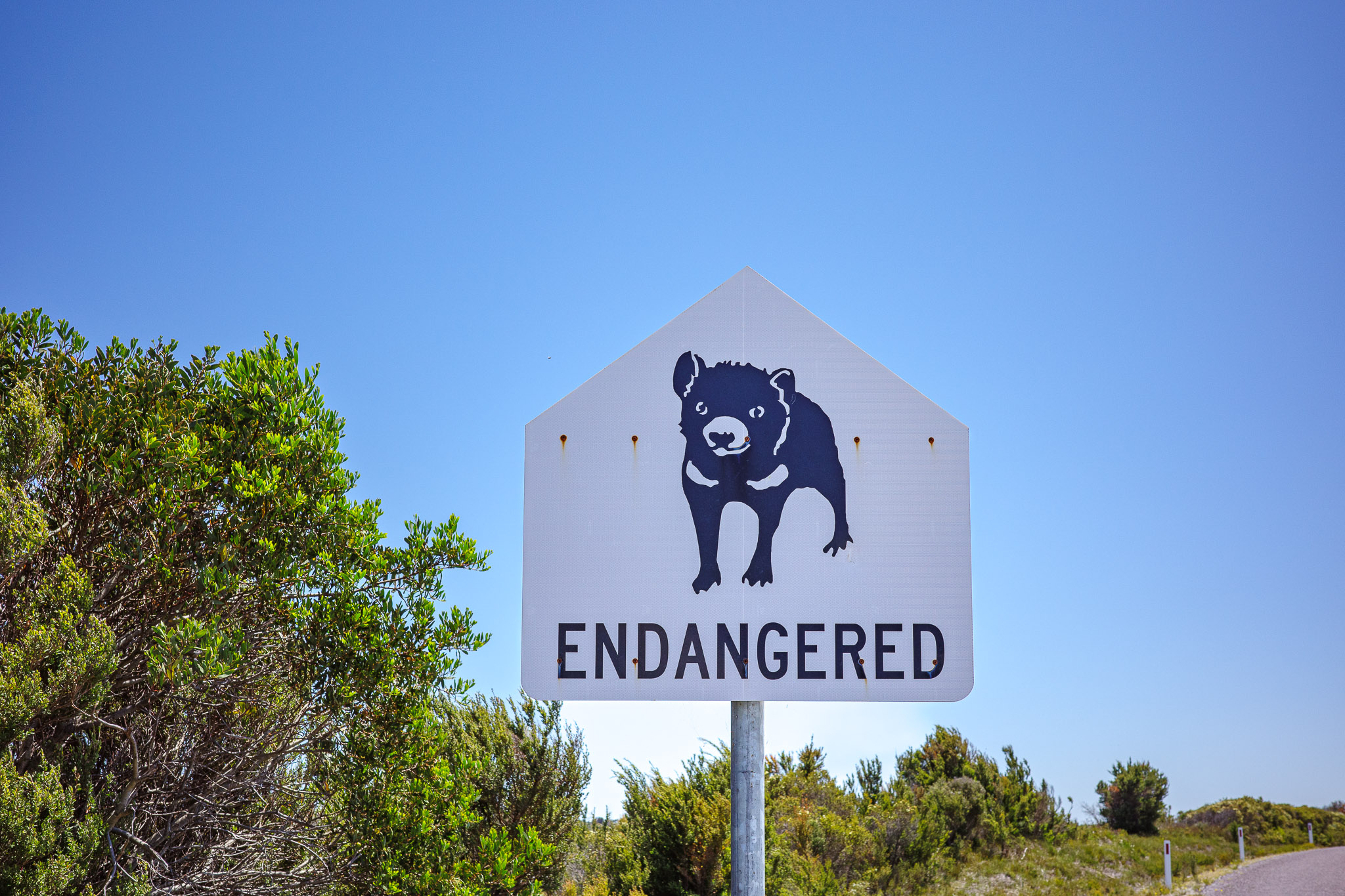
On the way to Couta Rocks we saw this interesting sign about watching out for the endangered Tasmanian Devil. However, we didn’t see one this time.
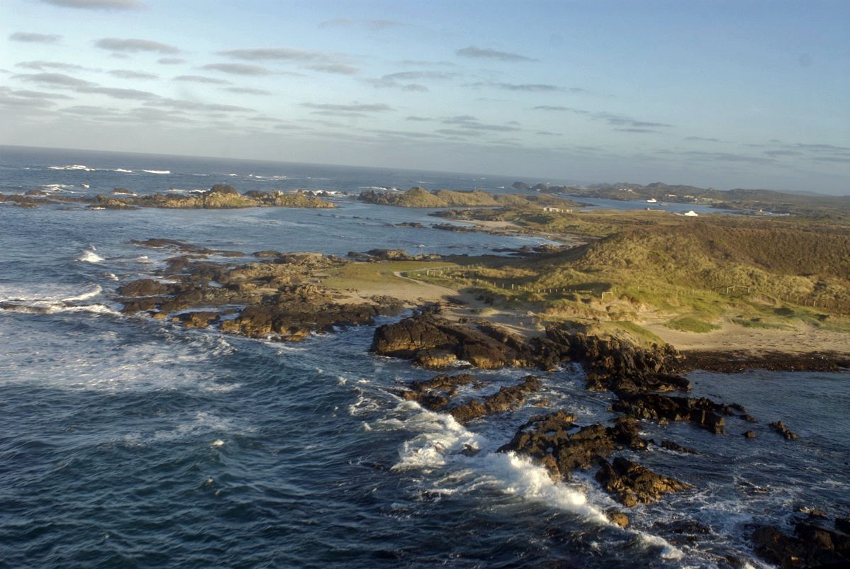
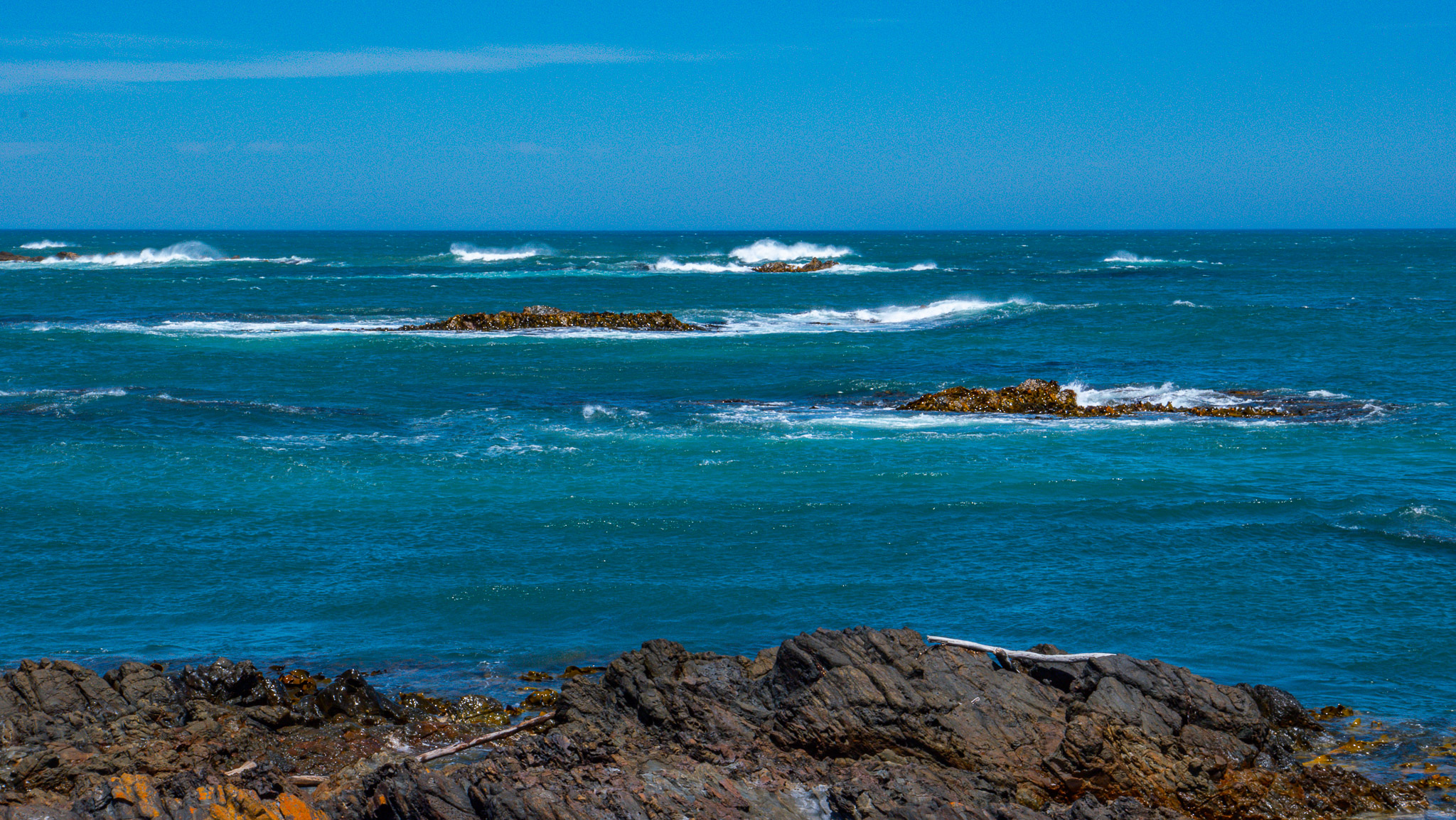
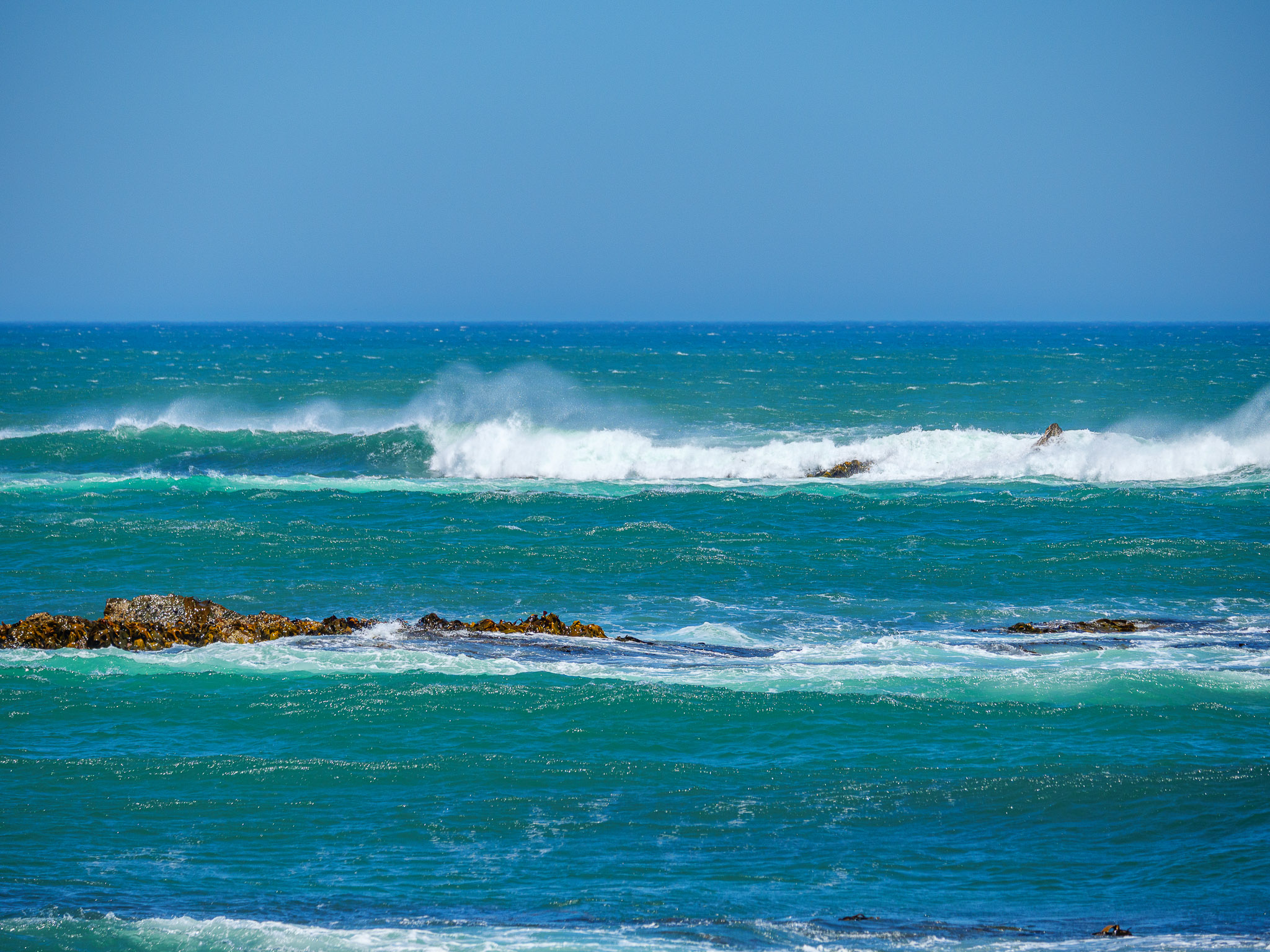
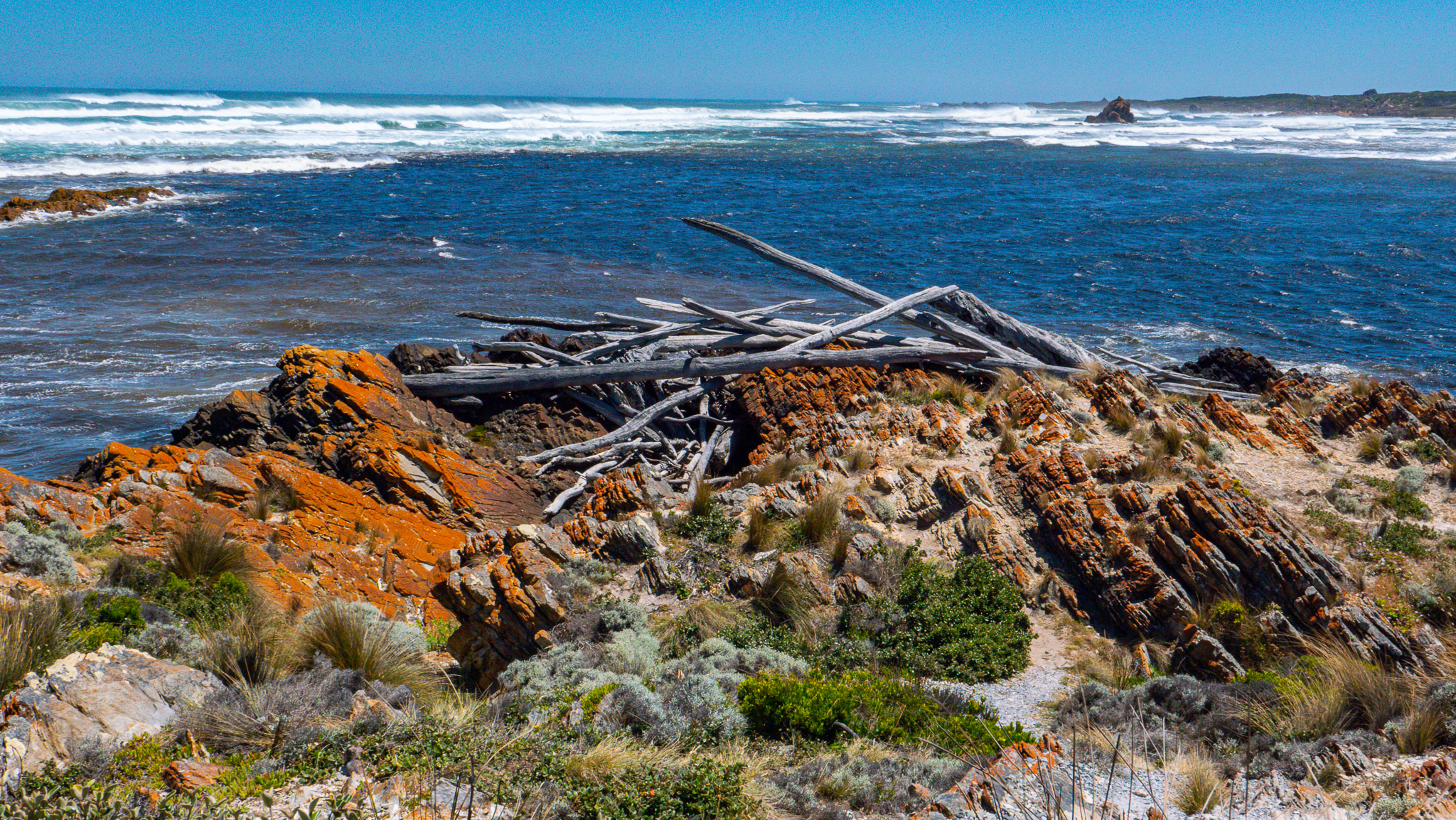
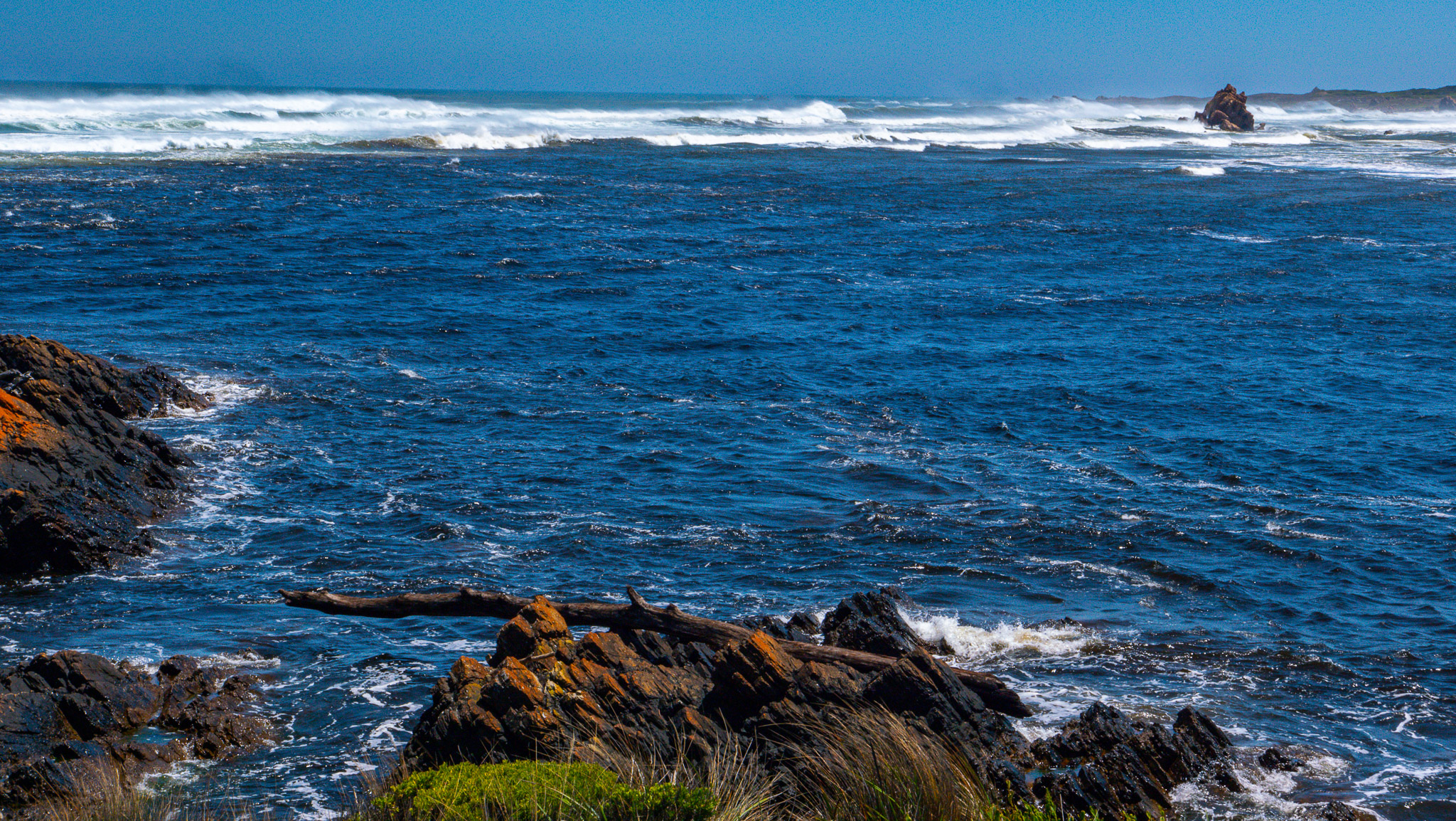
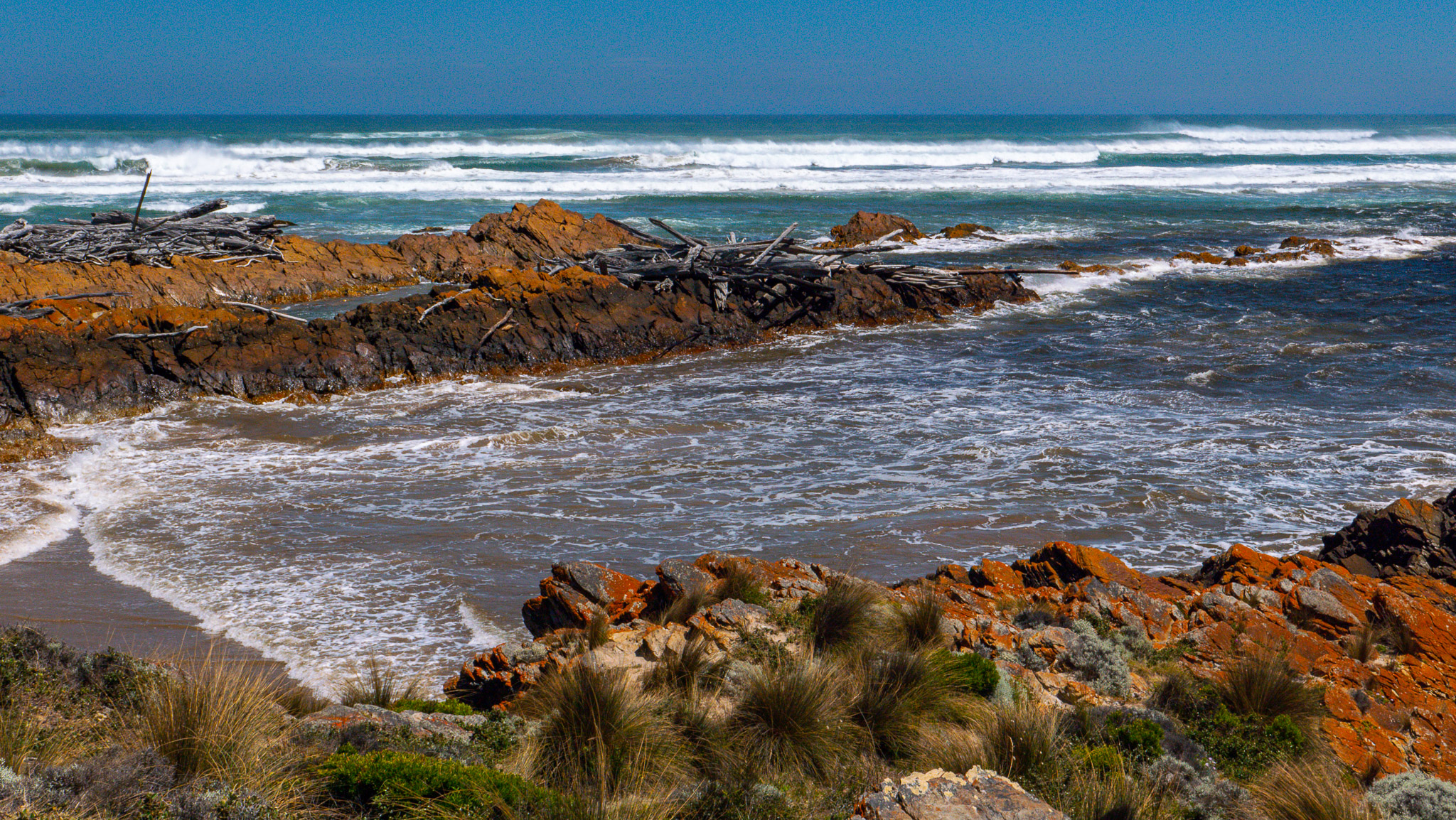
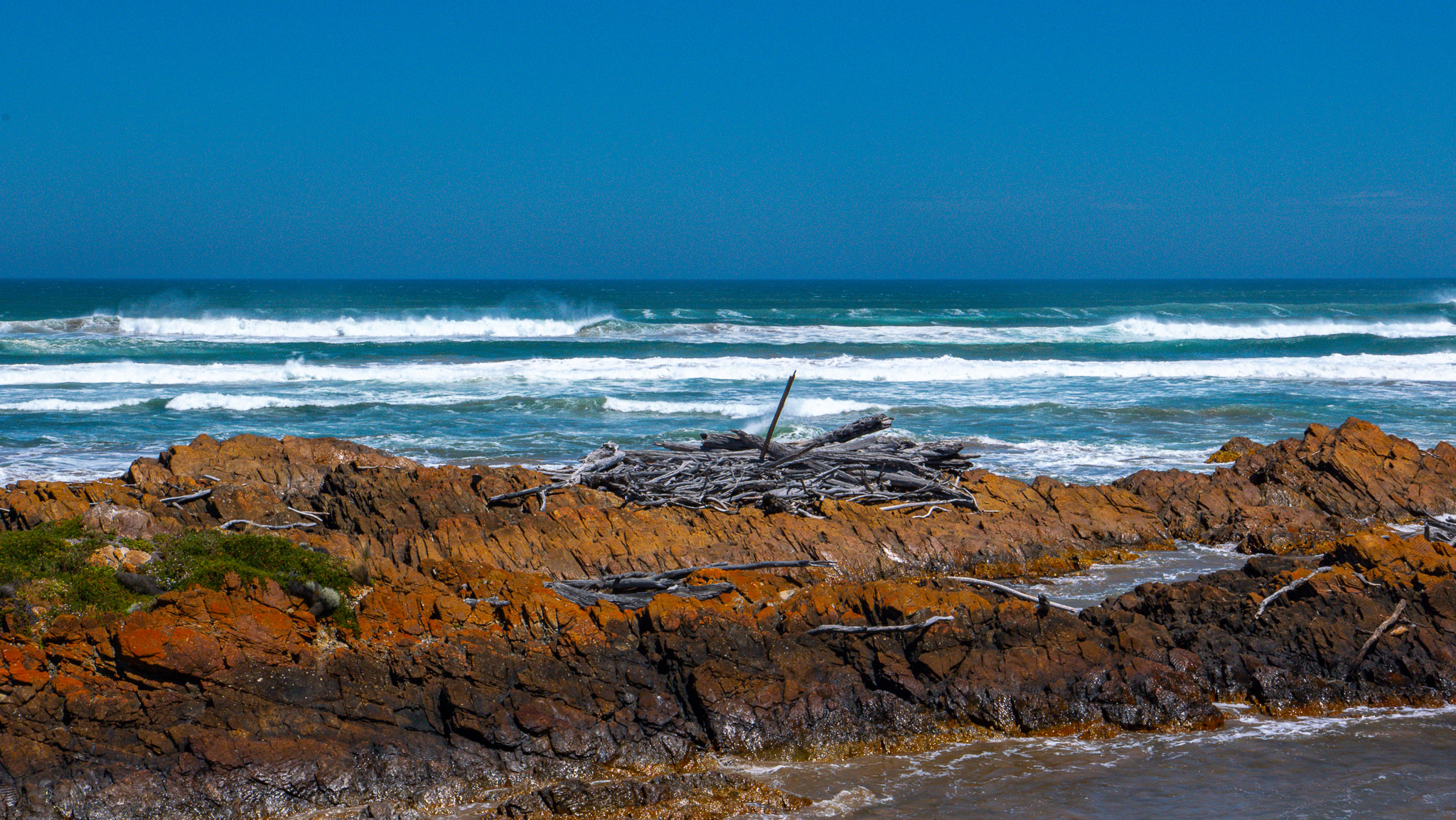
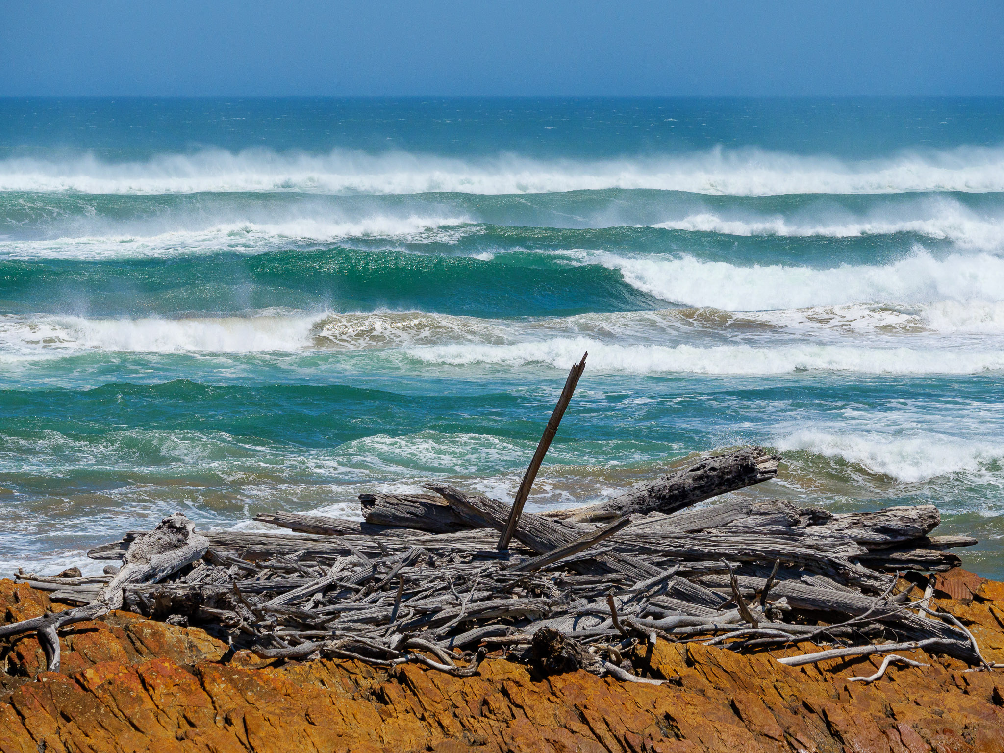
Couta Rocks, a tiny fishing village, has a population of 7 and is located in the middle of the Western wilderness along a very rugged coastline. All around, we could see that there are so many areas to explore on foot or with a 4×4. I can only imagine how difficult it must be to live in this part of the world. Even in the middle of the summer, it was rather cool because of incredibly strong winds. We could hardly stand straight and it was even challenging to take photos. No wonder this part of the world is considered having some of the cleanest air!
Aerial view of Couta Rocks (stock footage)
The colors were so brilliant that the ocean was deep jade. The photos did a good job to capture the beauty of the area – but you have to be there to really experience it all!
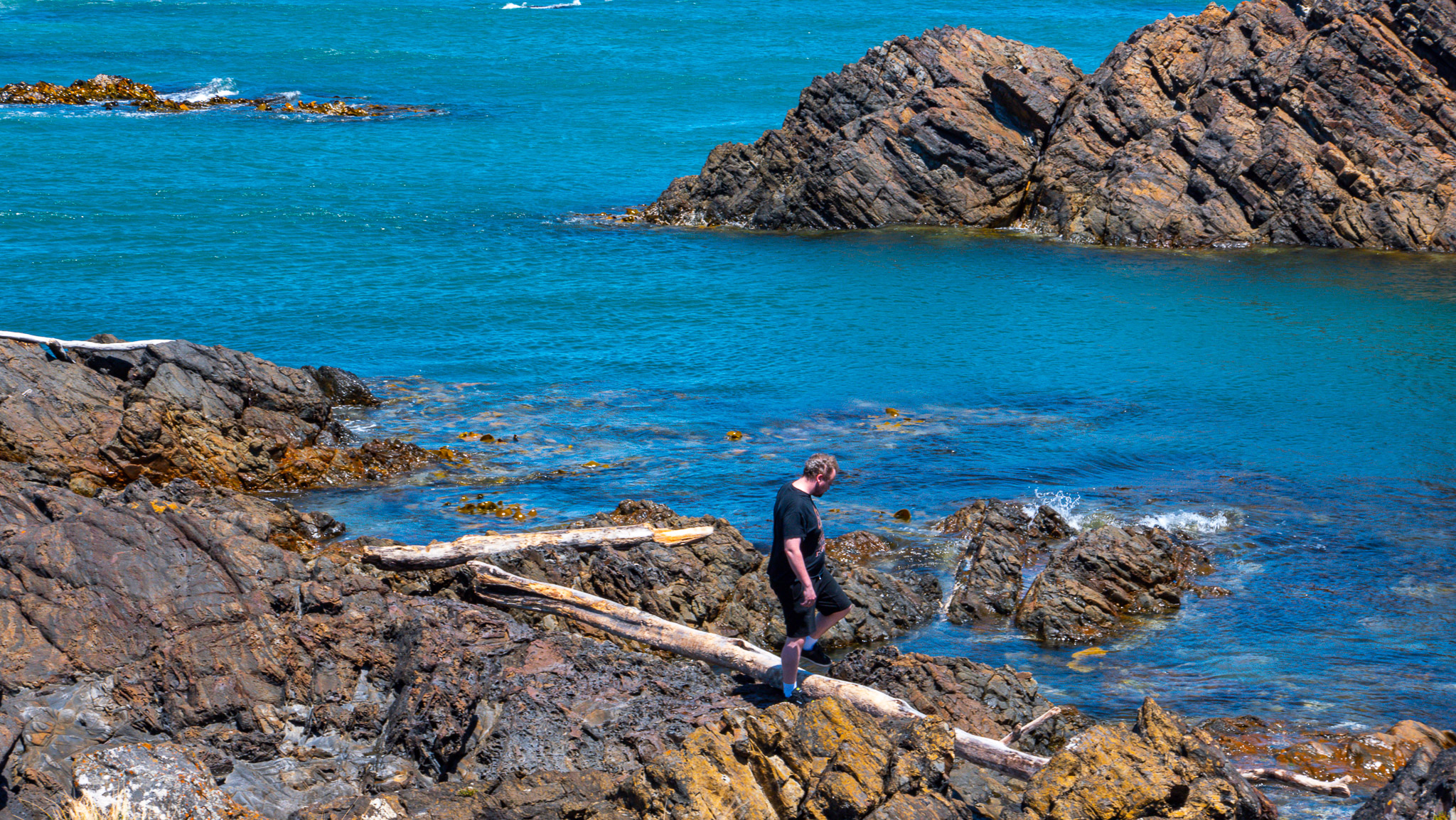
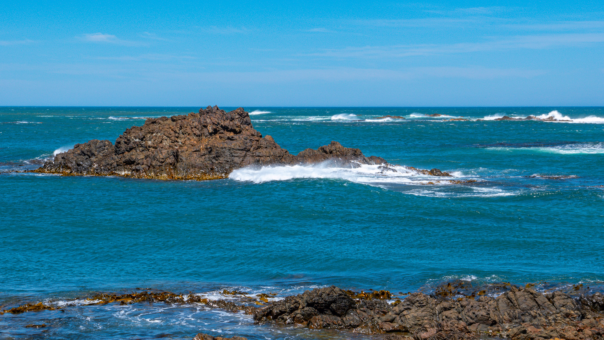
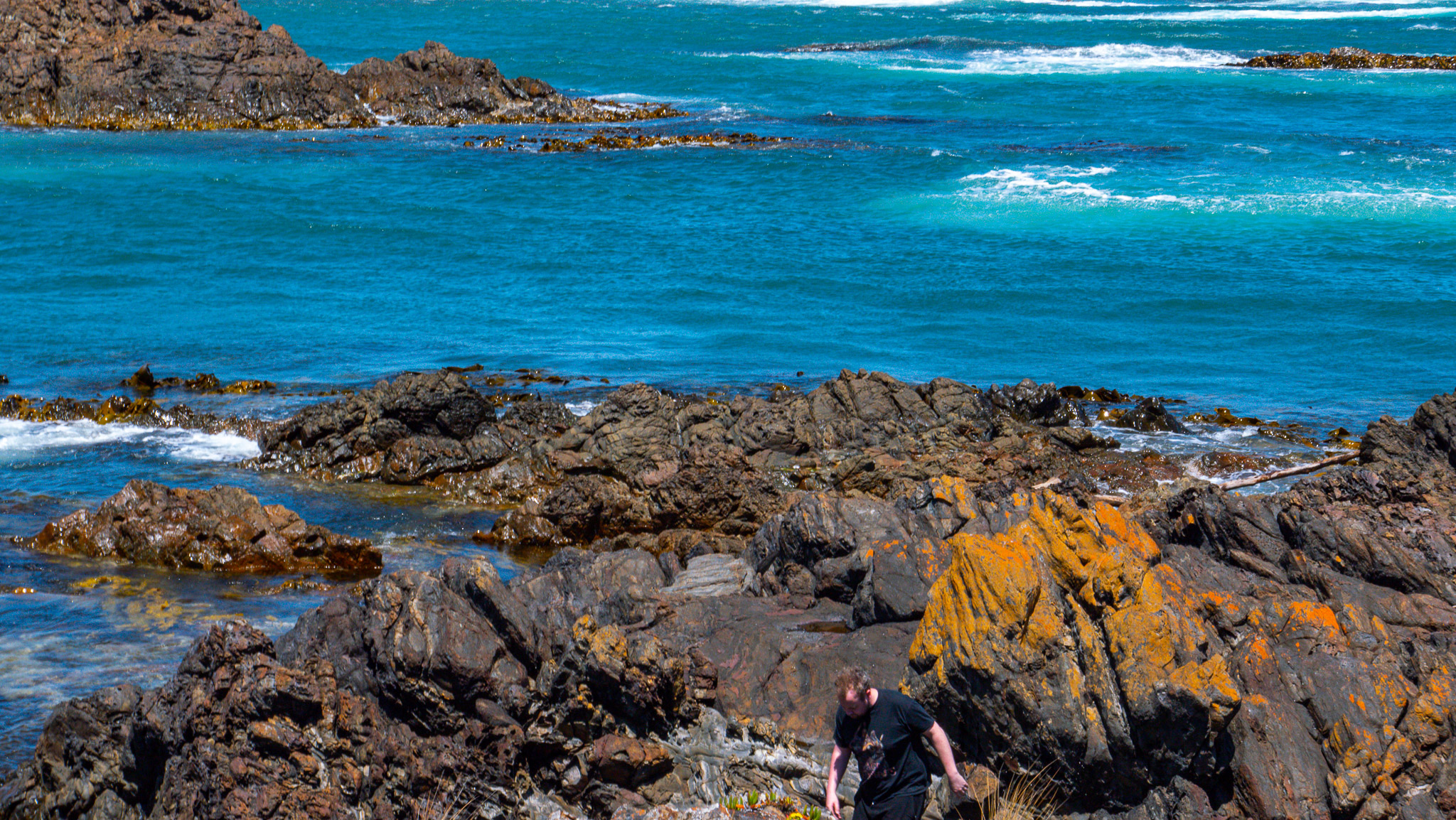
Photo gallery of Couta Rocks
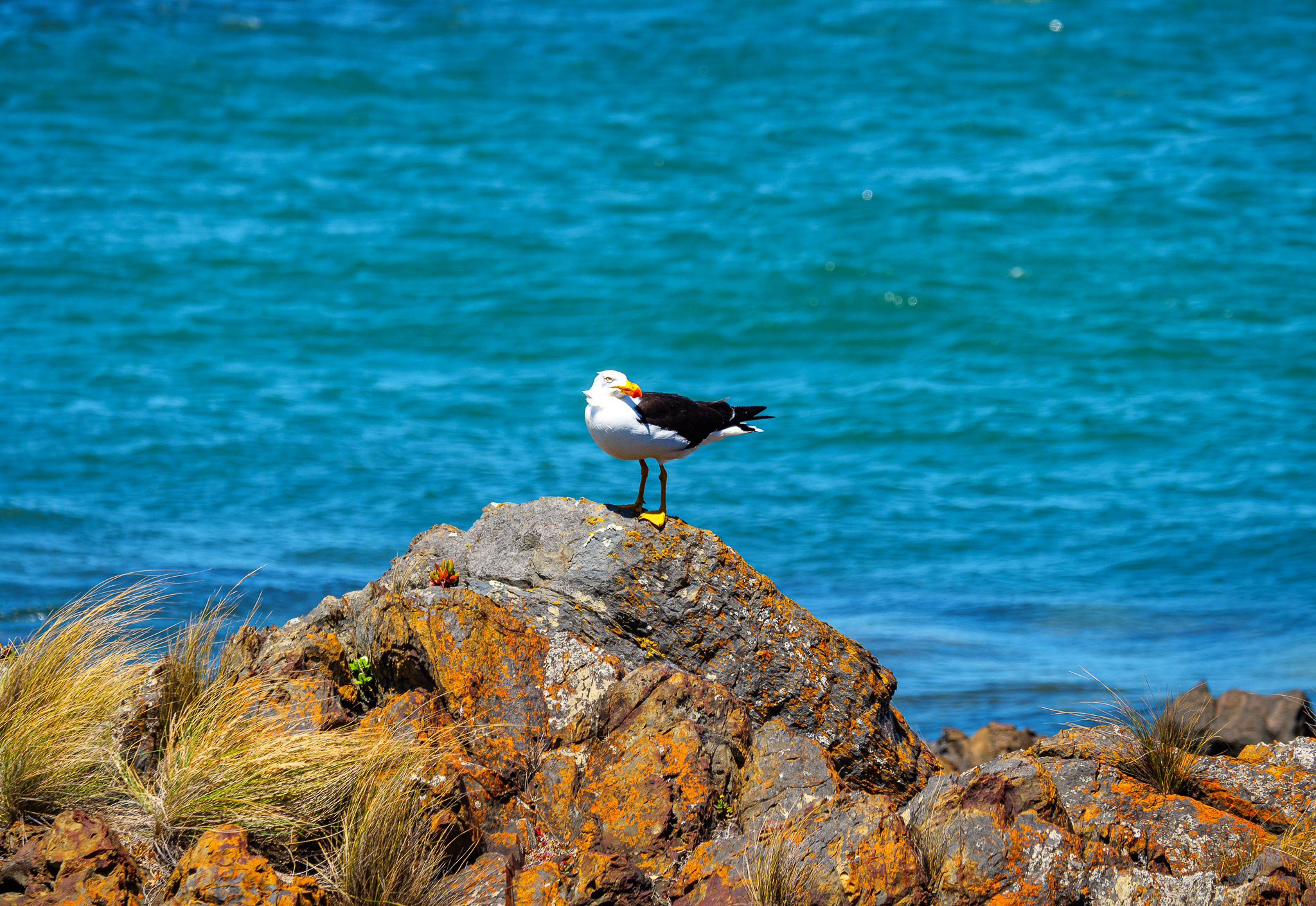
A close-up photo of a seagull, far away on an outcrop, taken by Jim
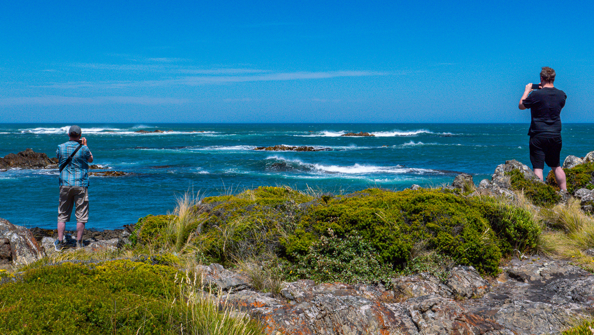
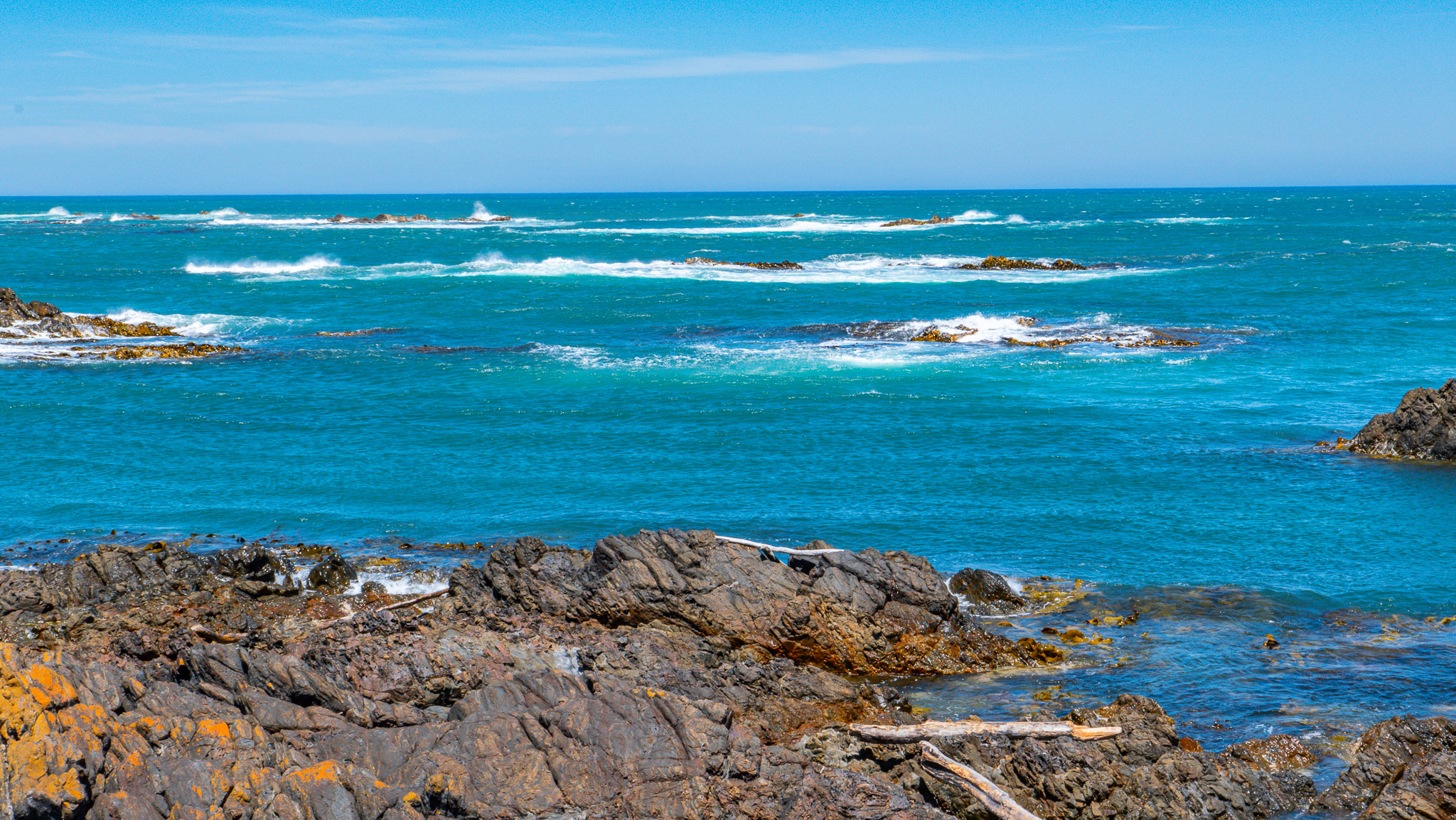
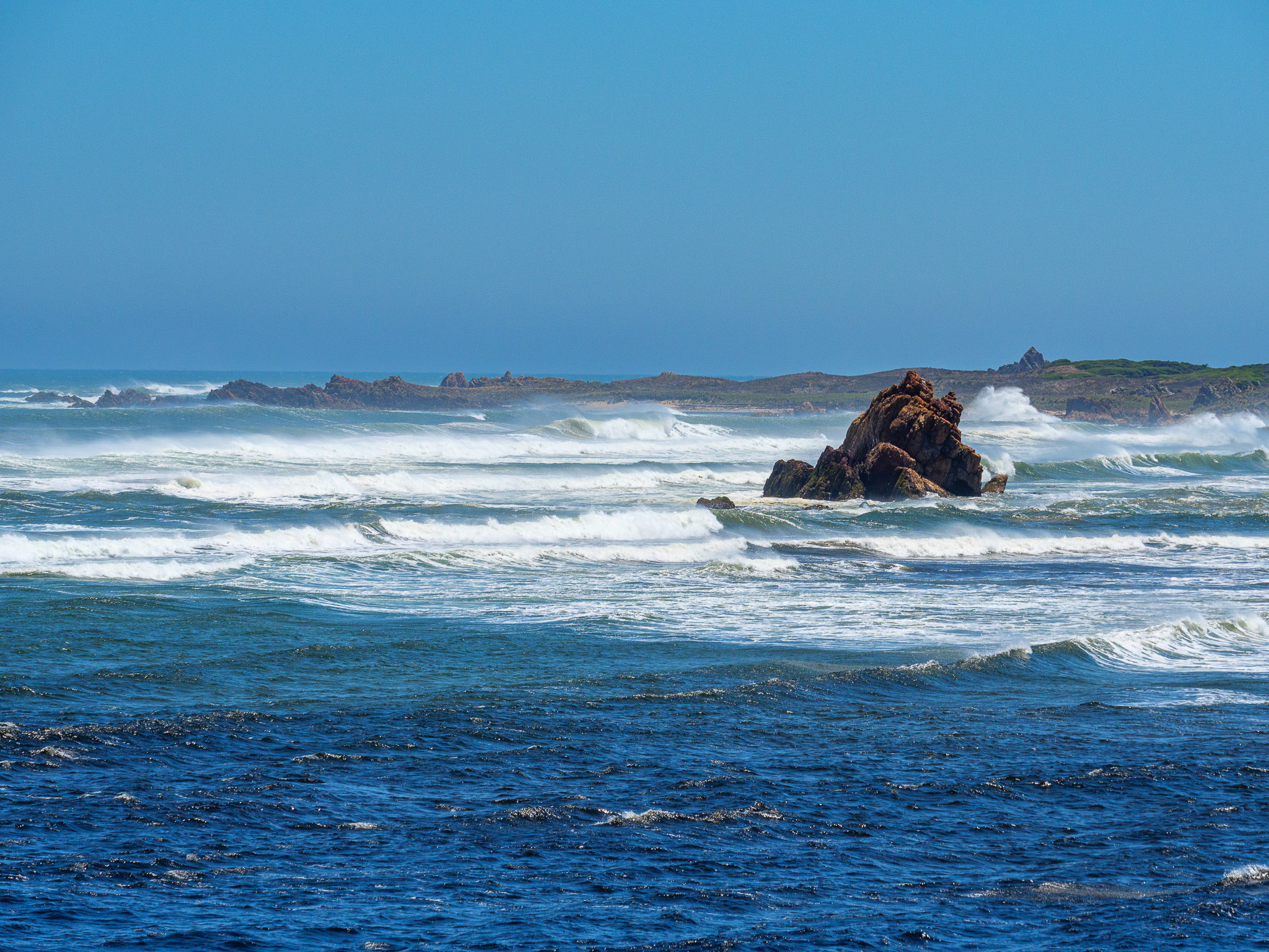
Arthur River, the Edge of the World
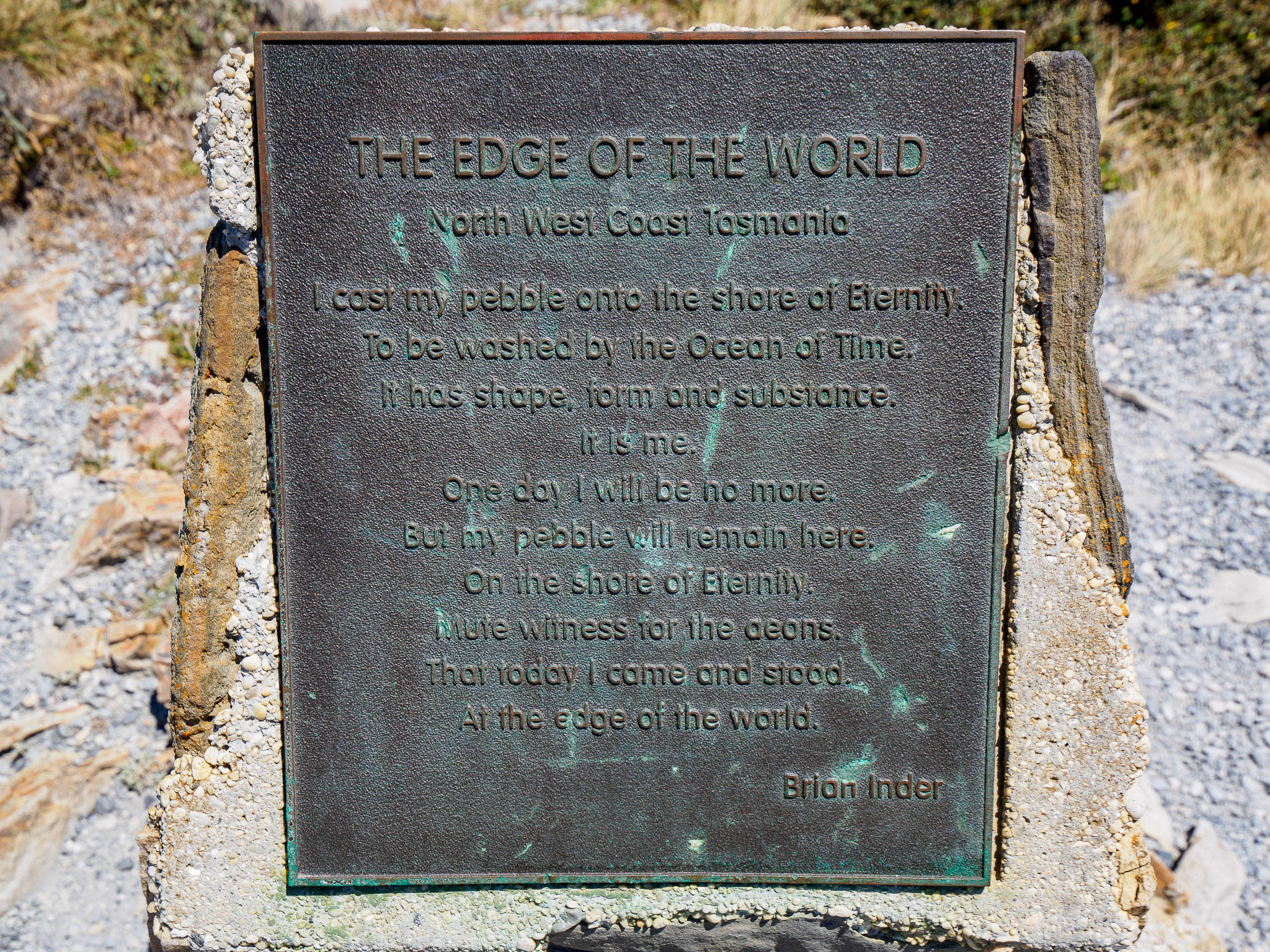
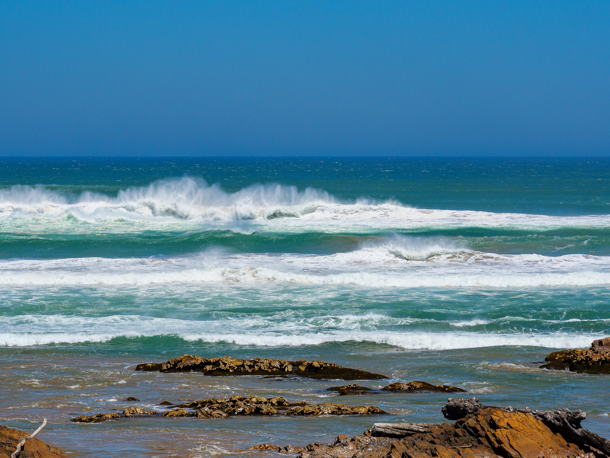
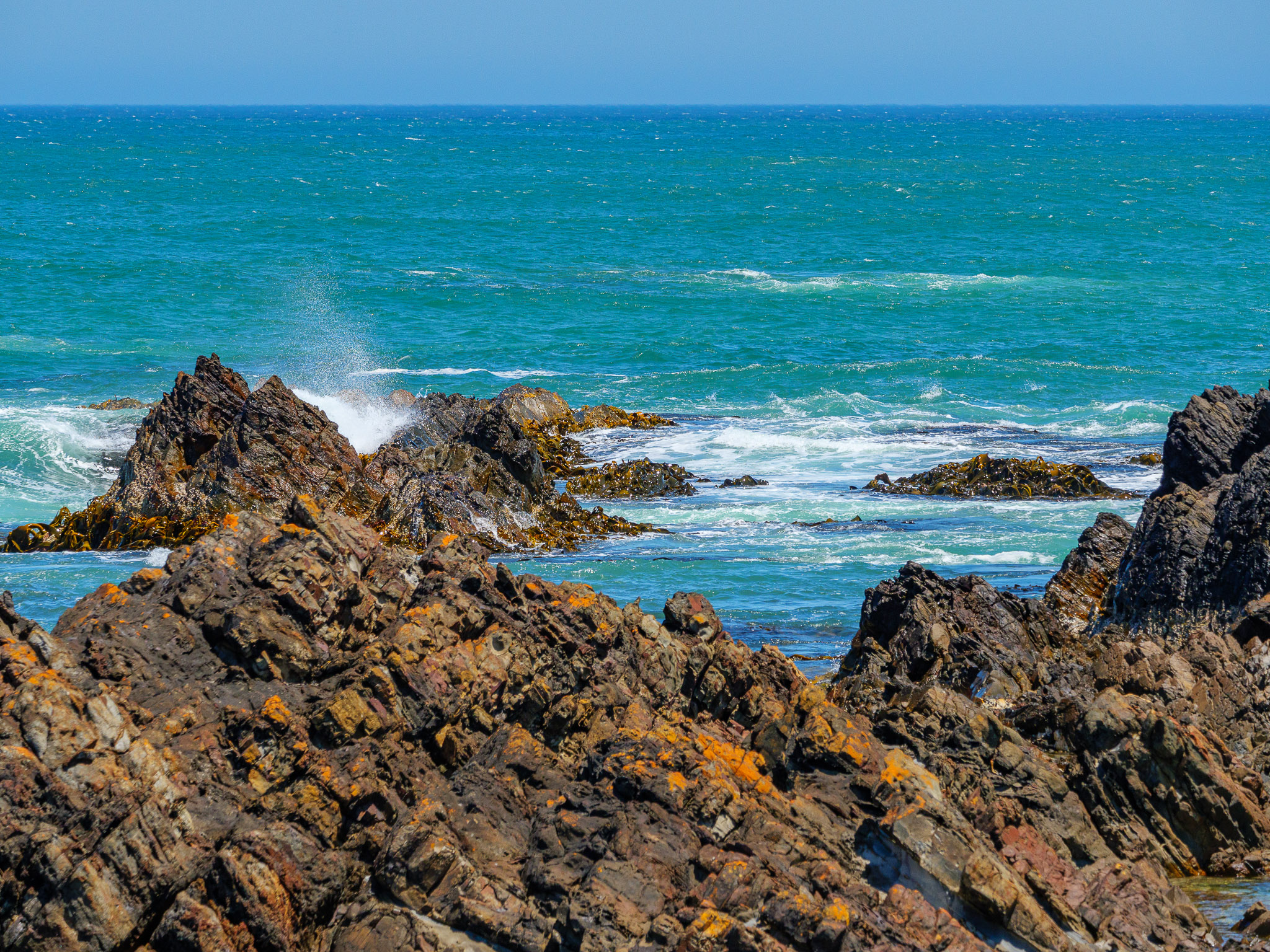
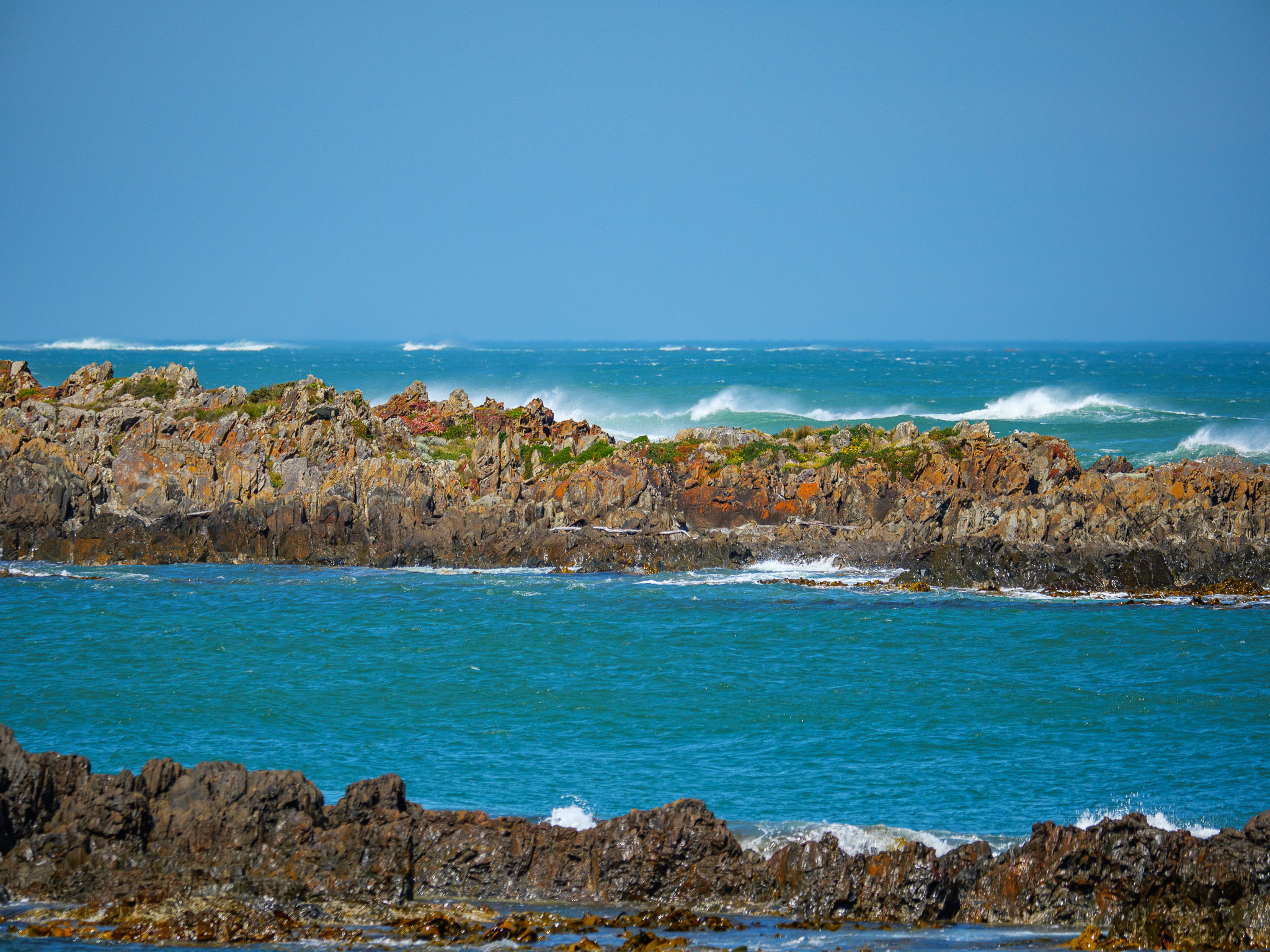
Our next stop was Arthur River where there is a national preserve called the Edge of the World. The views from the outlooks were stunning. The brilliant colors of the ocean and the rocks made for some beautiful photos.
The plaque (see below photo to the left) commemorates the Edge of The World National Preserve.
Front Inscription The Edge of The World North West Coast Tasmania
“I cast my pebble onto the shore of Eternity. To be washed by the Ocean of Time. It has shape, form, and substance. It is me. One day I will be no more. But my pebble will remain here. On the shore of eternity. Mute witness from the aeons. That today I came and stood At the edge of the world.”
by Brian Inder
From the Edge of the World site, looking directly west, the line of sight continues far beyond the horizon. While this point isn’t the westernmost of Tasmania, it is a point where if our sight had no physical limit, we would eventually land on the eastern coast of Argentina, all the way around the globe. This expanse of sea is known as the furthest-reaching stretch of ocean on the globe.
Photo gallery of the Edge of the World (like at Couta Rocks, you can see the brilliant colors of red and deep jade)
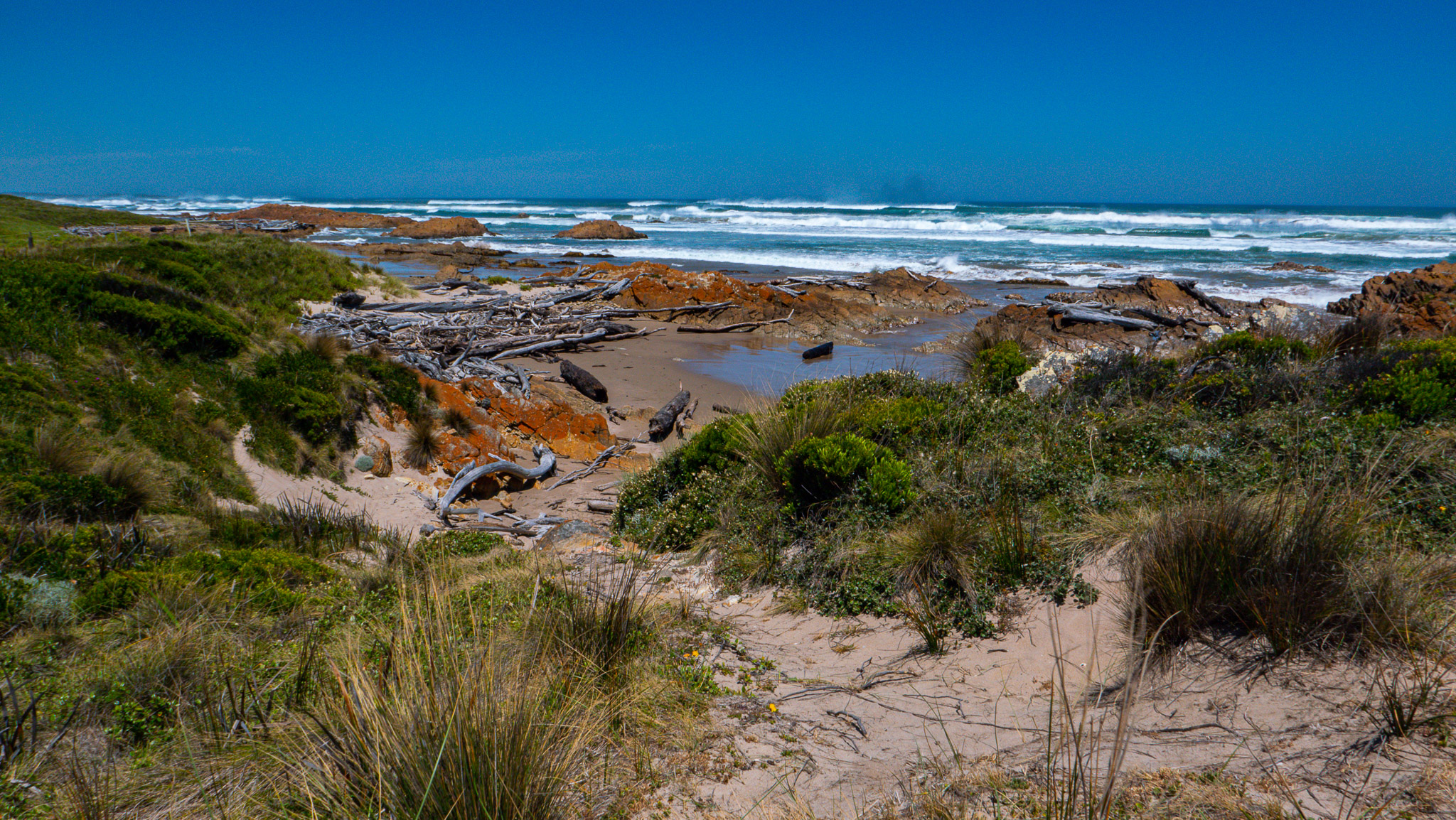
After spending some time at this amazingly beautiful sight, we left Arthur River. On the road, we took some photos of the residents’ houses that had some interesting characteristics as can be seen on the photos here.
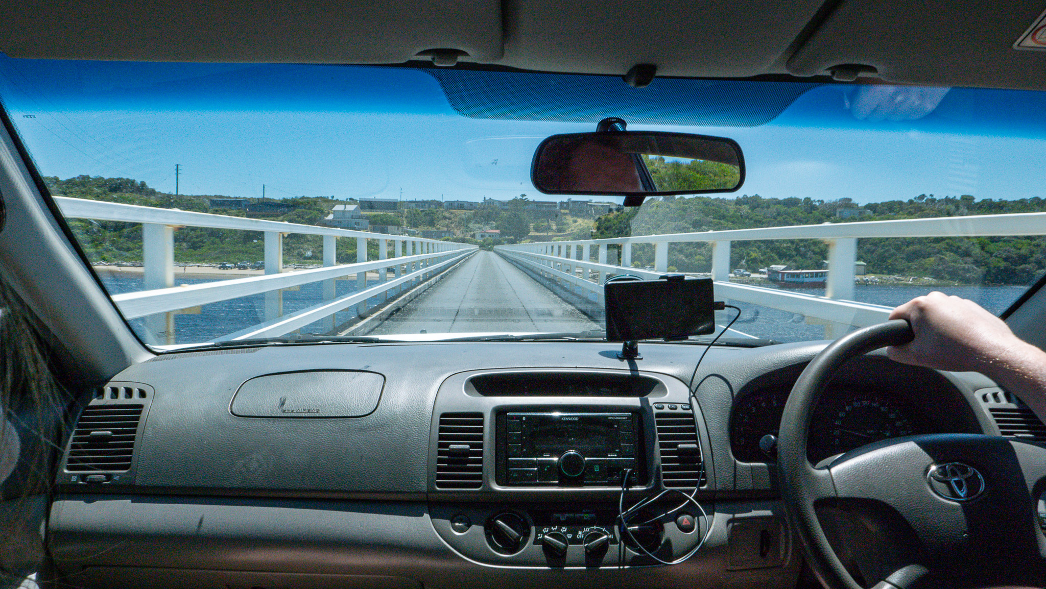
We crossed the Arthur River bridge, heading toward Marrawah, a small town and the only place to get gas between Corinna and Stanley. You cannot miss filling up your car at Marrawah or you’ll run out of gas for sure!
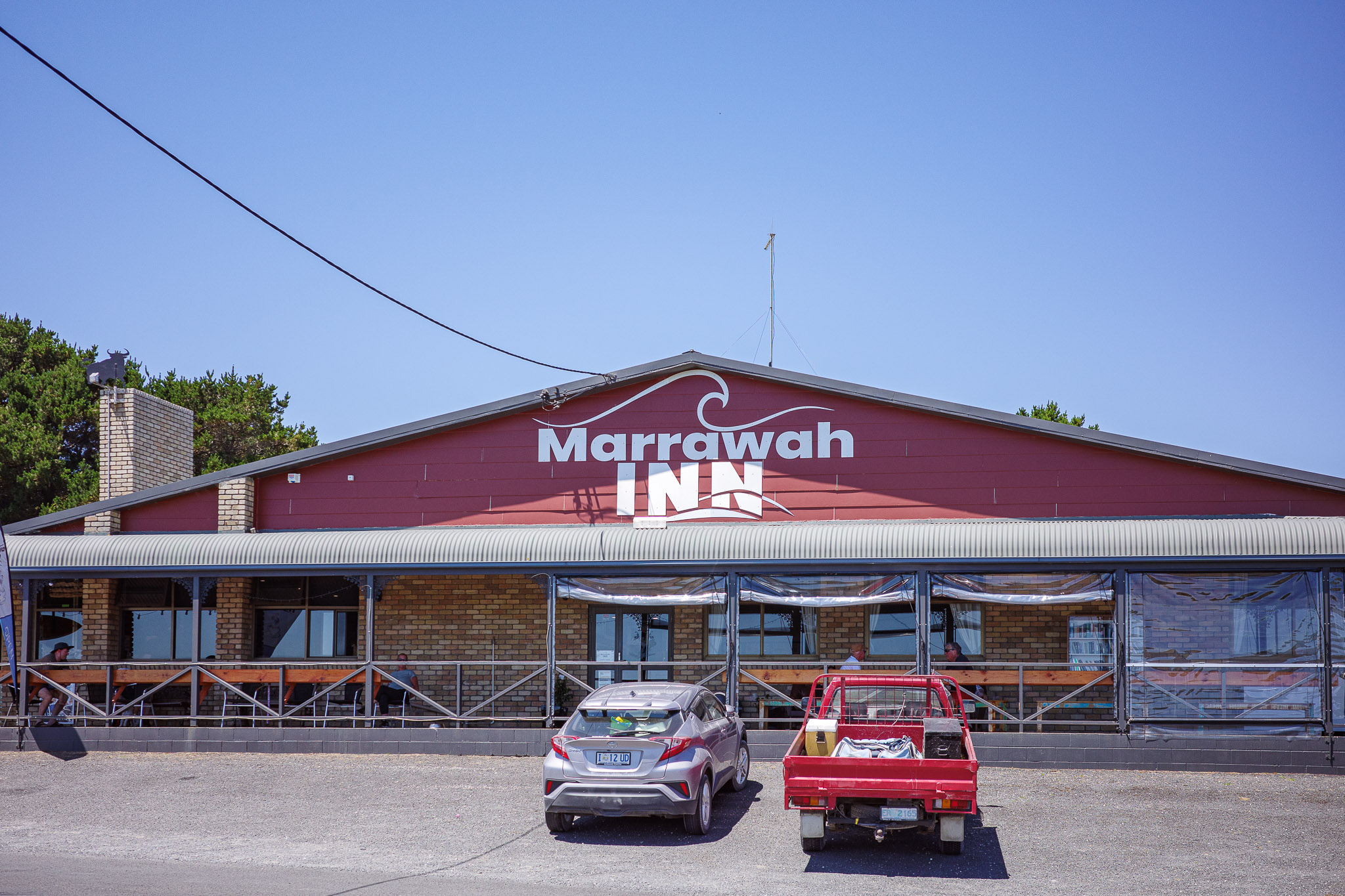
Gas and Lunch Stop at Marrawah
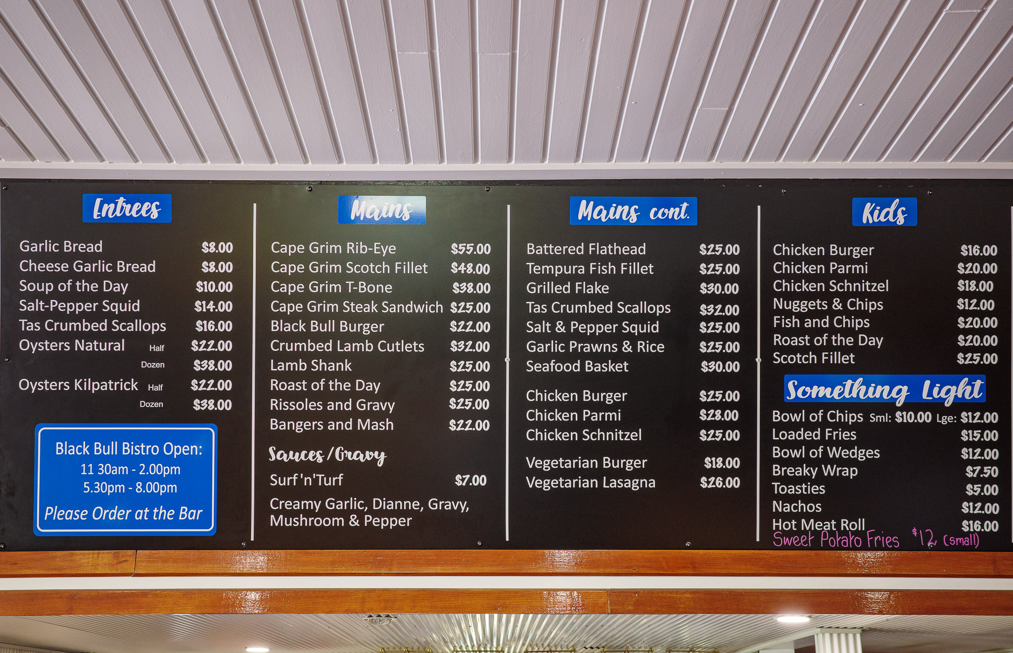
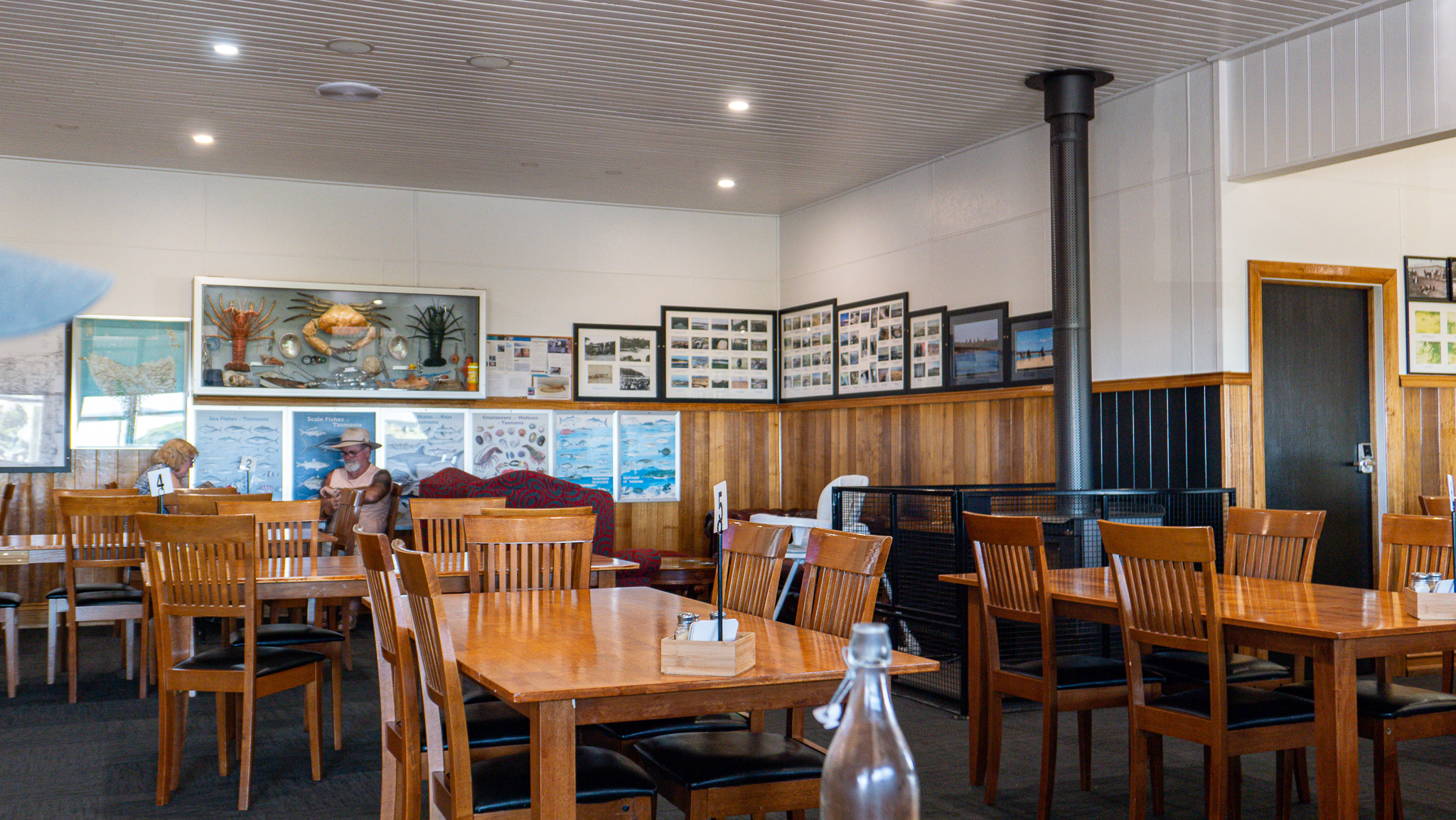
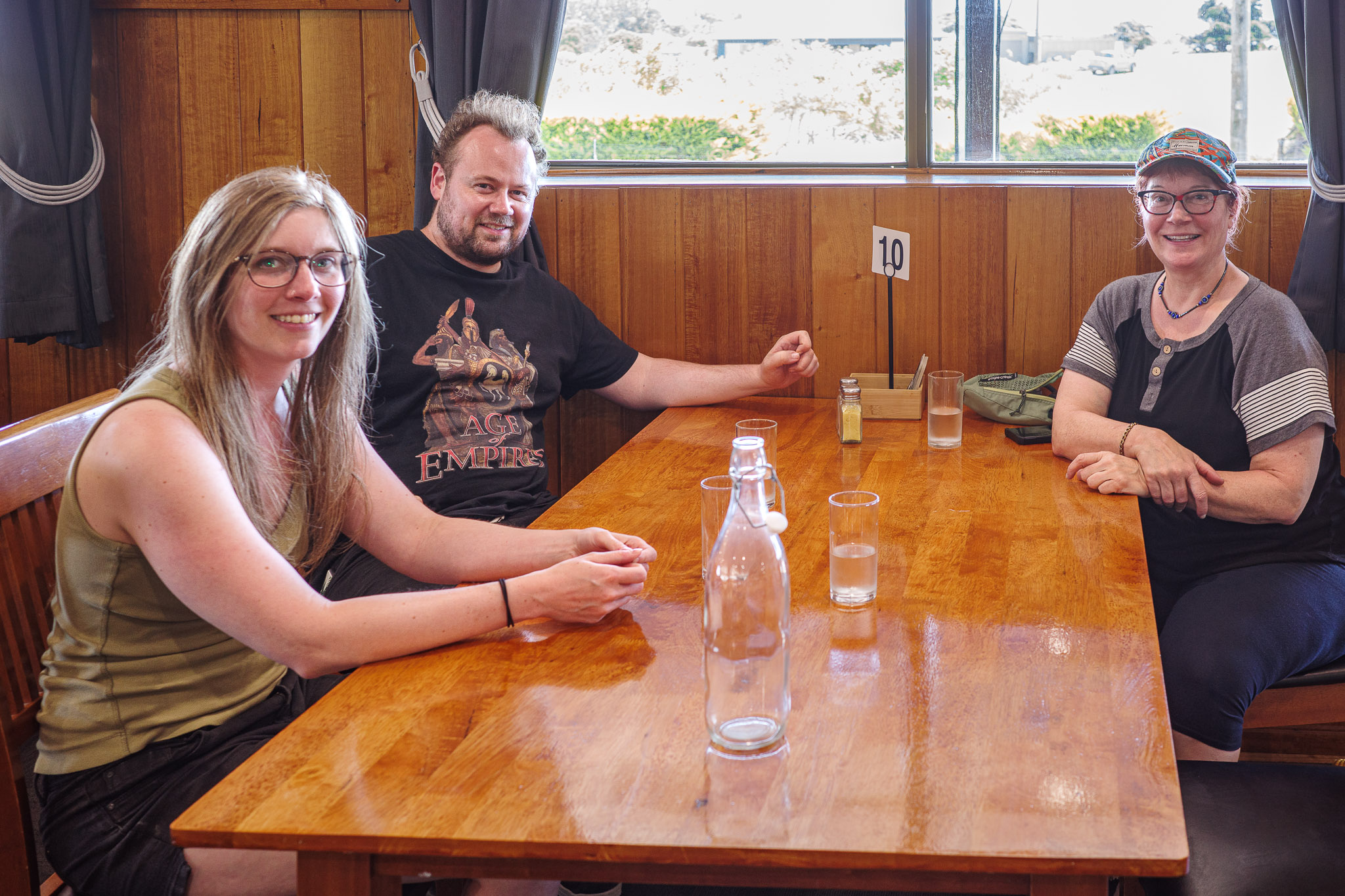
We made it to Marrawah just before 2:00pm. First, we got gas at the only gas station since Corinna (lots of warning signs to fill up before going anywhere!). For lunch we stopped at the Marrawah Inn/Black Bull Bistro, a very traditional Aussie eatery facility: bar, pub, restaurant, all in one.
Our lunch was copious and OK (didn’t like mine as it was way too creamy but nibbled on French Fries and chicken schnitzel).
On the Way to Stanley
After the beautiful coastal drive (part of the scenic Tarkine Drive), we drove through very rich farmlands with cattle, mainly cows. The area is known as one of the best in Australia for beef. It was interesting to see how the houses and farms were often surrounded by very thick and tall hedges to protect against the gale-force winds (called the Roaring Forties) from the ocean. We did get a small taste of what the winds could be – even though it was summertime.
On the photo, you can see the way the hedges are planted to protect the homes and crops (stock photo)
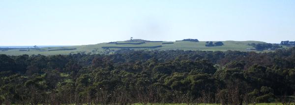
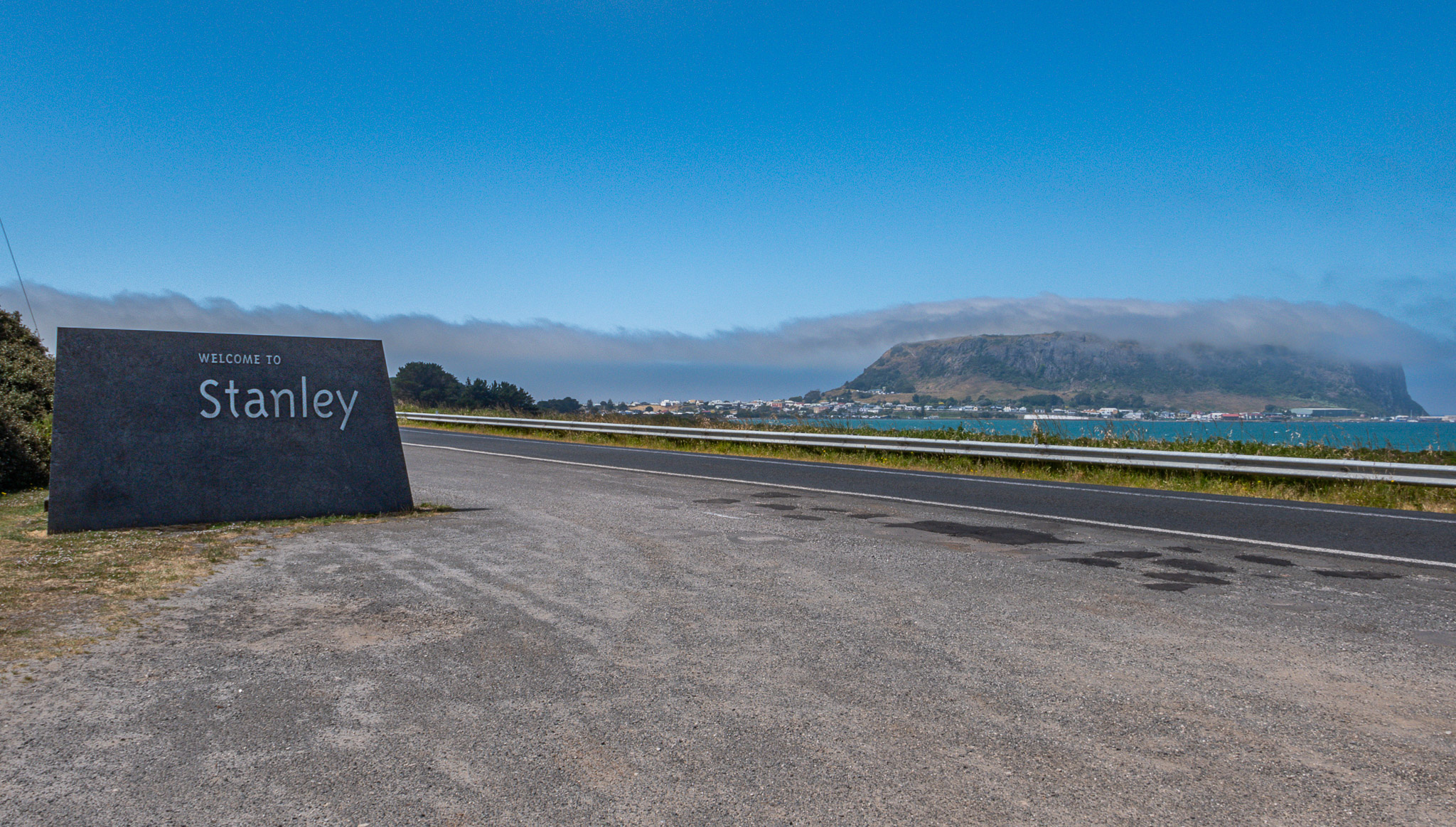
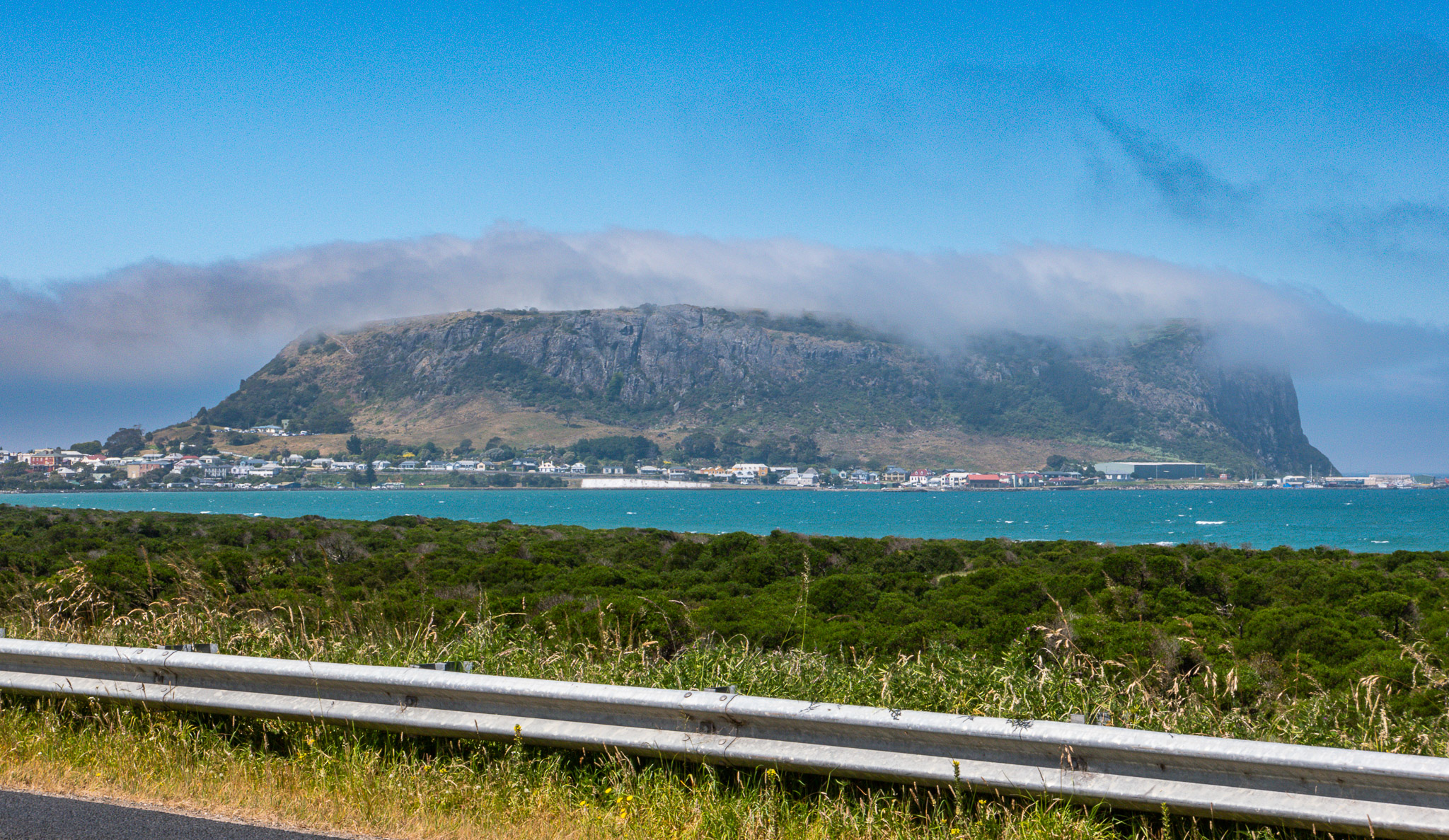
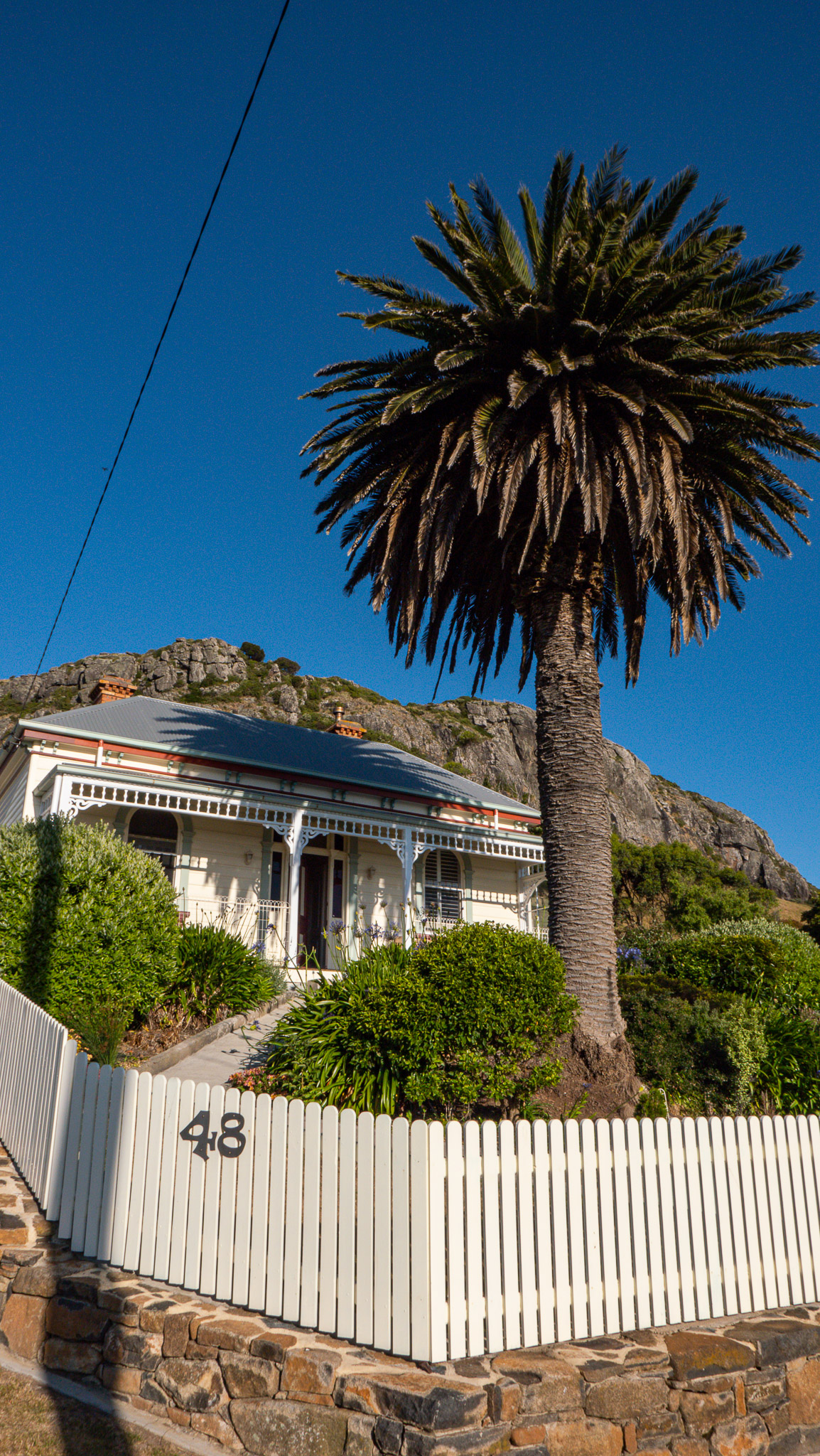
It was quite a sight to see the Nut (volcanic rock formation) as we were arriving in Stanley. There was a ring of dark clouds hanging around the Nut, which eventually dissipated. It made for some interesting photos.
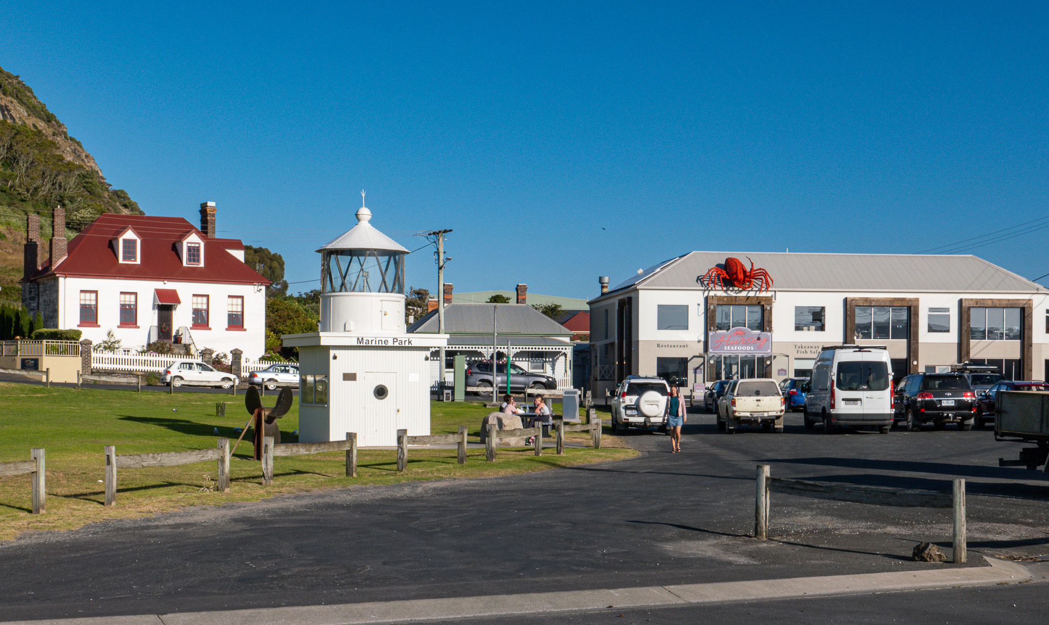
In Stanley
After a very full day of beautiful sights, here we were. In Stanley. It was windy and chilly but the sun was shining.
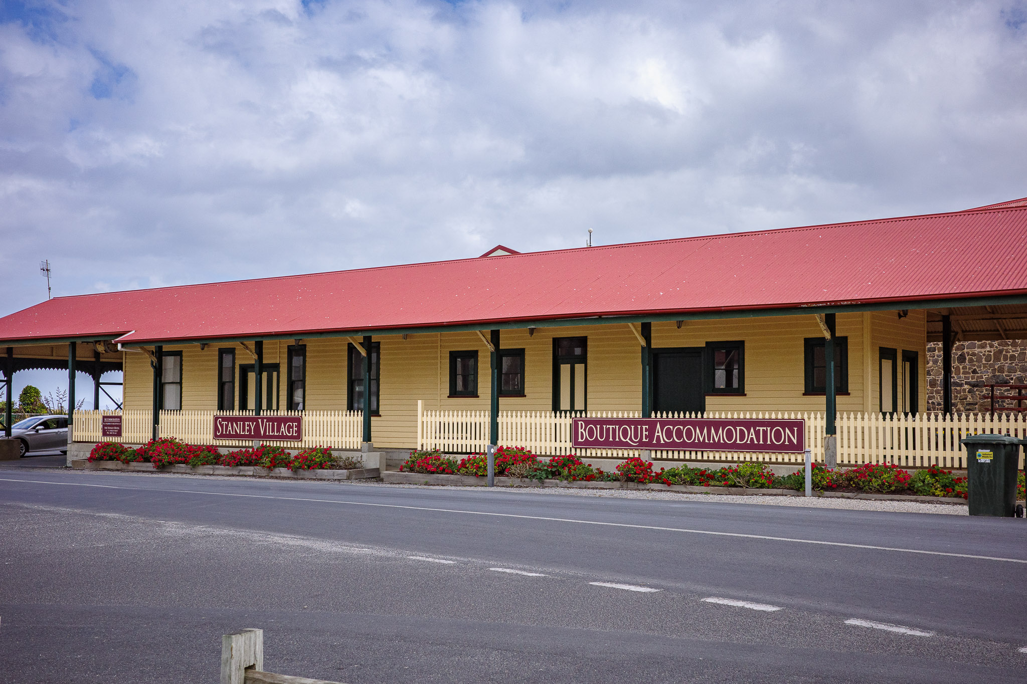
We crossed the town toward our lodging called the Stanley Village, right at the foothills of the Nut and on the wharf. At the Village, we learned that we had to get our room keys from the Stanley Hotel (on the main road) which also operates the Stanley Village.
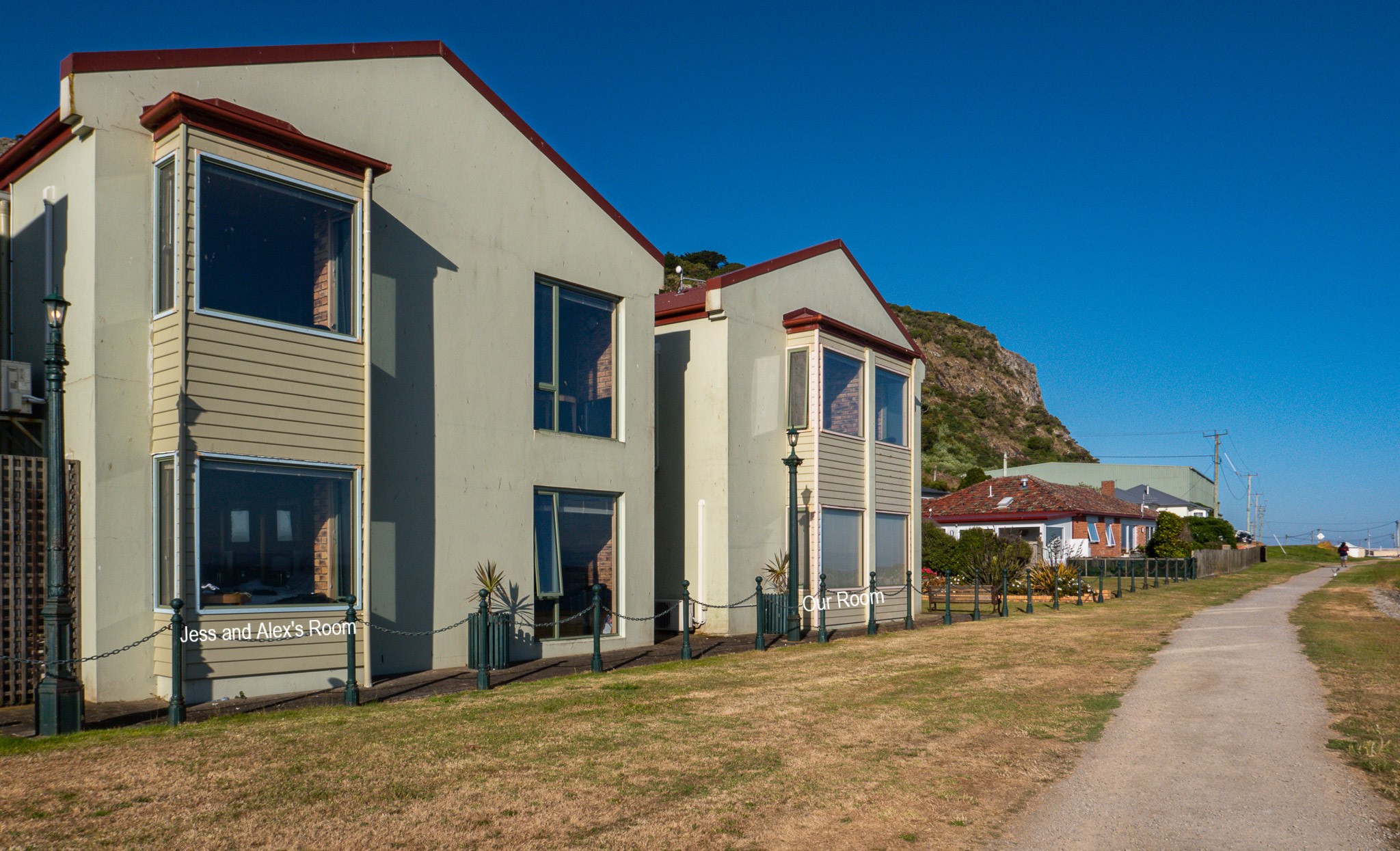
The Stanley Village where we stayed
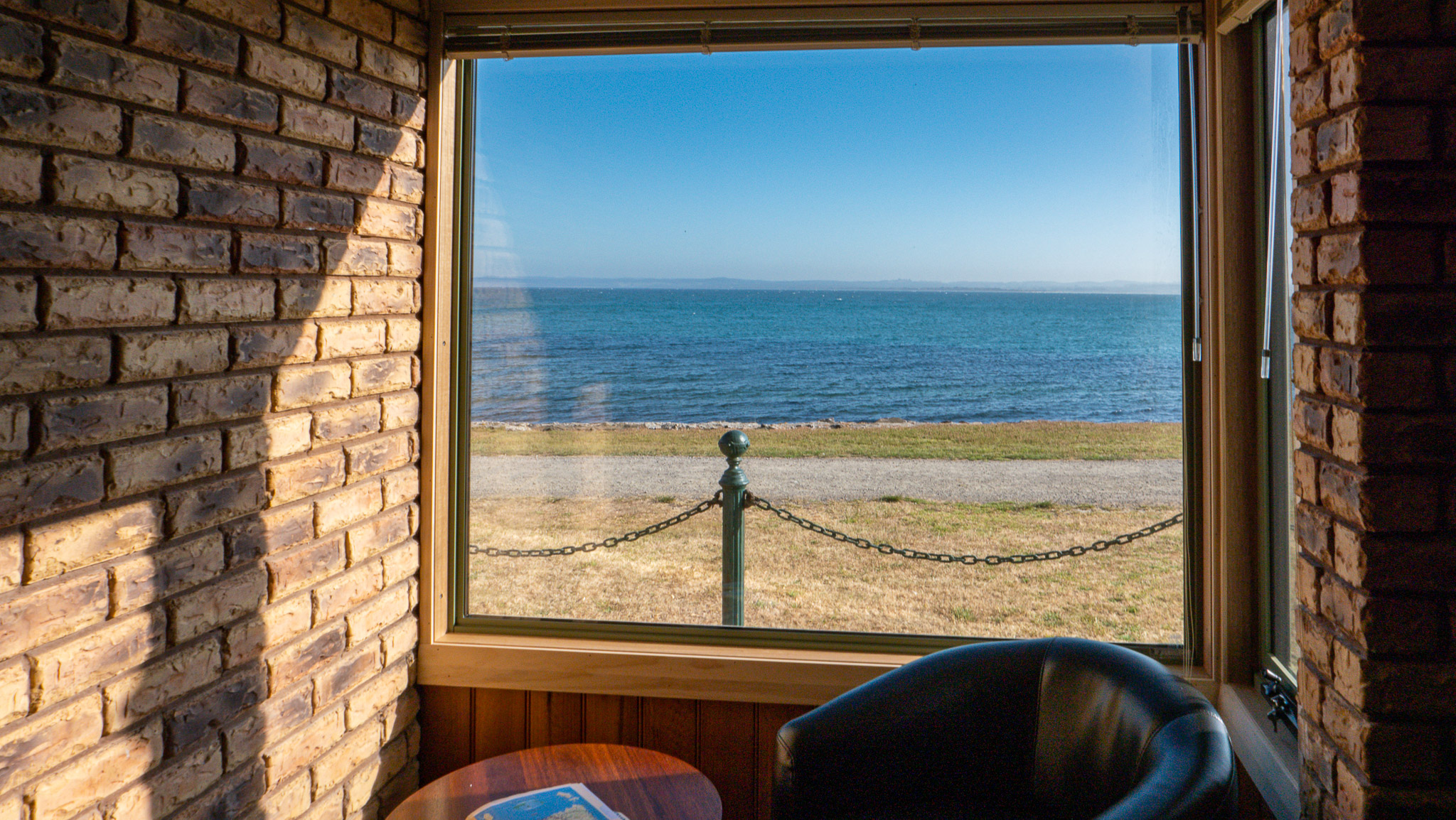
Beautiful views of the ocean from our rooms. The rooms were very comfortable.
Since we hadn’t done laundry in a few days (and were running out of clean clothes), we took advantage of the washer/dryer facility on the premise. At the same time, we took showers, downloaded photos, relaxed.
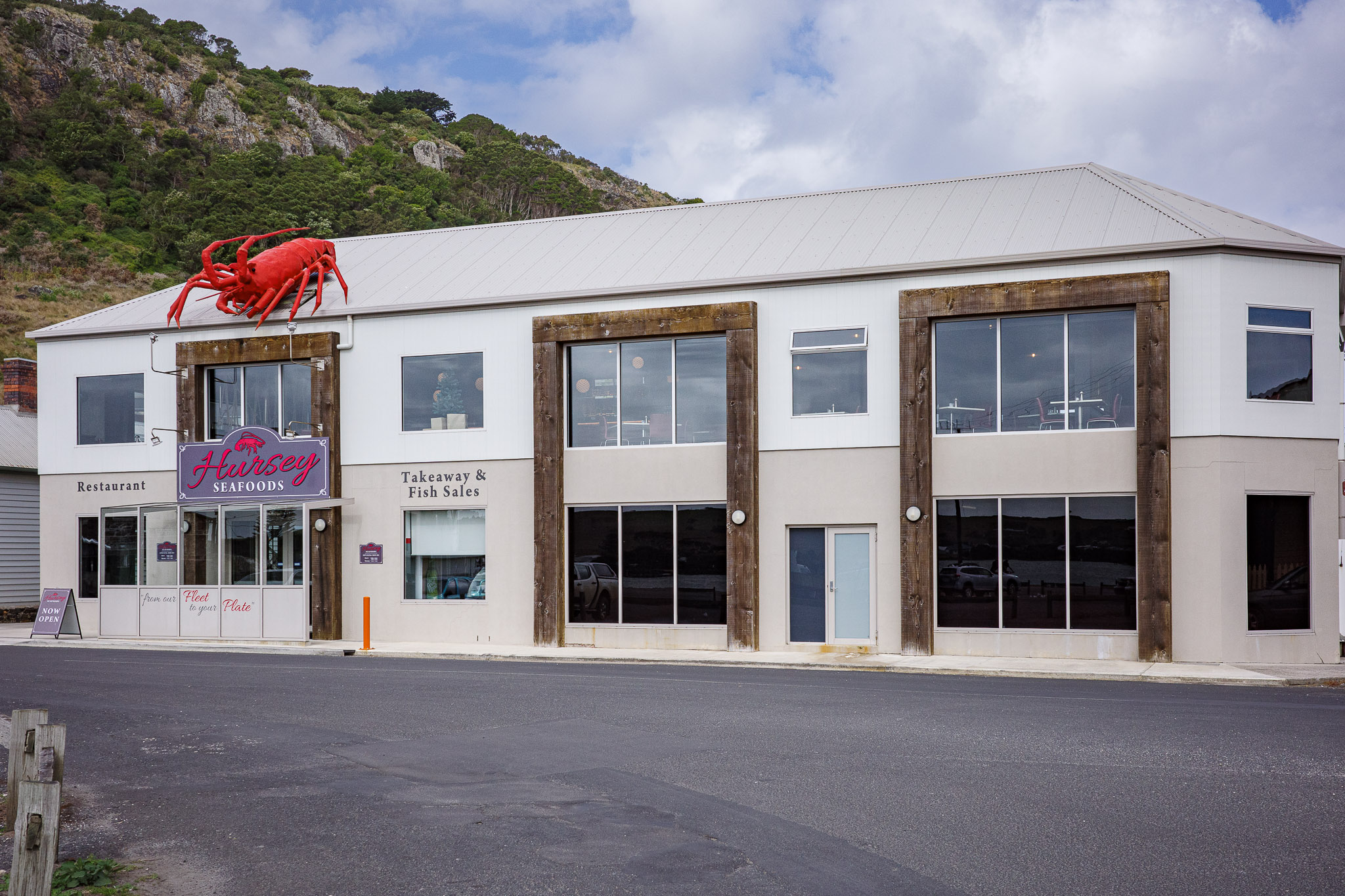
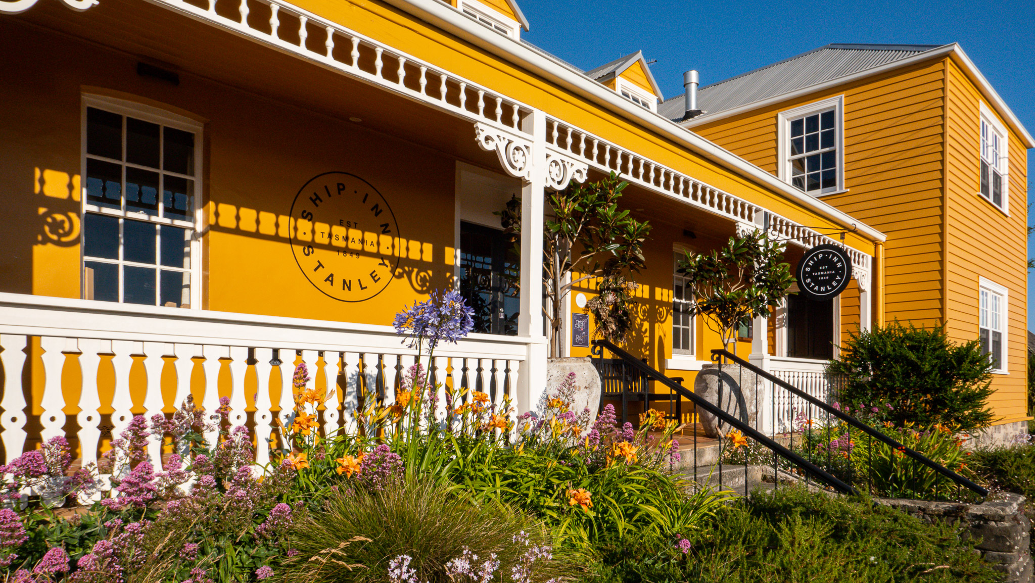
We also made reservations for dinner at the Hursey Seafoods Restaurant and we were lucky to get the last reservation for the evening, which was for 7:30pm (the restaurant was closing at 8:00pm).
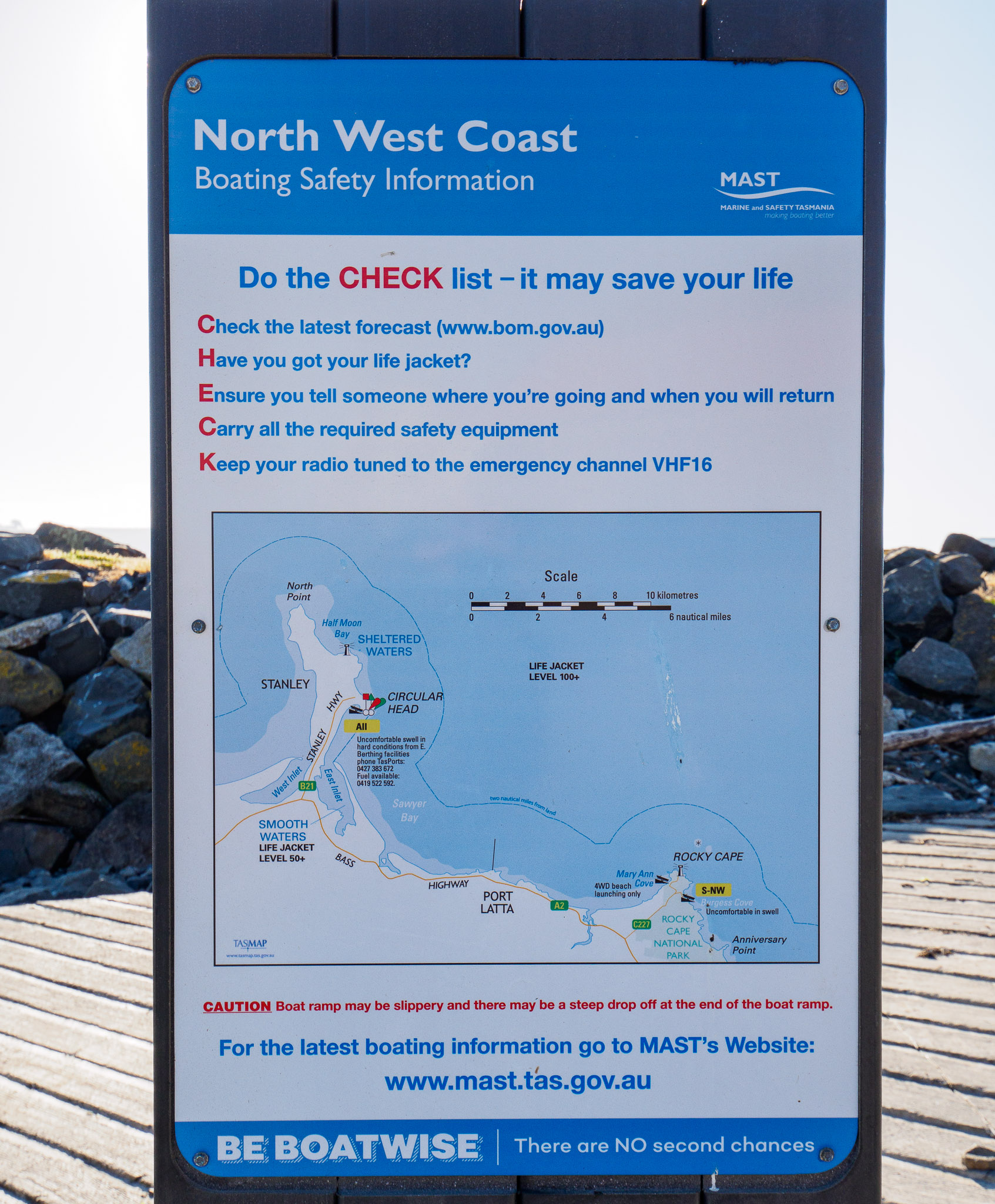
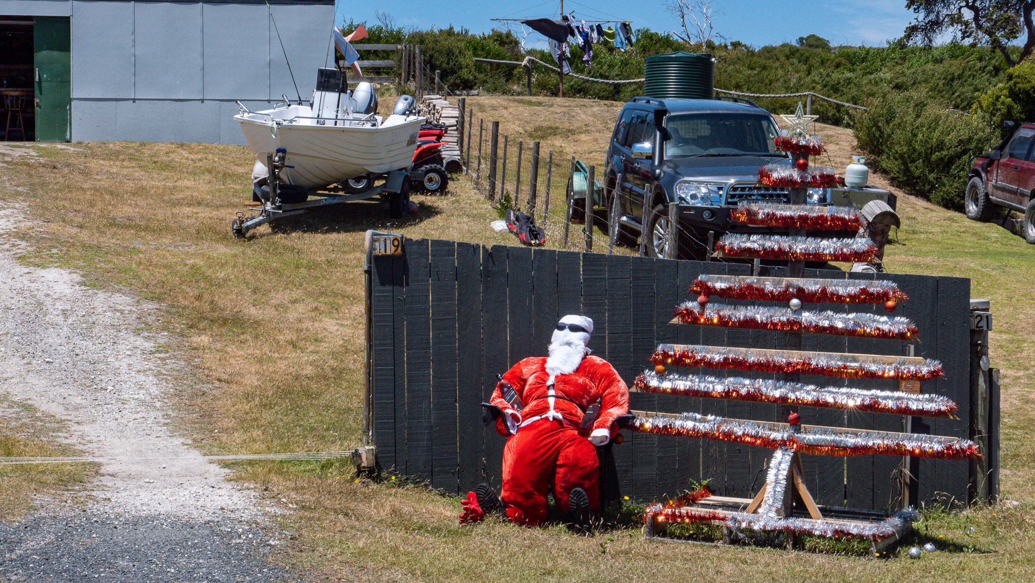
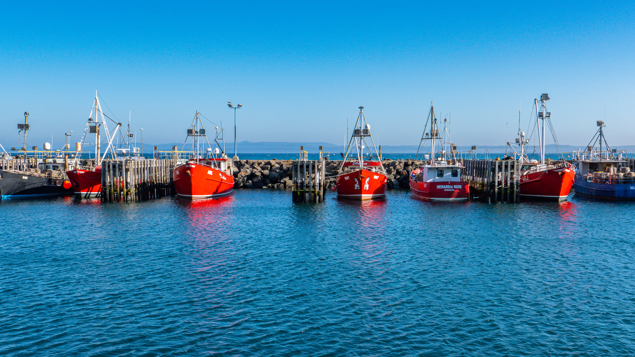
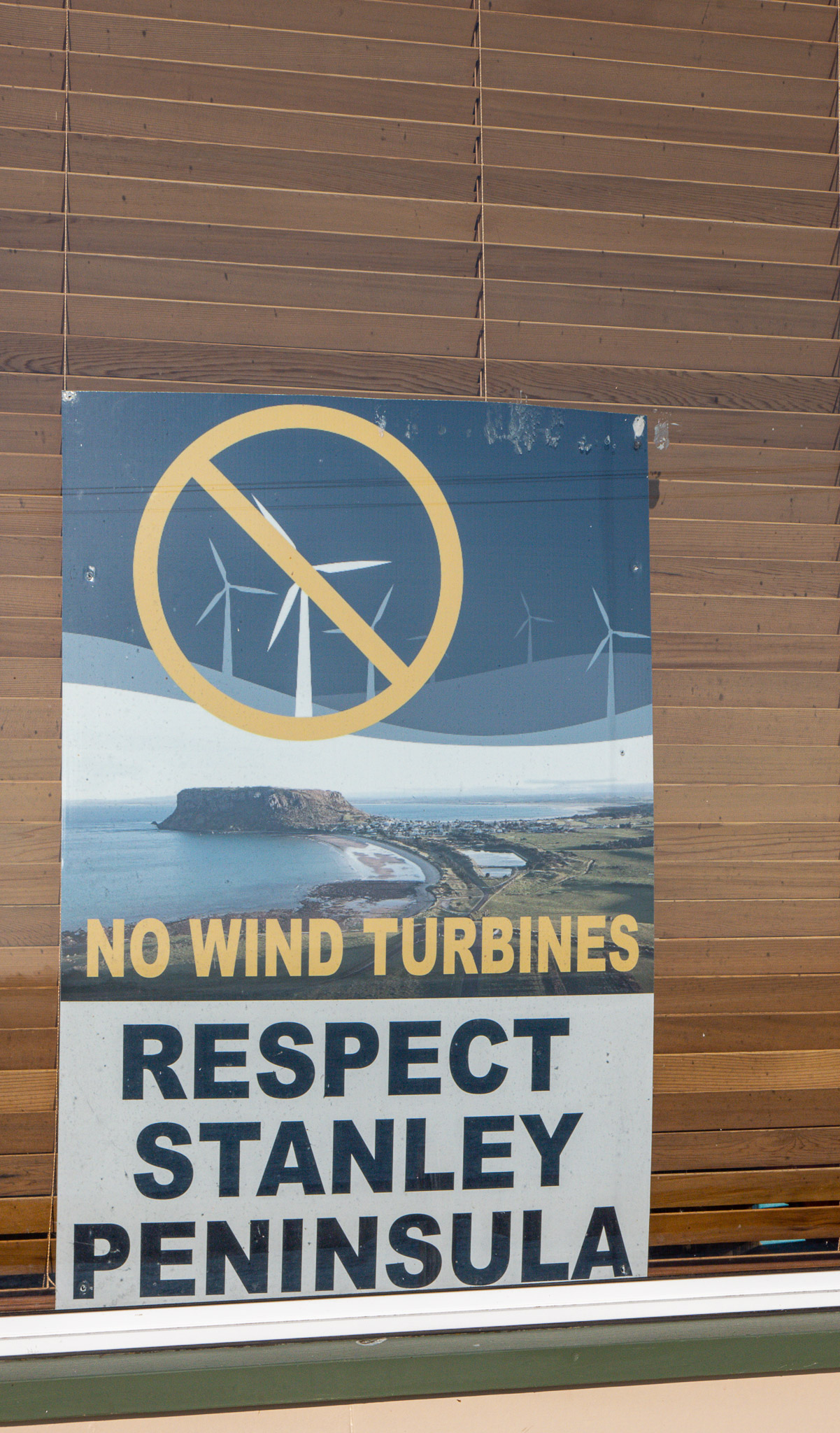
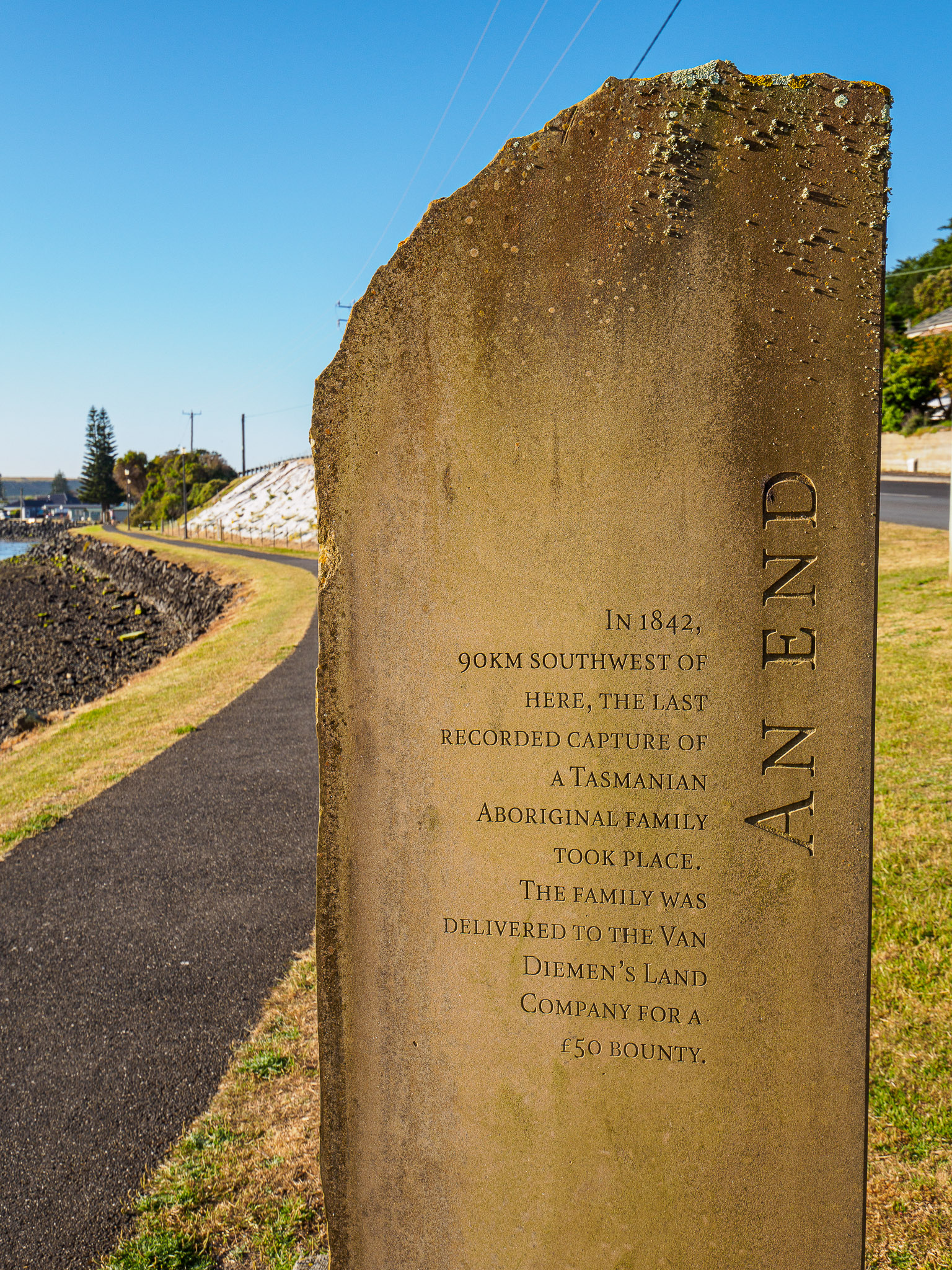
Laundry done, all cleaned up and re-energized, we had one hour before dinner, so we took a walk on the wharf up to the port and then in the small village of Stanley. Below are two interesting signs that we took when strolling in the wharf area of the town.
Currently, there is a fight to stop setting up wind turbines on the Stanley Peninsula (see below photo on the left). Nevertheless, there are already many wind turbines on the Northwestern tip of Tasmania due to these gale-force winds that are common. The other sign (below photo on the right) commemorates the last aboriginal family in Tasmania that was purchased by the Van Diemen’s Land Company. Van Diemen’s Land was the colonial name of the island of Tasmania used by the British during the European exploration of Australia in the 19th century.
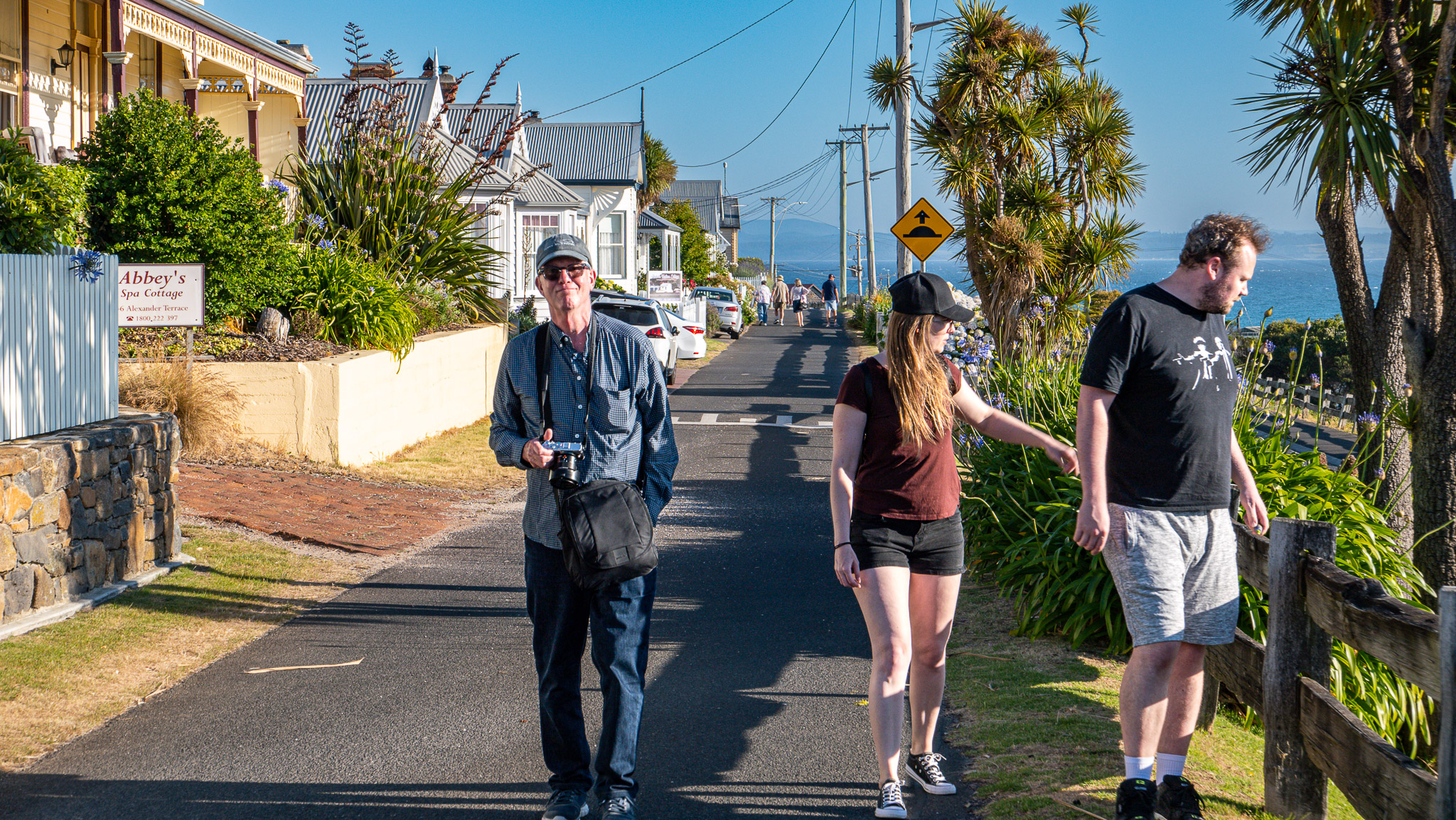
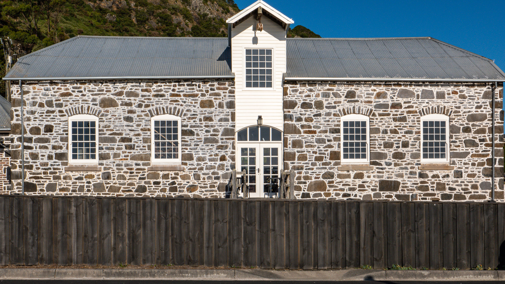
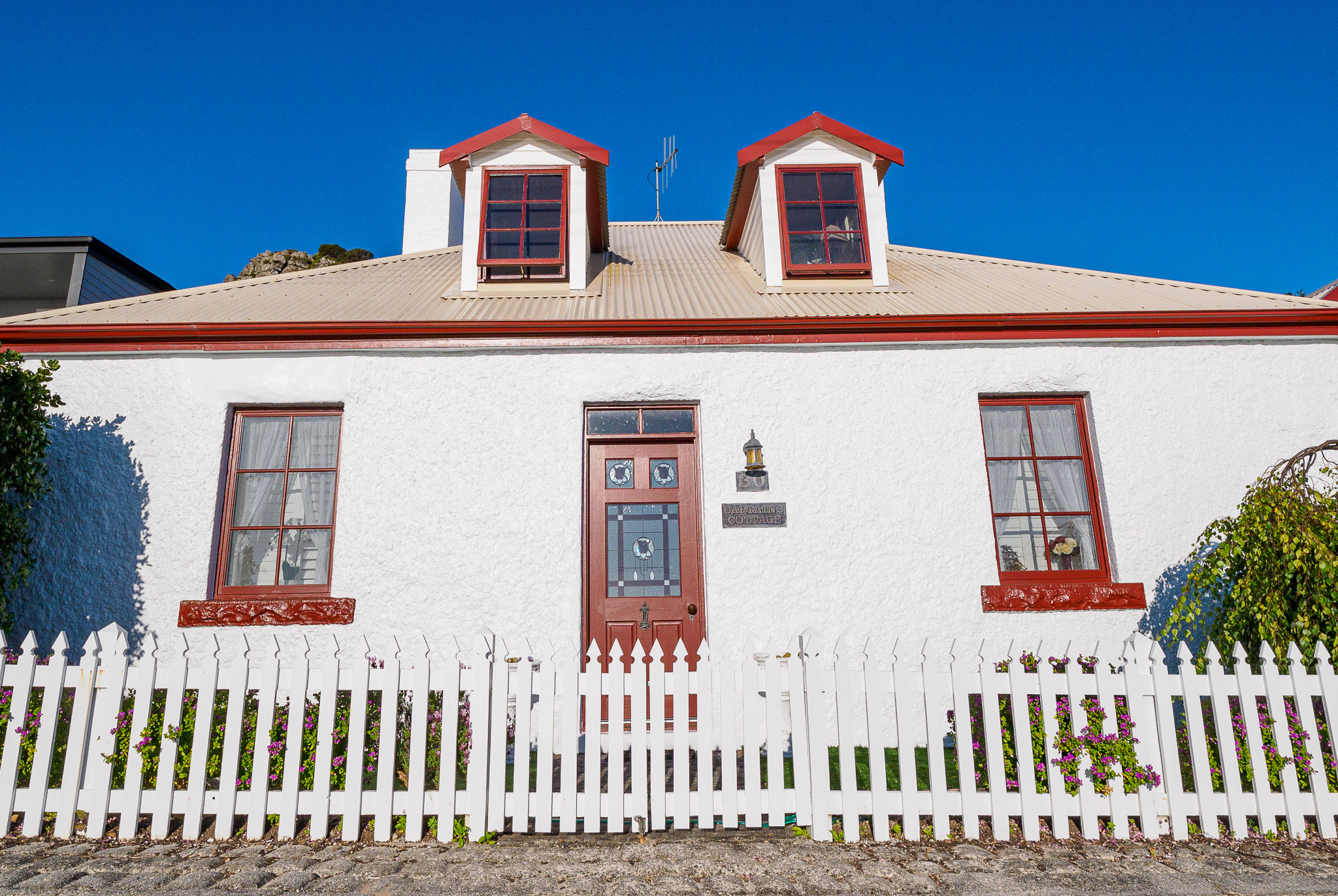
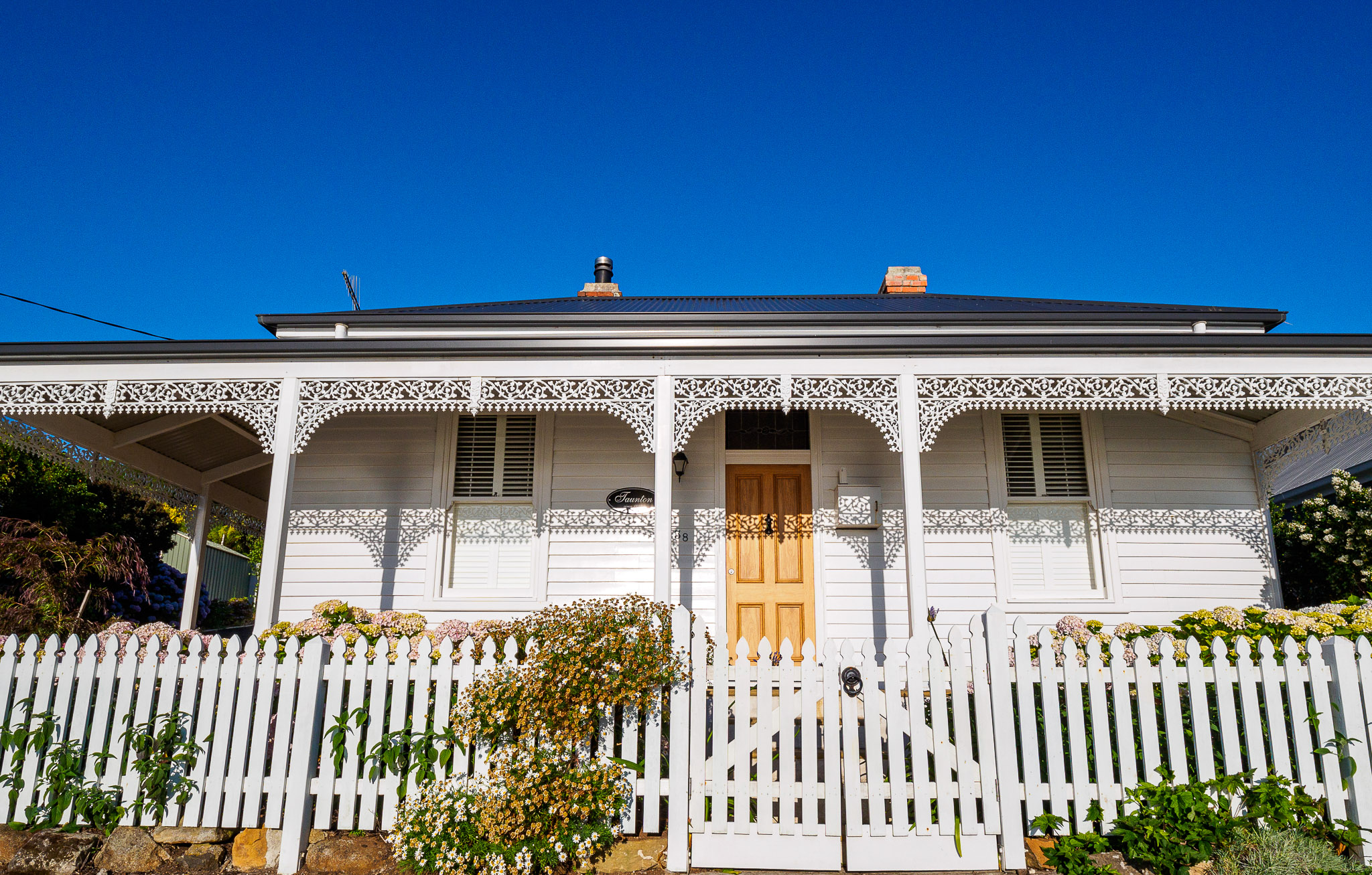
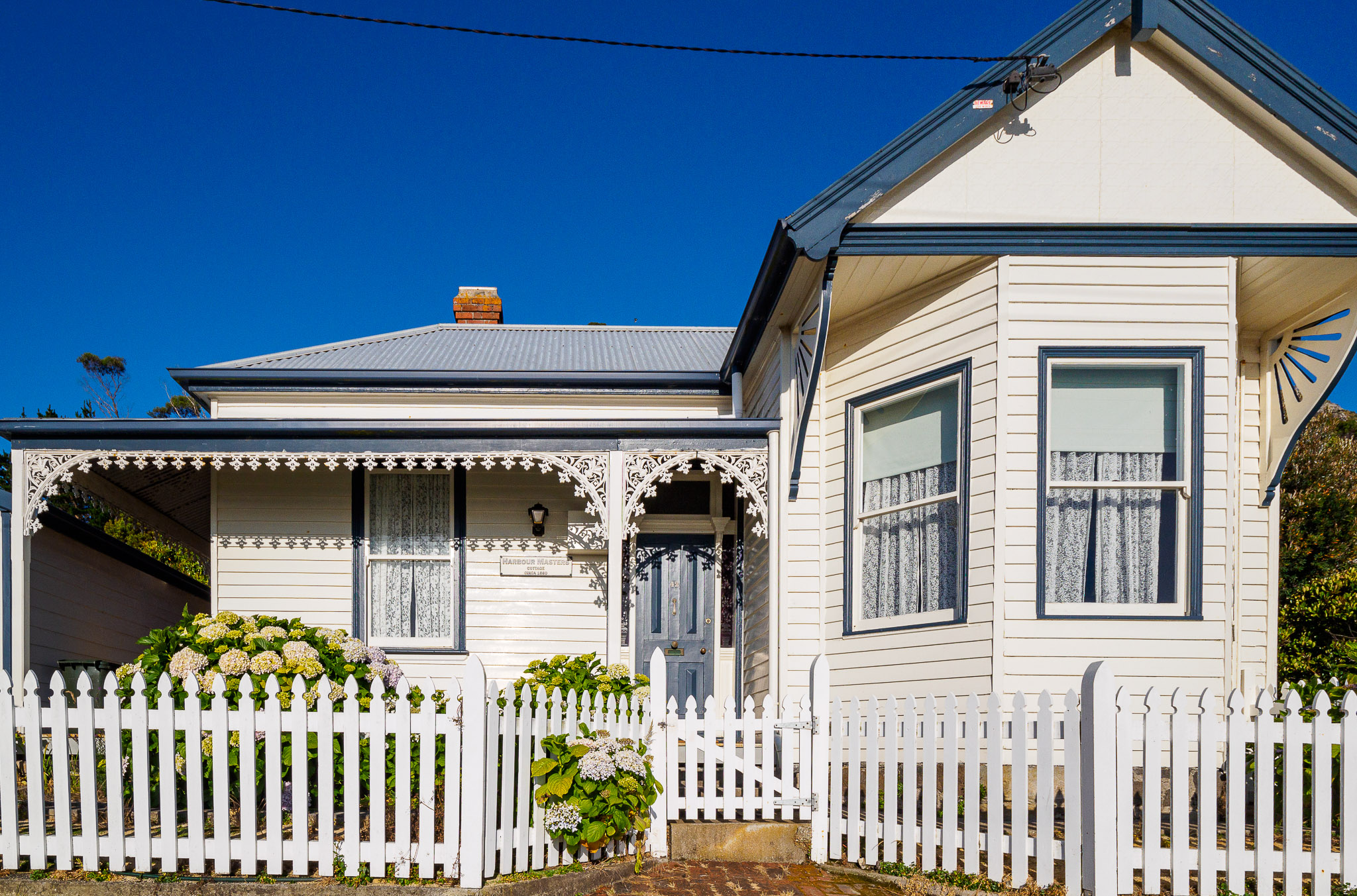
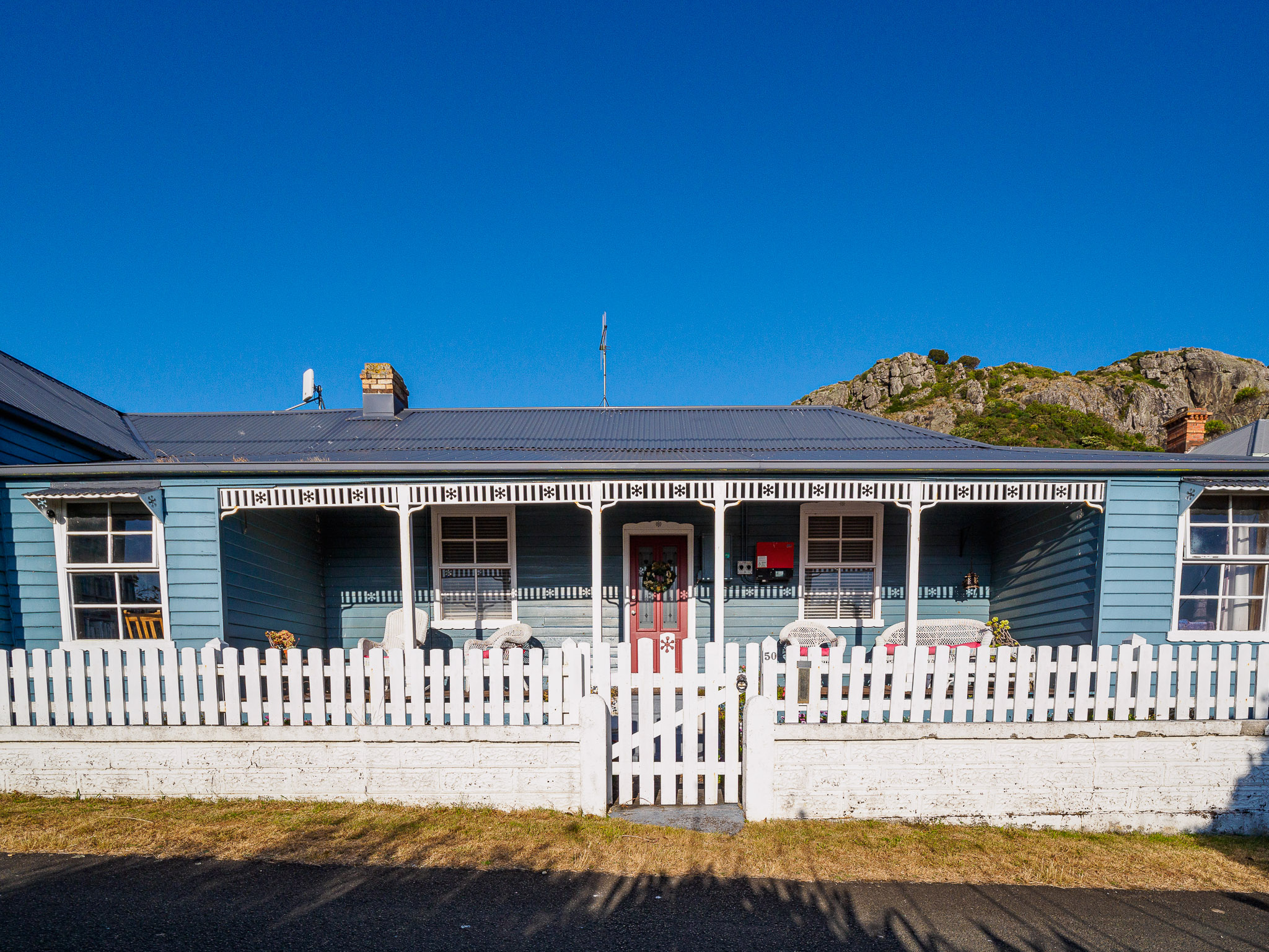
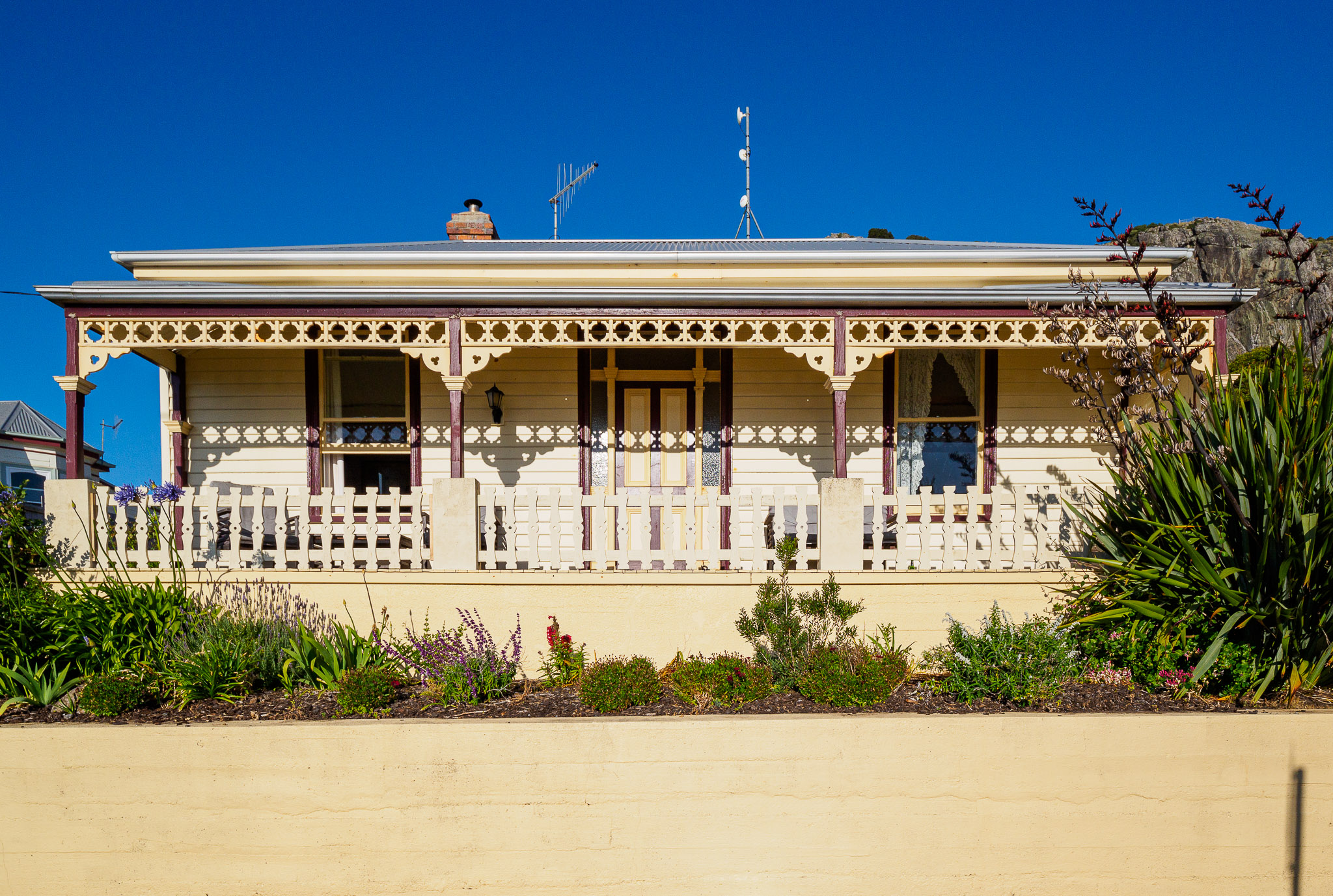
Pre-Dinner Stroll
The light was beautiful – the beginning of the golden hour – and we were able to take some photos of all the quaint cottages on Alexander Terrace.
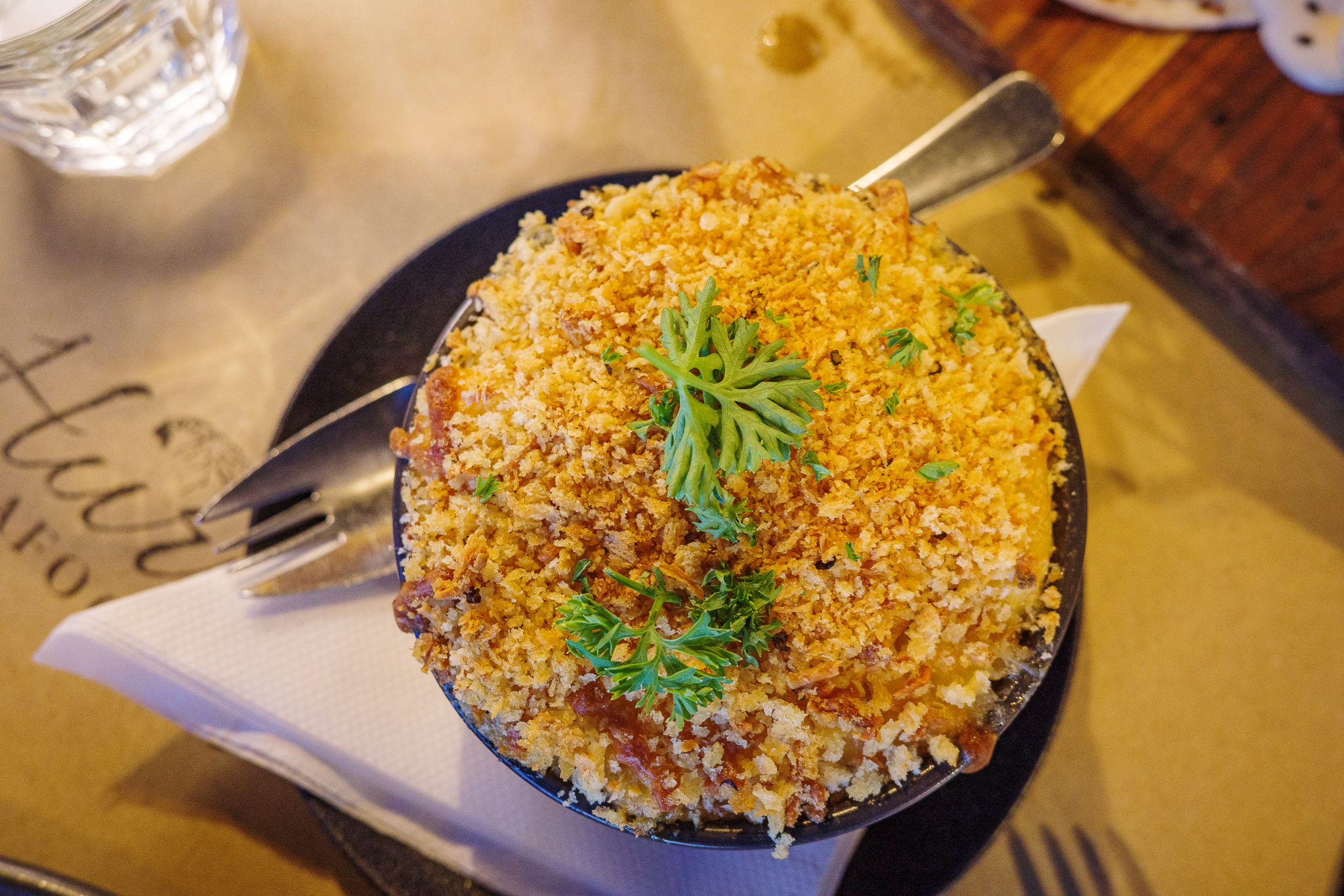
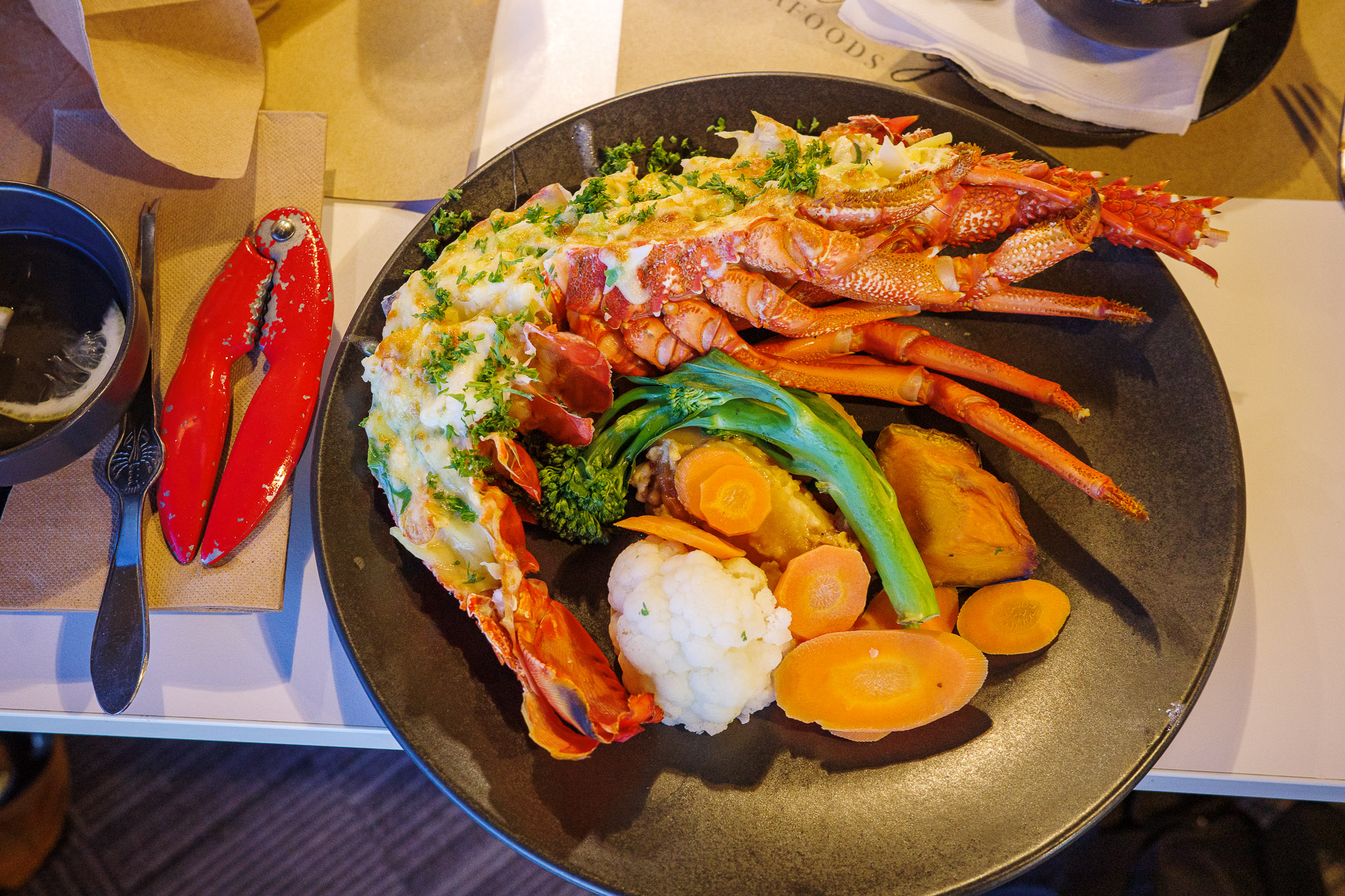
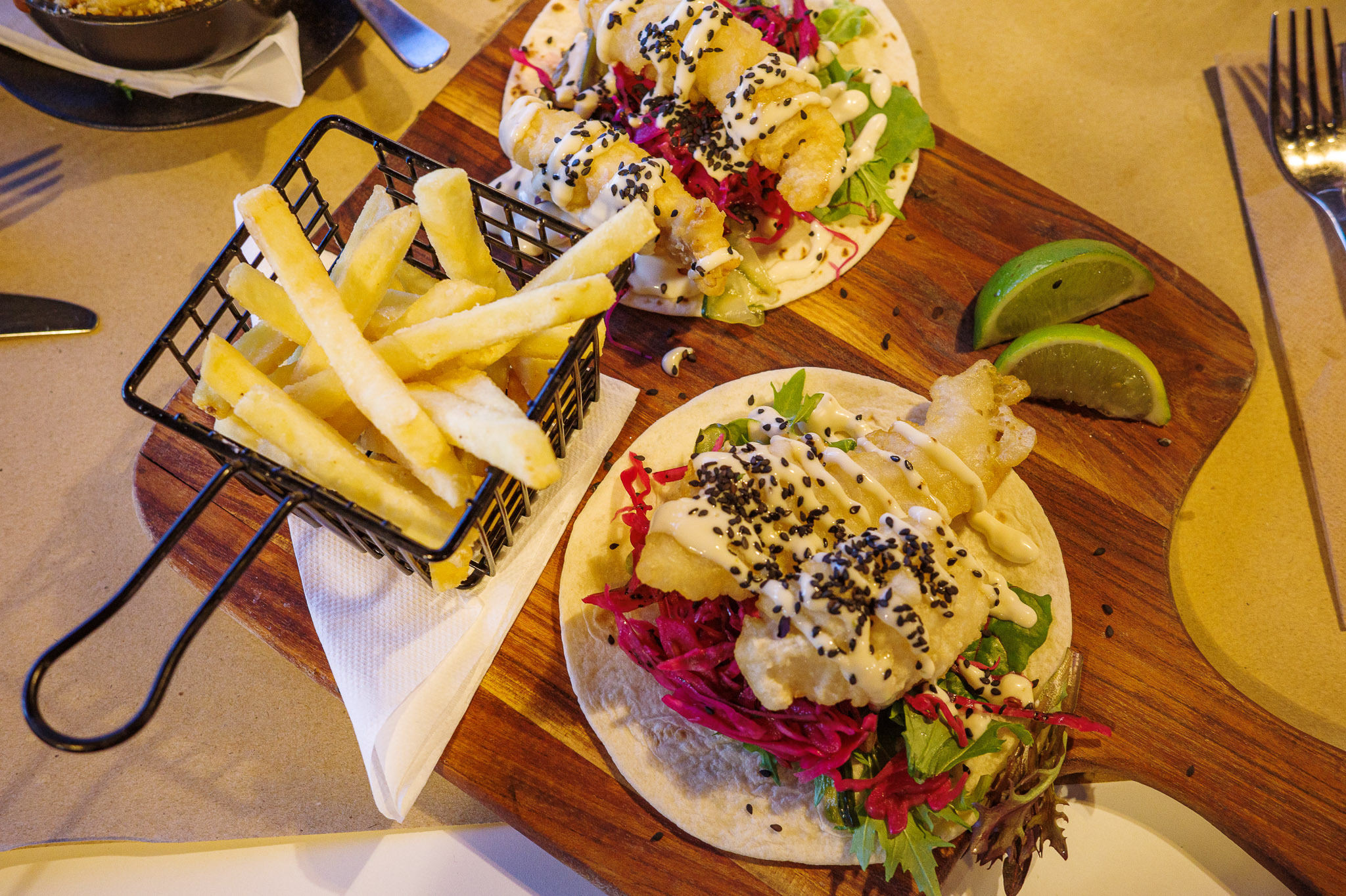
After our short walk, it was time for dinner at the Hursey Seafoods Restaurant. At last, as we were all hungry. Although it was toward the end of the evening (for the restaurant), it was still quite full. Being the last reservations of the day, the service was slow (but the food tasty), and we entertained ourselves with wine and beer in great company with Jess and Alex.
After dinner, as we were leaving, suddenly both Alex and Jess started to feel nauseous. They went directly to their hotel room. The next day, we found out that they both fell ill with Covid. More on that in tomorrow’s blog.
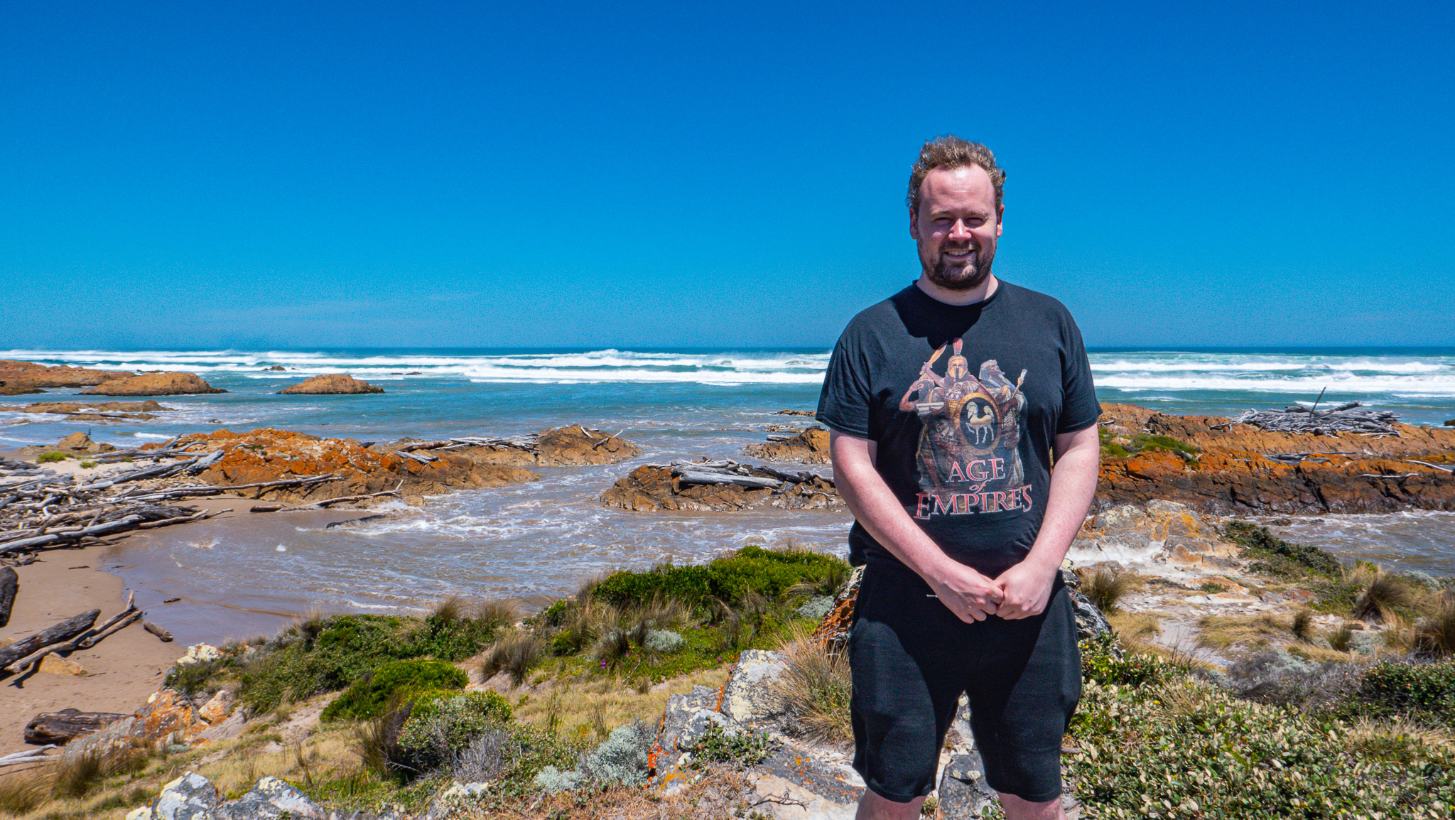
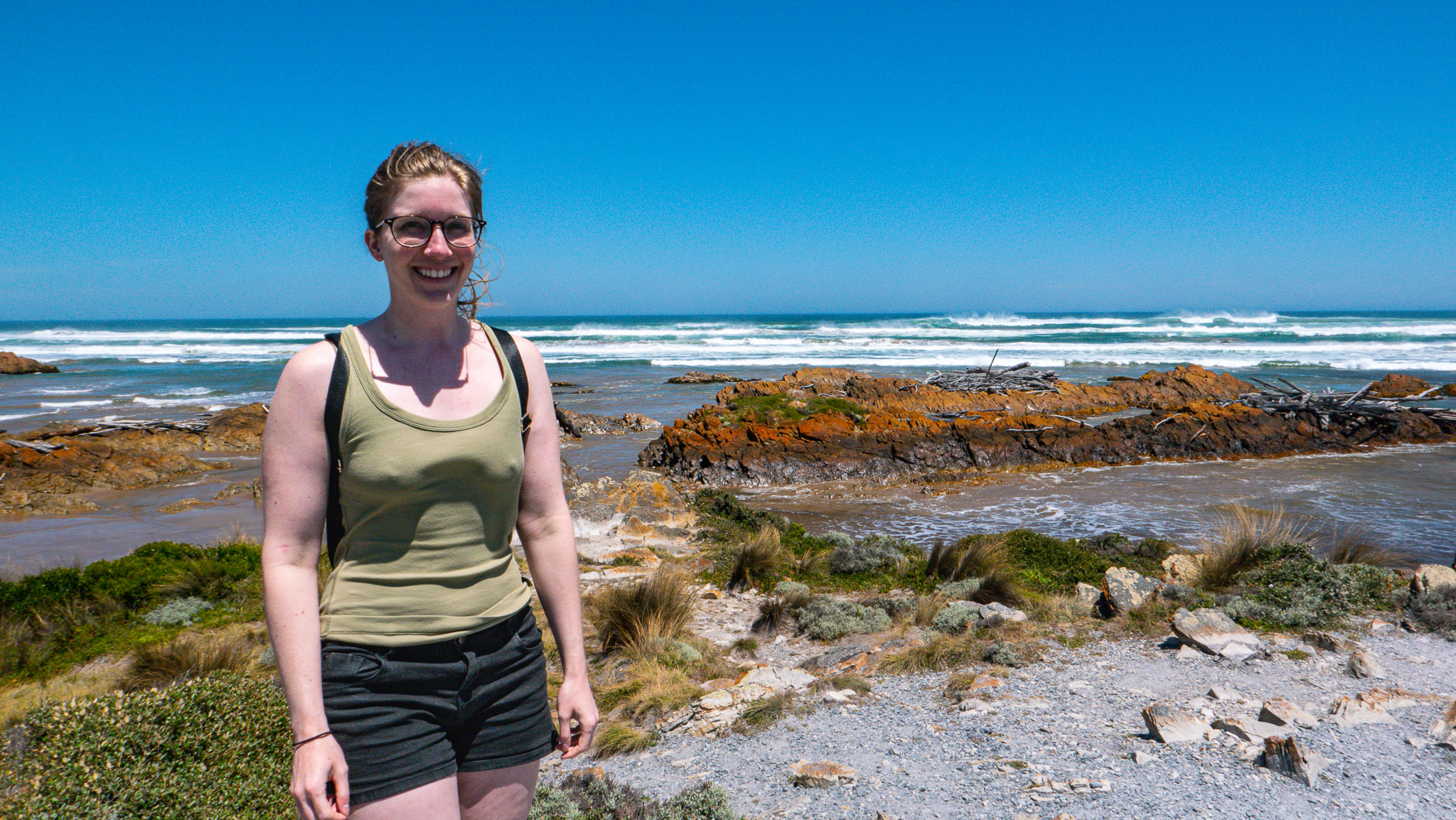
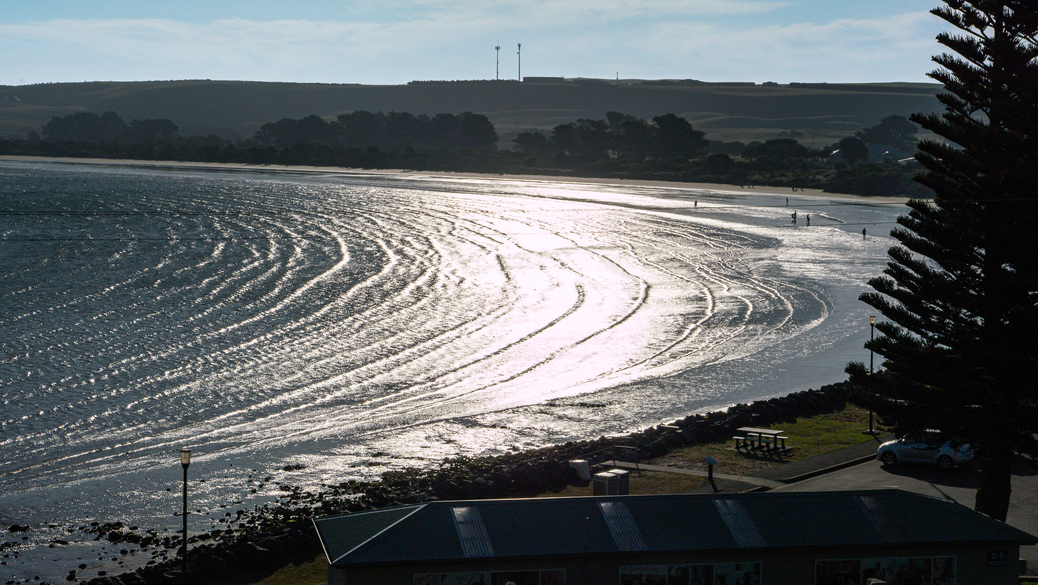
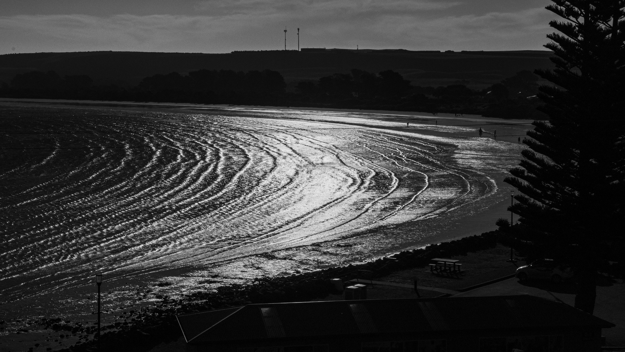
Jim and I finished the day by walking one last time (to digest) in the area, and taking some photos at dusk. What an amazing day filled with so much diversity. The photo on the left is original; the photo on the right has been manipulated to be black and white.
